Download
1 / 11
110 likes | 260 Views
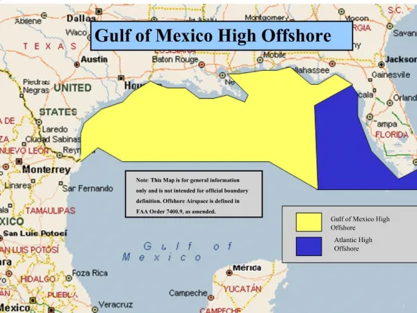
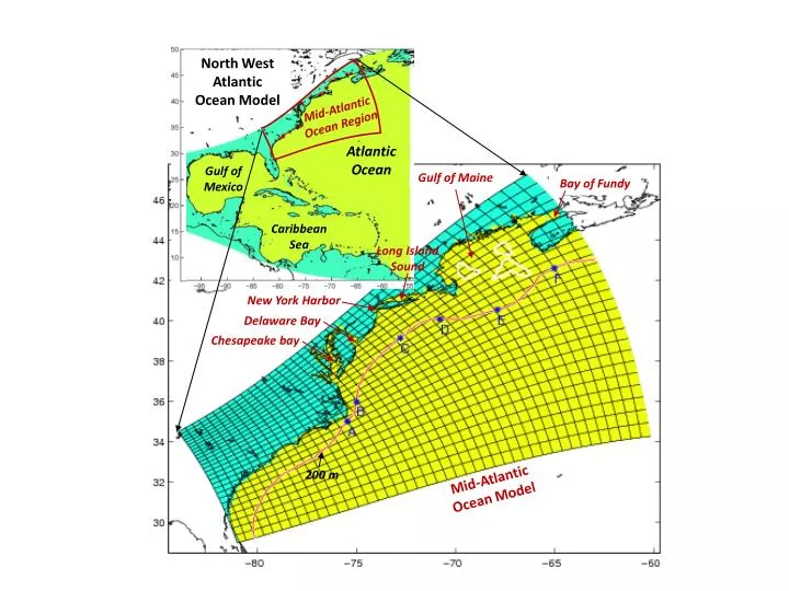
North West Atlantic Ocean Model. Mid-Atlantic Ocean Region. Atlantic Ocean. Gulf of Mexico. Gulf of Maine. Bay of Fundy. Caribbean Sea. Long Island Sound. New York Harbor. Delaware Bay. Chesapeake bay. 200 m. Mid-Atlantic Ocean Model. Volume Transport: (udy, vdx) dz. (A). (D).

E N D
North West Atlantic Ocean Model Mid-Atlantic Ocean Region Atlantic Ocean Gulf of Mexico Gulf of Maine Bay of Fundy Caribbean Sea Long Island Sound New York Harbor Delaware Bay Chesapeake bay 200 m Mid-Atlantic Ocean Model
Volume Transport: (udy, vdx) dz (A) (D) surface A 50 B 100 Z (m) C 150 D 200 F (B) (E) E (C) (F) bottom
Nova Scotia Cape Cod New York coast North Chesapeake Cape Hatteras 1.14 0.33 0.53 0.37 0.10 0.20 0.46 200 m A B C D E F -0.36 -0.47 -0.16 -0.81
Nova Scotia coast Cape Hatteras 1.14 0.20 0.46 200 m A B C D E F -0.36 -0.47 -0.16 -0.81
Whole Mean Value (Sv) Nova Scotia Cape Hatteras 1.14 0.20 0.46 A B C D E F -0.36 -0.47 -0.16 -0.81 Total in: 1.80 Total out: 1.80
0.36 0.46
North West Atlantic Ocean Model Mid-Atlantic Ocean Region Atlantic Ocean Gulf of Mexico Caribbean Sea New York Delaware Chesapeake