Download
1 / 10
100 likes | 286 Views
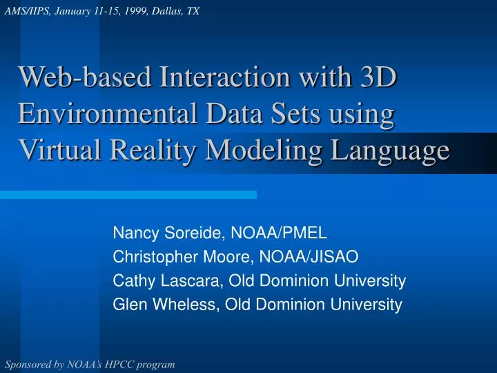
AMS/IIPS, January 11-15, 1999, Dallas, TX. Web-based Interaction with 3D Environmental Data Sets using Virtual Reality Modeling Language. Nancy Soreide, NOAA/PMEL Christopher Moore, NOAA/JISAO Cathy Lascara, Old Dominion University Glen Wheless, Old Dominion University.

E N D
AMS/IIPS, January 11-15, 1999, Dallas, TX Web-based Interaction with 3D Environmental Data Sets using Virtual Reality Modeling Language Nancy Soreide, NOAA/PMEL Christopher Moore, NOAA/JISAO Cathy Lascara, Old Dominion University Glen Wheless, Old Dominion University Sponsored by NOAA’s HPCC program
Background • Computational power is increasing • Observational systems sample the environment more densely • Environmental data and model outputs have become increasingly large • Newly emerging Virtual Reality technologies allow us to view, analyze and interact with data in new ways
Virtual Reality Modeling Language (VRML) • VRML is a file format which allows users to access, navigate, explore and interact with environmental data in 3D on the Web • VRML is scalable across platforms ranging from PCs to high-end workstations • Viewers or plug-ins are freely available for popular Web browsers, such as Netscape FOR MORE INFO... http://www.pmel.noaa.gov/vrml
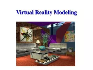
VRML Objects and Worlds • VRML objects mimic the real environment • Examples: Contour slices, color-coded poly-filled contours, surfaces, vectors, bathymetry, topography • VRML Objects can be touched, rotated, animated • Users interact with the objects • A VRML World consists of VRML objects • Created by: • Inserting the VRML graphical objects into a Virtual World • Specifying user interactions with the Virtual World
Project Objective • Create Web-based interface that supports interactive visualization of oceanographic data • Construct Virtual Worlds with oceanographic data • Initial focus on data from NOAA’s El Niño/La Niña monitoring buoys in the Tropical Pacific • Other datasets included as time and resources allow FOR MORE INFO... http://www.pmel.noaa.gov/visualization
3D El Niño/La Niña VRML World • Surface winds, Sea Surface Temperature, temperatures beneath the sea surface, dynamic topography, depth of the 20 C isotherm • Surfaces or objects can be selected for display • Visualization can be zoomed, rotated, animated • 3D visualization of near-realtime data from El Niño/La Niña monitoring buoys in the tropical Pacific Ocean FOR MORE INFO... http://www.pmel.noaa.gov/vrml
3D Fisheries-Oceanography Model Outputs • Model bathymetry with sea surface height and temperature for May 15, 1997 • Top surface is the sea surface height (without tides) colored by temperature at 10m depth - blue is cold, red is hot • Surface representing sea floor is colored by depth - red is shallow, blue is deeper • Spiky protrusions out of the sea surface are the Aleutian Island chain to the South (right), the Pribolof Islands to the North (left). • 3D Virtual Ocean from a biological-physical oceanography regional model of the Southeast Bering Sea From a viewpoint in the Bering Sea, looking towards the East FOR MORE INFO... http://www.pmel.noaa.gov/vrml http://www.pmel.noaa.gov/vrml/sebscc/start_sebscc.html
How VRML benefits the user • Scientists and researchers • VRML lets the scientist touch the data, move into it, and see it from different viewpoints • Scientists affirm that use of VRML discloses features of their data and model outputs which were undiscovered with standard visualization techniques. • With VRML, a scientist can share these insights with colleagues • Widens audience for scientific data and information • Government administrators and decision makers • Educators and students • General public
What you will find at our Web site • VRML objects and one or more Virtual Worlds created from TAO El Niño/La Niña data • VRML objects and/or Virtual Worlds from other NOAA/PMEL datasets • Web pages providing the methodology and technology used in creating VRML objects (e.g., toolkits available on-line) • White Paper documenting Lessons Learned in the creation of Virtual Worlds • Links to professional society meeting presentations of results http://www.pmel.noaa.gov/vrml
Conclusions & Future Directions • Virtual Reality helps the scientist and the lay person understand complex datasets and relationships • Web based Virtual Reality is widely accessible • Web based Virtual Reality can be shared • Including interactions between multiple users across networks • People sharing virtual worlds can see, talk, and interact with one another • e.g., multi-user VRML interaction • Faster network speeds will be achieved with Next Generation Internet (NGI), etc. http://www.pmel.noaa.gov/vrml Supported by NOAA/HPCC