Download
1 / 1
10 likes | 11 Views
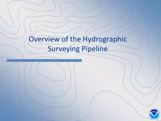
Hydrographic surveying is a crucial process that involves mapping the ocean floor and other bodies of water to understand their depths and characteristics.

E N D
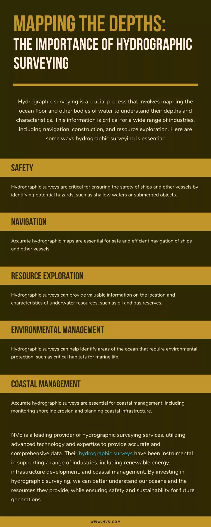
Mapping the Depths: The Importance of Hydrographic Surveying Hydrographic surveying is a crucial process that involves mapping the ocean floor and other bodies of water to understand their depths and characteristics. This information is critical for a wide range of industries, including navigation, construction, and resource exploration. Here are some ways hydrographic surveying is essential: Safety Hydrographic surveys are critical for ensuring the safety of ships and other vessels by identifying potential hazards, such as shallow waters or submerged objects. Navigation Accurate hydrographic maps are essential for safe and efficient navigation of ships and other vessels. Resource Exploration Hydrographic surveys can provide valuable information on the location and characteristics of underwater resources, such as oil and gas reserves. Environmental Management Hydrographic surveys can help identify areas of the ocean that require environmental protection, such as critical habitats for marine life. Coastal Management Accurate hydrographic surveys are essential for coastal management, including monitoring shoreline erosion and planning coastal infrastructure. NV5 is a leading provider of hydrographic surveying services, utilizing advanced technology and expertise to provide accurate and comprehensive data. Their hydrographic surveys have been instrumental in supporting a range of industries, including renewable energy, infrastructure development, and coastal management. By investing in hydrographic surveying, we can better understand our oceans and the resources they provide, while ensuring safety and sustainability for future generations. WWW.NV5.COM