Download

1 / 27
270 likes | 364 Views
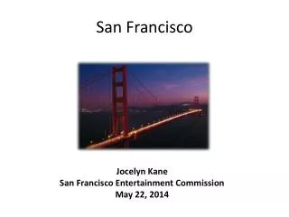
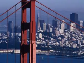
San Francisco District Coastal Activities. Frank Wu CERB Meeting June 4, 2009. Open Coast Ocean Beach Humboldt Bay Santa Cruz Harbor In-Bay Sacramento DWSC SF Bay to Stockton DWSC South SF Bay Shoreline.

E N D
San Francisco District Coastal Activities Frank Wu CERB Meeting June 4, 2009
Open Coast • Ocean Beach • Humboldt Bay • Santa Cruz Harbor • In-Bay • Sacramento DWSC • SF Bay to Stockton DWSC • South SF Bay Shoreline
Beneficial reuse of dredged material for beach nourishment at Ocean Beach and Humboldt Bay • Background info / controlling parameters / beach erosion • O&M dredge disposal activities / available sediment • Nearshore placement demo projects • Monitoring programs • Future nearshore/onshore placement layout development • Proposed numerical approaches • Conclusions and recommendations
Ocean Beach Onshore Placement Demo Project • Tidal range (4’ ~ 6’) • El Niño and storm surge (1.5’ ~ 2.5’) • Tidal currents (0.1 ~ 1 m/s) • NW and SW waves (1 ~ 3 m) • Sea level rise (0.2 m/100 yr)
North Reach, Accretion: + 0 ~ 6 m/yr South Reach, Erosion: -1 ~ 2 m/yr
Available sediment distribution • Beach sand (~ >0.25 mm)
USACE Nearshore Placement Demo Project • 2005, 2006, 2007 (May) • 300,000 cy x 3 • 750 m offshore, 9 ~ 14 m depth • Expect sediment onshore movement • Protect beach and outfall
USGS Monitoring Results • Pre and post sediment placement • 2005, 2006, 2007 (summer and winter) • Bathymetry, beach profile, wave, current • 50% sediment remained at disposal site • Confirm sediment onshore movement • Recommend future placement depth < 5 m, including nearshore and onshore placements
Conceptual Beach Nourishment Layout Development • 300,000 ~ 1,000,000 cy onshore placement • 3,000’ length, 30’ height, 150’ ~ 250’ width • Fine sand dune (1:3 slope) • Coarse sand berm (water front slope 1:25)
Conclusions and Recommendations for Ocean Beach • Plan onshore placement demo project • Prepare a draft report (9/30/09) • Target construction timeline (summer 2011) • Numerical modeling (ERDC, CMS-FLOW & CMS-WAVE, tide, wave, longshore and onshore-offshore sediment transport, 2D/3D), (USGS)
Humboldt Bay Nearshore Placement Demo Project • Develop nearshore placement site • Lessons learned from Ocean Beach • Beneficial reuse of dredged material • Establish monitoring plan • Proposed numerical approaches
High Energy System • Swell (NW, winter and summer) • Wind wave (SW, winter; N summer) (H: 3 ~ 13 ft; T: 12 ~ 16 s) • Tidal range (5’ ~ 7’) • Tidal current (1.5 ~ 2.5 ft/s)
Beach Erosion • USACE aerial photo (1992-2005) • Erosion of North Spit • Accretion of South Spit
Entrance Channel Maintenance • USACE Maintained 1881 • Northern, CA • 225 mi. N of SF Bay • 156 mi. S of Coos Bay, OR • Deep draft harbor (-48 ft MLLW) • Annually 1,000,000 cy (>95% sand)
Dredge Disposal Sites Map • SF-3 1940 ~ 1988 60’ ~ 90’ depth • NDS 1988 and 1989 50’ ~ 60’ depth • HOODS > 1989 160~ 180’ depth non-dispersive 50 x 106 cy capacity (60% left)
Nearshore Project Benefits • Nourish north spit • Increase wave protection • Reduce dredge disposal at HOODS • Maintain littoral cell • Reduce maintenance costs • Improve recreation (surf, beach) • Restore Habitat (snowy plover)
Proposed Nearshore Demo Project • Preliminary development (800,000 ~ 1,000,000 cy placement) • Area: 3 mi x ¼ mi • Sediment deposition: ~ 1.0 ft • 2 control cells (N & S) • Hopper dredge Essayons (USACE)
Demo Project Monitoring/Modeling • Control Cells • Sediment samples pre and post placement • Biological Survey (crabs) • Bathymetric Survey Suggested Future Activities • Field monitoring program (USGS / local university) • Beach response and sediment transport • Numerical modeling (ERDC) • CMS-FLOW and CMS-WAVE
Conclusions and Recommendations for Humboldt Bay • Lessons learned from Ocean Beach • Develop field measurement programs / bathymetry survey / monitoring • Perform numerical analysis / simulation • Design nearshore placement scheme
Acknowledgements • USACE-SPN PDT • USGS / M&N • USACE-SPD Thank You