Download
1 / 25
250 likes | 441 Views
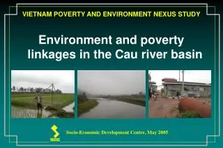
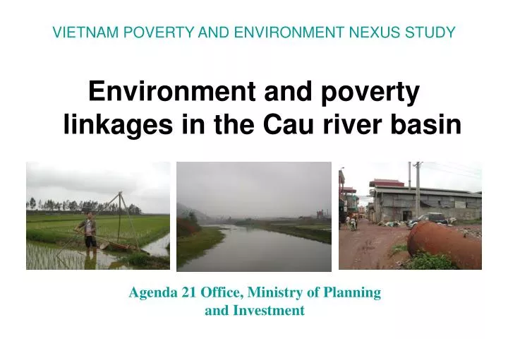
VIETNAM POVERTY AND ENVIRONMENT NEXUS STUDY. Environment and poverty linkages in the Cau river basin. Agenda 21 Office, Ministry of Planning and Investment. Sites of case study.

E N D
VIETNAM POVERTY AND ENVIRONMENT NEXUS STUDY Environment and poverty linkages in the Cau river basin Agenda 21 Office, Ministry of Planning and Investment
The main stream of Cau river has length of 288 km and basin area of 6030 km2. Total water flow of the river reaches 4200 km3 in a year. • The river is water source for 3,5 mil. People in the basin and 5 mil. in the affected region. • The river basin comprises 23 districts and 5 cities and provincial towns belonging to six provinces: Bac Can,Vinh Phuc,Bac Giang,Bac Ninh,Ha Noi and Hai Duong (province belongs to the Thai Binh river basin, but is affected directly by the Cau river water).
Research methodology • Literature and data review. • Quantitative study: interview with semi-structured questionnaire to 600 households in upstream and downstream areas (100 hhs x 6 communes), including: 1 commune in Cho Don district, 2 communes in Cho Moi district, 1 commune in Que Vo district, 2 communes in Yen Phong district. • Qualitative study: in-dept interview of district, commune officials, 40 hhs in 4 communes; group discussions of the poor, poor women, etc.
Economic growth in the Cau river basin Economic profiles of provinces in the Cau river basin are diversified: Mineral exploitation and forestry concentrate in Bac Can and Thai Nguyen provinces Thai Nguyen is also a centre of metallurgy and mechanical industries. A big number of craft villages is available in Bac Ninh and Bac Giang provinces. Hai Duong has cement factories, thermoelectric power plants, food and foodstuff processing industry. Ceramics, garment, etc. Agricultural production has high level of intensification in the whole basin, especially in downstream area.
GDP per capita Ranking provinces by per capita GDP, there are 3 groups: (1) Ha Noi (with 3rd rank among 64 provinces) has the highest income level (8,8 mill. VND/year); (2) Hai Duong, Vinh Phuc; Bac Ninh have a middle level of income (3,8-4 mill. VND/year); (3) Thai Nguyen, Bac Giang, Bac Can are poor provinces (2-3 mill. VND/year).
Poverty in provinces of the Cau river basin • Bac Can is the poorest province. • Thai Nguyen and Bac Giang ranked at 36 and 43 among 64 provinces by the increasing poverty. • Bac Ninh, Hai Duong and Vinh Phuc ranked at 14, 23 and 28 (In accordance with MOLISA data, 2004).
Poverty in upstream and downsteam areas Poverty is different in downstream and upstream areas: • Upstream is much poorer than downstream. • Poverty in upstream is absolute poverty; population lacks of basic living necessities. • Poverty in downstream is caused by lack of agricultural land, lack of jobs, low income, shortage of sanitary living conditions. High population density and environment pollution are the main reasons.
Poverty in upstream areas (1) • A part of households and small communities need to be supported for self-installation of electricity. • Most of water sources are not polluted, but there is water shortage in dry season and many households have to carry water home at a long distance. • High percentage of temporary housing. • Most of households doesn’t have sanitary facilities (toilet, bathroom, animal stall coled to living area).
Poverty in upstream areas (2) • Poor communal infrastructure: • Only 60% of communes in Cho Moi district has a lower secondary school. • 22% class rooms are temporary; 56% permanent (one-storey brick house); and 22% permanent (multi-storey house). • 1 medical doctor / doctor assistant is servicing 1000 person in a area of 1680 hectares.
Housing and water supply in upstream 2/3 semi-permanent and 1/3 temporary houses 1/3 dug well and 2/3 mountainous well, streams, river
Poverty in downstream areas High population density, few agricultural land under-employment low income poverty degradation of sanitary environment due to cottage industry.
Comparison of some indicators of upstream (Cho Moi) and downstream (Yen Phong) districts
Environment in the Cau river basin Four major human activities that caused environmental changes in the Cau river basin: 1) Excessive exploitation of forests in upstream areas; 2) Industrial pollution; 3) Agricultural production; and 4) Waste from daily life.
Forest in upstream areas • Forest restores, but at a low speed. Restoration based mainly on natural process, with few intervention. • Forest has low quality. • Forest land has been allocated to households, but benefits is not strong enough to encourage hhs to take proper care and protect forest. • No effective policies to ensure forest product market for farmers.
Types of forest in upstream areas Natural and planted forests Destroyed and restored forests
Mining industries in upstream areas Mining industries continue to pollute water sources, soil and destroy landscape: • There are 35 mining and mineral processing enterprises in Bac Can, 100 mining ores in Thai Nguyen, many illegal mining groups. • Solid waste released from coal mines in the Cau river basin is estimated at 1.5 million tones per year; from iron mines, 2.5 million tones per year; and from tint mines, 800,000 tones per year. • Polluted water wasted from mining ores. • Forest and landscape have been destroyed.
Environment degradation in downstream areas • Pollution caused by large and medium enterprises is not effectively avoided. • Craft villages develop fast and are important polluting factor: + There are more than 200 craft villages in the Cau river basin. + 3 major characteristics of craft vilages: (i) Spontanous development; (ii) Low level of technology; (iii) High instability due to weak competitiveness, small investment, no close links with consumption market and unqualified labour. Phong Khe - “paper village” and Tam Da - “alcohol village”
Impacts: serious pollution of water sources in craft villages
Negative impacts on healthSickness and sick days are higher among the poor
Summary of research findings (1) Economic growth and environment: The rapid economic growth in the context of poor economy, huge population and obsolete technology in line with highly intensive exploitation of natural resources such as forest, water, and minerals has consequently resulted in resource depletion, serious pollution and erosion in the Cau river basin. (2) Poverty: • In upstream areas, less developing infrastructure and self-sufficient economy are cause for poverty. The population cannot access the basic needs (electricity, clean water, solid housings, healthcare service, and schools for children). • In downstream areas, poverty is reflected in the shortage of cultivated land, lack of jobs and strong social gaps, scarcity of clean water and polluted living environment.
Summary of research findings (3) Impacts of poverty on environment:High demand for poverty reduction has led to intensive exploitation of all resources. • In upstream areas, forest and minerals have been over-exploited. • In mid- and downstream areas, industrial and agricultural production, especially production in craft villages polluted water sources, soil and air. (4) Reverse affects of environmental degradation to poverty: • In upstream areas, people are in shortage of clean water, farming activities are affected by toxic residues in soil and water. Many villages are damaged by natural calamity related to upstream deforestation. • In the middle and downstream areas, environmental pollution accelerates the poverty in some dimensions, for examples, meeting the needs of clean water and air, and sickness of population.
Summary of research findings (5) The poor and the environment: • The poor involve in the process of environmental deterioration as the employees under the pressure of existence. Entrepreneurs and decision-makers of socio-economic development and environmental protection strategies and plans are those who are primarily responsible for natural resource and environment destruction. • On the other hand, the poor are more affected as they cannot afford to protect themselves and to mitigate the impacts. (6) Insufficient awareness of sustainable development and integrated management of regional development: A common standpoint in the society is that the development is prone to economic growth and job creation, little attention is given to protection of natural resources and environment. Actions following this standpoint decrease sustainability of development in the Cau river basin.