Download
1 / 13
130 likes | 240 Views
Evapotranspiration and the USGS Water Census. Jerad Bales NASA Evapotranspiration Workshop April 5 – 6, 2011 Silver Spring, VA. “We do not have an adequate picture of water availability at national, regional, and local levels.”. National Science and Technology Council,

E N D
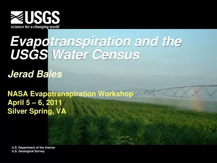
Evapotranspiration and the USGS Water Census Jerad Bales NASA Evapotranspiration Workshop April 5 – 6, 2011 Silver Spring, VA
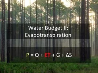
“We do not have an adequate picture of water availability at national, regional, and local levels.” National Science and Technology Council, Committee on Environment and Natural Resources, 2004 So, how can we deal with unknown future conditions?
Issues—Water Use Estimates • Self-supplied GW use determined by difference: Self-supplied use = Total population minus population served by public systems multiplied by estimated usage per person. • Agricultural use determined from coefficients: Example: Water use for livestock = Number of animals multiplied by gallons per day used per animal. • Water use typically reported by county • Limits on reporting • Virtual Water
Issue: Withdrawals and Use Values are for U.S.; modified from Kenny et al., 2009; and Solley et al.,1998
WaterSmart – Water Census The National Water Census An integral part of the USGS Science Strategy to conduct an ongoing assessment of the Nation’s water resources • A DOI initiative on water conservation. Includes activities in: • Bureau of Reclamation • U.S. Geological Survey • Office of Ass’t. Sec. for Water & Sci. The Water Availability and Use Assessment proposed in the 2011 budget is part of WaterSMART and the National Water Census
GSFLOW—Coupled GW – SW Modeling • Simultaneous simulation of flow across the land surface, within saturated and unsaturated subsurface materials, and between terrestrial and surface-water domains. • Single or multiple watersheds ranging from a few to several thousand km2 • Time periods ranging from months to several decades. • Daily time steps.
4-km x 4-km Monthly Water Balance Model McCabe and Wolock, 2010
Water Census: Energy and Water • Fuel extraction • Energy production • Biofuels • Changes in irrigation • Crop changes changes in ET • Crop changes changes in micro-climate
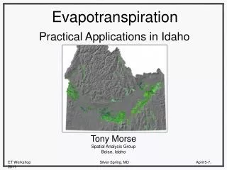
Landsat Data for ET Estimation Tony Morse, ID Dept. of Water Resources presentation, July 2006
ET Data Collection Numerous sites with varying lengths of record Typically partner funded
Contact Information Dr. Jerad Balesjdbales@usgs.gov703-648-5044 • USGS Web resources: • USGS Water Programs:http://water.usgs.gov • Water Use Program: http://water.usgs.gov/watuse/ • Great Lakes Pilot: http://water.usgs.gov/wateravailability/greatlakes/ • Water Data: http://water.usgs.gov/data/