Download
1 / 1
10 likes | 237 Views
LiDAR in environmental Modelling Dr. Seamus Coveney. Introduction. LiDAR integration. Light Detection and Ranging (LiDAR)

E N D
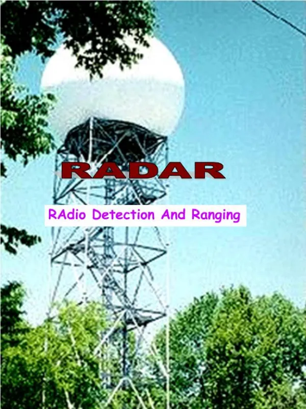
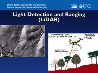
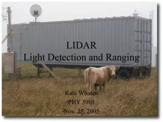
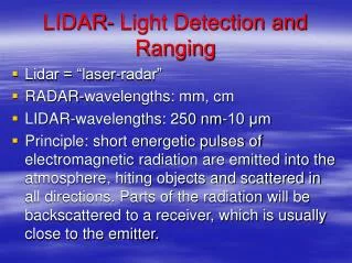
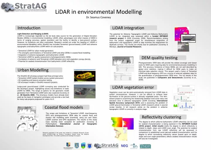
LiDAR in environmental Modelling Dr. Seamus Coveney Introduction LiDAR integration • Light Detection and Ranging (LiDAR) • LiDAR is increasingly regarded as the de facto data source for the generation of Digital Elevation Models (DEMs) in environmental modelling. LiDAR, offers advantages over other classes of DEM in terms of ranging accuracy, spatial resolution and the facility to identify a bare-ground surface. However, its limitations are often overlooked. Research carried out under the heading of ‘LiDAR in environmental Modelling’ within StratAG has included Terrestrial (ground-based) LiDAR and airborne topographic and bathymetric LiDAR within six sub-projects. • Terrestrial LiDAR for urban model generation • The strengths and limitations of Terrestrial LiDAR and other DEMs in coastal flood modelling • Integration of airborne topographic and bathymetric LiDAR • Terrestrial LiDAR for quality assessment of photogrammetric DEMs • Correlation of airborne (and Terrestrial) LiDAR elevation error and vegetation canopy density • Potential for seabed characterisation from bathymetric LiDAR reflectivity The potential for Airborne Topographic LiDAR and Airborne Bathymetric LiDAR to be integrated was assessed within a funded INFOMAR research project in 2009 (Coveney, 2009). Recommendations arising from the project suggested scope for simultaneous acquisition of bathymetric and topographic LiDAR to help minimise the requirement for duplicate surveys. The results are shortly due for publication (Coveney & Monteys, Journal of Coastal Research). DEM quality testing Photogrammetric DEM data still provide the widest coverage and lowest costs for DEM users requiring data for environmental process modelling in GIS. The accuracy limitations of these DEMs are not well described by global error statistics, making it difficult for DEM users to make an informed data selection choice. This project used a fusion of Terrestrial LiDAR and dual-frequency GPS as a source of external validation data fro the quantification of photogrammetric DEM error. The full results of this study are published in Computers and Geosciences (Coveney et al., 2009). Urban Modelling • The StratAG 3D eCampus project had three principal aims: • Terrestrial LiDAR tested (mobile survey system precursor) • 3D modelling and feature extraction testing • 3D eCampus models in StratAG research projects • Large-scale ground-based LiDAR surveying was conducted for the eCampus project, highlighting issues and limitations of static LIDAR fro MMS. The range of options for 3D geometric model generation from Terrestrial LIDAR were also explored (Coveney et al., 3D Geoinfo 2009). The eCampus models have already been used as the basis of navigation prototypes and provide a test bed for many sub-projects proposed for years 4 & 5. LiDAR vegetation error Vegetation cover can be semi-automatically removed from LiDAR data in certain circumstances. However, it can be difficult to achieve laser illumination of the ground surface in densely vegetated areas. This twin-stream project is examining the relationship between land cover class and elevation error in airborne topographic LiDAR (Coveney, InternationalSpatial Accuracy symposium 2010) and is assessing the problem of LiDAR ground illumination in Terrestrial LiDAR (research article in second review rewrite). A full research article on the problem in airborne topographic LiDAR is currently in analysis stage. Coastal flood models The scope and limitations of Terrestrial LiDAR, dual-frequency GPS and photogrammetric DEM data for coastal flood and erosion risk modelling were examined, using our own Static LiDAR scanner and GPS equipment. The results of this study have recently been accepted for publication (Coveney & Fotheringham, International Journal of Geographic Information Science). Reflectivity clustering The degree to which airborne bathymetric LiDAR reflectivity can be used for seabed characterisation is being explored in this INFOMAR funded (2010) project. Initial results clarify the degree to which reflectivity is related to depth, slope and LiDAR scan angle. The potential for seabed characterisation from raw LiDAR reflectivity will be assessed in comparison to established sonar-derived seabed characterisation and the degree to which normalising reflectivity values (based upon on depth, slope and scan angle parameters) affects seabed characterisation results will also be investigated. Research presented in this poster was funded by a Strategic Research Cluster Grant (07/SRC/I1168) by Science Foundation Ireland under the National Development Plan. The authors gratefully acknowledge this support.