Download
1 / 4
50 likes | 167 Views
What is the HEARTS Project?. H ealth E ffects A nd R isks of T ransport S ystems (HEARTS) A research project to provide integrated estimates of the health effects of exposure to risks from transport policies

E N D
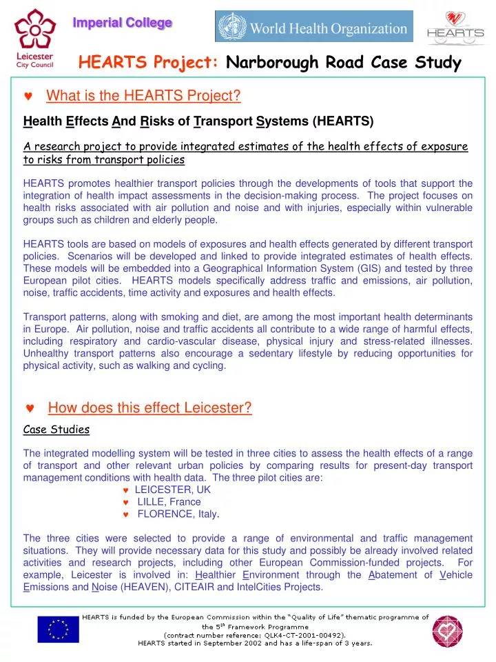
What is the HEARTS Project? Health Effects And Risks of Transport Systems (HEARTS) A research project to provide integrated estimates of the health effects of exposure to risks from transport policies HEARTS promotes healthier transport policies through the developments of tools that support the integration of health impact assessments in the decision-making process. The project focuses on health risks associated with air pollution and noise and with injuries, especially within vulnerable groups such as children and elderly people. HEARTS tools are based on models of exposures and health effects generated by different transport policies. Scenarios will be developed and linked to provide integrated estimates of health effects. These models will be embedded into a Geographical Information System (GIS) and tested by three European pilot cities. HEARTS models specifically address traffic and emissions, air pollution, noise, traffic accidents, time activity and exposures and health effects. Transport patterns, along with smoking and diet, are among the most important health determinants in Europe. Air pollution, noise and traffic accidents all contribute to a wide range of harmful effects, including respiratory and cardio-vascular disease, physical injury and stress-related illnesses. Unhealthy transport patterns also encourage a sedentary lifestyle by reducing opportunities for physical activity, such as walking and cycling. • How does this effect Leicester? • Case Studies • The integrated modelling system will be tested in three cities to assess the health effects of a range of transport and other relevant urban policies by comparing results for present-day transport management conditions with health data. The three pilot cities are: • LEICESTER, UK • LILLE, France • FLORENCE, Italy. The three cities were selected to provide a range of environmental and traffic management situations. They will provide necessary data for this study and possibly be already involved related activities and research projects, including other European Commission-funded projects. For example, Leicester is involved in: Healthier Environment through the Abatement of Vehicle Emissions and Noise (HEAVEN), CITEAIR and IntelCities Projects.
What does the Project actually involve? • Leicester City Council, working in partnership with Imperial College of London, will undertake analysis at two levels: City-wide Analysis This will estimate exposures to each hazard based on residence and/or school or workplace, using: • Air Quality Modelling • Noise Modelling • Accidents Modelling • Noise Monitoring. Specific Detailed Analysis This will concentrate upon schools within the area, using individual time-activity data provide by school children and actual traffic and environmental data: • Air Quality Monitoring and Modelling • Personal and micro-environmental monitoring • Time-Activity Surveys (focussed on School Children) • Traffic Monitoring and Modelling • Noise Monitoring Time-Scales The HEARTS Project started in September 2002 and will run until August 2005. However, most of the data for the Specific Study Area will be collected between September to December 2004. The majority of the traffic monitoring can be done remotely, using equipment already set-up in the area but the Time-Activity Survey requires the initial participation of local Schools within the area. • Which Schools can participate and what is involved? Any Infant, Junior or Primary School within our Study Area can become involved. The key role of the School will be to select a group of children to participate in Time-Activity Surveys. This will include them monitoring their journeys over 48 hours and completing a log and map of their routes. Additionally, the School may be asked to accommodate a remote Air Quality Monitor for a short duration of the study.
Groby Road Outer Ring Road Western Park Hinckley Road Narborough Road Braunstone Park • What area does the ‘specific’ HEARTS Boundary cover? Braunstone and New Parks, which includes Narborough Road, Hinckley Road and Groby Road, have been specifically chosen as the specific HEARTS study area were more detailed analysis will occur.
What does HEARTS offer those participating? Certificate & Wall Chart A Certificate from the World Health Organisation (WHO), Leicester City Council and Imperial College of London that will detail their School’s involvement within the HEARTS Project. The Wall chart will be tailored for each School to summarises the data collected and analysis undertaken. Specific Child Data Each School will be able to obtain data relating to their own School Children, this will include: • Copies of all data collected from the Time-Activity Surveys relating to routes to and from school and modes of transport. • Results of any analysis from information collated, such as geographical or statistical, information.. This information could, potentially, be incorporated into the School's TRAVEL PLAN or be used for classroom activities. Information Free access to any other information gathered during the project, such as: • Air Quality information, this will be both specific to your School and generally over the Study Area • Traffic, Noise and Accident Data over the Study Area. • Contact Details Miss Janet Robinson, T: 0116 299 5693 / e: robij007@leicester.gov.uk Leicester City Council Special Projects Team, Transport Systems, 3rd Floor, York House, 91 Granby Street, LEICESTER, LE1 6FB Dr John Gulliver, T: 020 7594 3276 / e: j.gulliver@ic.ac.uk Imperial College of Science, Technology & Medicine Norfolk Place, St. Mary’s Campus, LONDON, W2 1PG