Download
1 / 48
480 likes | 573 Views
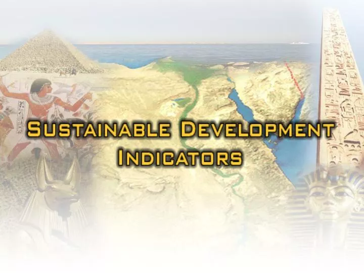
Indicators provide an effective means to evaluate trends in environmental conditions and associated economic and social parameters. They allow policy-makers and others, to assess the benefits and costs of investments in the environment, and help to set the future interventions priorities.

E N D
Indicators provide an effective means to evaluate trends in environmental conditions and associated economic and social parameters. They allow policy-makers and others, to assess the benefits and costs of investments in the environment, and help to set the future interventions priorities.
An examination of theGreat Pyramidsof Egypt and other buildings clarifies that the Egyptians at a very early stage incorporated a measurement system. A fragment of a schist cubit-rod from the New Kingdom used for measurement
In old Egypt, Certainly There was a need for the measurement units because of the ancient Egyptian belief in the other world and in judgment of the dead by weighting the heart.
We are well aware of the Egyptian measurement systems because a number of measuring rods of different materials used by craftsmen and surveyors have survived. However, our knowledge comes from ceremonial cubit-rods cut in stone and deposited intemples, or sometimes buried with officials.
Other useful information was sometimes recorded on these devices, such as the inundation levels of theNile Riveror references to nomes (provinces) of ancient Egypt. The principal unit of measurement in ancient Egypt was the royal cubit, a length of approximately 52.4 cm. A fragment of a schist cubit-rod from the New Kingdom used for measurement
Nilometer is a station that shows the height of the Nile waters. Egyptians began measuring the rise of the Nile flood probably even before historic times in order to predict the harvest. Nilometer auf der Insel Elephantine Nilometer Elphantin Island
The most important Nilometer lays on the island of Elephantine, others were built at different times at Philae, Edfu, Khenu, Memphis, Heliopolis, Buto and other places
Also during the Islamic period the Egyptian knew measurement such as the Nilometer ( Mikyas al-Nil )whichis the oldest aquatic structure in Islamic Egypt. It has the shape of a well. In the middle of the well there is an octagonal marble pillar with measuring signs. The Nilometer is on the southern tip of Rawda (Roda) Island. A plan and section of the Mikias at Cairo to measure the height of the Nile
1- Assess which indicators proposed by the “Blue Plan” and the Arab League are meaningful, useful, and important in the Egyptian context. “Some are irrelevant or structured in ways that reflect European rather than Egyptian realities and need to be reframed”. The strategy adopted to build Egypt's Indicator has several steps:
2- Assess data availability, since the lack of data for a particular indicator will make the effort much more difficult and costly in time and resources. Thus, the availability of data is likely to be important at least in structuring Egypt's initial indicator set. The Strategy Adopted Steps…
3- Set priorities among the indicators that are both important and feasible, to choose those which would be part of a first Egyptian Environmental Indicators Set. The Strategy Adopted Steps…
4-Develop a road map for how to build indicators in the areas selected for the initial indicator Set. The Strategy Adopted Steps…
Development Steps… Environmental Natural Resources (ENR) Indicator Development The plan of action for carrying out this work suggested a series of steps:
Development Steps… Step 1… Develop a comprehensive list of potential indicators by ENR sector/sub-sectors ,building on the “Blue Plan”, the Arab League, and other sources. The indicators would be categorized and a determination made of what data would be needed and where it might be found.
1- Identify potential data sources and evaluate available data. 2-Identify focal points in the cooperating agenciesand create an Indicator Working Group (WG) joining those focal points along with representatives from EEAA. 3-Develop criteria for evaluating the data sources and a framework for the collection and provision of data. Development Steps… Step 2…
Analyze the data to identify its strengths, weaknesses, and gaps, using the evaluation criteria developed in step 2. Development Steps… Step 3…
Develop criteria for the assessment of potential indicators in step 1 above. Based on that assessment, prepare a list of indicators Development Steps… Step 4…
Determine the technical requirements foradecision support system on ENR based on the indicatorsproposed above. Development Steps… Step 5…
Table (1) below summarizes the availability, at the three information nodes (EEAA,CAPMAS, IDSC), of the data associated with each of the 53 suggested indicators. Most data are available for the areas of: Data Availability Findings • Demography • Global air pollution • Land management • Protected areas and biodiversity
On the other hand, data are mostly unavailable in any of the three information nodes, for the areas of: Hazardous wastes and materials Drinking water Energy Water management Level of efforts on environmental management
Table1 :Sources of Data for the 53 Proposed Environmental Indicators
Table2 presents possible sources for unavailable data, at governmental bodies (ministries, authorities, agencies, etc.)
Table2: Proposed Environmental Indicators with Data Unavailable at the Three Information Nodes Top Priority
Availability of Information for Data Assessment The availability of and level of detail contained in information gathered for data assessment significantly varied from one information node toanother based on two main issues: - Data collection processes the methods used by each of thethree nodes to obtain data. - The policies and regulations within each node governing release of information.
Table3 presents findings concerning data collection and recording and quality assurance for the data available at the three information nodes..
Table3: Proposed Environmental Indicators with Available Data and Data Assessment Responses Key ● most information ○ some information ▬ no information Top Priority
Table 4 summarizes the evaluation of the data needed for the identified 53 indicators.
Table4: Data Evaluation Key Satisfactory Unsatisfactory Unusable Unidentified ? Not disclosable Unavailable —
Data AssessmentConclusions The assessment of data required for the calculation of the proposed 53 indicators was carried out based on availability and suitability. Suitability is a qualitative composite of the five attributes (Robustness, Suitability to purpose, Usability, Transferability, Quality assurance) used for data evaluation. This assessment was carried out with a focus on the three information nodes mentioned previously.
Table 5 Summarizes data availability for indicators, categorized by area of focus. This gives a helpful overview of the areas for which obtaining the necessary data, and the areas where data availability might be problematic.
Table5: Data Availability for Environmental Indicators by Area
With regards to data suitability, and based on the findings summarized in table 4, indicators can be generally categorized into groups I to IV Group I: comprises indicators with the associated data available at one or more of the three information nodes. These indicators could be calculated and used immediately. Group II: comprises indicators with the associated data available at one or more of the three information nodes but which need some limited efforts to render these data suitable, through further information
Group II: comprises indicators with the associated data available at one or more of the three information nodes but which need some limited efforts to render these data suitable, through further information Group III: comprises indicators with the associated data available at one or more of the three information nodes, but which need extensive efforts to render these data suitable.
Group IV: comprises indicators with most or all of the associated data unavailable at any of the three information nodes. These indicators could be used only if data is either available at other sources, or efforts carried out to collect the data. Table 6 summarizes these categories.
Table6:Possibility of Using Environmental Indicators Based on DataAvailability and Suitability, by Area
Table 7 Summarizes the conditions applied to evaluate the data attributes discussed above.
Table7: Criteria for Data Evaluation Attributes Key Satisfactory Unsatisfactory Unusable Unidentified ? Not shared Unavailable -
What have been done so far… • 1-The Sustainable Development Indicators • has been studied and classified: • - socially • - economical • - environmental • 2-Involved Institutions and ministries have • been addressed by sending full documents • including its related indicators.
3-A workshop has been conducted and all involved ministries was introduced to the Sustainable Development Indicators. 4-Up to 24 Indicators were collected and received .
Table of the collected Sustainable Development Indicators received so far…
Table of the collected Sustainable Development Indicators received so far…
Sample ofSustainableDevelopment Indicators Unemployment rate
Women per hundred men in labor force Sample ofSustainableDevelopment Indicators
Thank You Thank You