Download
1 / 42
561 likes | 1.15k Views
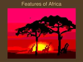
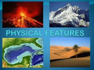
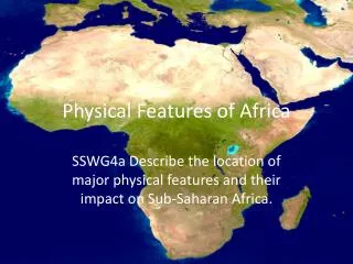
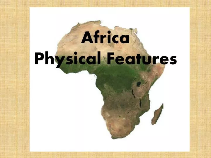
Africa Physical Features. Daily Objective. Students will explore the landforms and environment that makes Africa. North Africa. North Africa. North Africa covers from the Atlantic Ocean to the Red Sea . It is bordered to the north by the Mediterranean Sea . North Africa.

E N D
Daily Objective • Students will explore the landforms and environment that makes Africa.
North Africa • North Africa covers from the Atlantic Ocean to the Red Sea. It is bordered to the north by the Mediterranean Sea.
North Africa • Broad coastal plains are a main landform in North Africa
North Africa • The Atlas Mountains run parallel to the Mediterranean and Atlantic coasts.
The Sahara • The Sahara is the world’s largestdesert. • The Sahara extends across all of North Africa. This vast desert acts as a natural barrier between North Africa and the rest of the African continent.
Sahara • The climate of the Sahara has undergone cycles of wet and dry periods over thousands of years. • During some of these wet periods the desert was able to support grasslands and abundant animal life.
Sahara • Today most of the Sahara is a barren expanse of rock and sand. • The desert covers about 3.5 million square miles of land. It roughly is the size of the entire United States. • In basins, seas of shifting sands called ergs form.
Sahara • In other areas, wind blows the sand and dust away, leaving a gravel-covered plain. • This is called areg.
The Nile • The Nile river flows through Egypt into the Mediterranean. This means that it flows to the north. • Water from the river and the Nile Delta supports crops and other vegetation, creating a fertile green strip across Egypt.
The Nile • In 1960 the Aswan High Dam was completed on the upper Nile. It allowed a year round supply of water for irrigation, effectively opening new areas to farming. • The negative is that the dam blocks the yearly floods that used to fertilize the Nile Delta region of Egypt.
West and Central Africa • Plains and low hills mix with rainforest to make up the landscape of West and Central Africa.
The Congo Basin • The Congo Basin is a huge, wet tropical lowland in Central Africa. It is the second largest rainforest. • The Congo River drains this region.
East Africa • The Serengeti Plain • This is where most of the typical African wildlife would be found.
East Africa • East Africa’s landscape has been formed from tectonic processes. This resulted in the formation of huge rift valleys. • The Great Rift Valley is a series of geological faults. These faults run from Mozambique to Southwest Asia.
East Africa • Mt. Kilimanjaro is located near the Tanzania-Kenya border. It is the most famous of the rift’s volcanoes. Even though Kilimanjaro is near the equator, it is so high that snow always caps its twin peaks; it is the highest mountain in Africa.
Ethiopian Highlands • The Ethiopian Highlands are the largest area of high elevation (5,000 ft). The highest peaks reaching near 15,000 feet above sea level. • The Ethiopian Highlands cover major parts of Ethiopia, Somalia, and Eritrea.
Southern Africa • A narrow coastal plain stretches along the southern Africa coastline. It is less than 100 miles wide in most places. • Inland from the coastal plain, a high plateau reaches more than 4,000 feet above sea level.
Drakensberg Escarpment • Drakensberg Escarpment (Dragon’s Mountain) is located in Southern Africa. • It is the tallest Mountain range in Southern Africa (11,420 Ft). • The Drakensberg was created through volcanic activity and the break up of Gondwanaland.
Kalahari Desert • The Kalahari Desert covers most of Botswana, Namibia, and South Africa. • The desert receives between 3-7.5 inches of rain each year. • The area used to house many different species of wildlife. It now does not have near as many as it once did.
The Namib is a coastal desert in southern Africa. The name Namib is of Nama origin and means "vast place". Namib Desert
Sources http://www.admin.uio.no/fa/felles/countries/africa/images/Africa%20Satellite%20small.jpg http://www.izea.net/images/africa.gif http://travel.nationalgeographic.com/places/images/photos/photo_lg_egypt.jpg http://exploringafrica.matrix.msu.edu/images/subsaharan.jpg http://www.yannarthusbertrand2.org/index2.php?option=com_datsogallery&func=wmark&oid=315 http://www.fas.org/irp/imint/docs/rst/Sect2/atlas_w.jpg http://www.worldatlas.com/webimage/countrys/afnewlnd.gif http://www.celsias.com/media/uploads/admin/lonepalmsaharadesert.jpg http://www.mrdowling.com/images/604nile.jpg http://www.bibleplaces.com/images/Sunset_over_Nile_from_Luxor,_dg_042001.jpg http://img91.imageshack.us/i/verdurect9.jpg/ http://www.arm.gov/images/cms/ARM_niameylandscape-400x315.jpg http://www.freewebs.com/worldtravle/tanzania_serengeti_acacia_.jpg http://www.indianoceanworldcentre.com/images/research/africa_map.gif http://www.imagesoftheworld.com/volcanoes/volcanoespics/mapafricaphysicalrift.gif http://www.happytellus.com/img/kilimanjaro/mt-kilimanjaro-1_5814.jpg http://vivakenyasafaris.com/photshop/mt%20kilimanjaro.jpg http://s3.hubimg.com/u/1552334_f496.jpg http://noveldestinations.files.wordpress.com/2009/10/victoria-falls-21.jpg http://www.watchmojo.com/blogs/images/waterfall.jpg maion.com http://www.serasphere.net/Pics/Southern%20Africa%20map.gif http://www.roadlesstravelled.com.au/blogimg/sand-dune%2045-sossusvlei-namib-desert-namibia.jpg