Download
1 / 16
170 likes | 269 Views
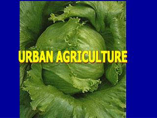
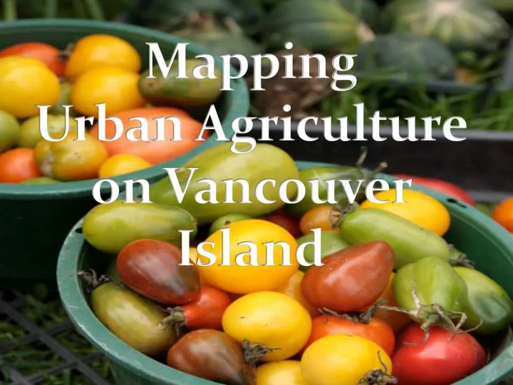
Mapping Urban Agriculture on Vancouver Island . Importance of Urban Agriculture.

E N D
Importance of Urban Agriculture An Urban Food System is one in which food production, processing, distribution, consumption and disposal of end products are integrated to enhance the environmental, economic, social and nutritional health of a particular community and place. Garret, S. and G. Feenstra, 1999.
Victoria and Vancouver Island The city of Victoria is supportive of “the concept of urban agriculture as a valuable community resource and will work to collaborate the community, neighboring municipalities and Capital Region District to support and encourage Urban Agriculture where possible” (Urban Agriculture Resolution)
Diggable Cities • Used GIS to map the city of Portland • Determined the available public land • Found 24 suitable sites, and highlighted 11 of these sites, 5 of which matched the criteria for community gardens, large scale urban agriculture farms, and market gardens
Cultivating the Commons: Oakland Mapping Case • Used GIS to create an inventory of publicly owned lands • These lands were then categorized into the various ownerships (from municipal level to Federal level) • They mapped over 10,000 acres of available public land (1/3 of Oakland’s total land) • After this, they used satellite imagery to see which open space could be used for agriculture
Oakland Cont. • They excluded developed areas, where buildings, roads, and playing fields existed • Each site was classified by size ranging from 1/4 acre up to 5 acres • Classified each parcel by ground cover (soil, grass, hard surface, dense vegetation)
Results • Out of the 1,201 acres of available land: • More than 1/3 were small parcels (less than ¼ acre), another 1/3 were from ¼-1 acre. • These are recommended to be used as community gardens and market gardens • The final 1/3 of land (between 1-5 acres) would be suitable for larger scale urban farms or large scale markets • Site profiles were created for 9 potential sites ranging in size and location
Farming Concrete • A citizen science project in NYC that is mapping how much food is already being grown within the city • “We at ___ Community Garden grew ___ pounds of food in ____ square feet, which is worth $___, served approximately ___ people, and prevented approximately __ pounds of greenhouse gases from entering the atmosphere.”
Recommendations for Vancouver Island • Build regional support to create an official mandate for urban agriculture practices on Vancouver Island • Overall mapping of potential agricultural lands (public and private) • Interactive mapping of existing and future urban agricultural practices • Create an Island wide initiative that connects the existing practices to encourage the expansion and utilization of UA within the island communities • Attribute a dollar value to the food being produced within UA farms and Community gardens