Download
1 / 33
330 likes | 334 Views
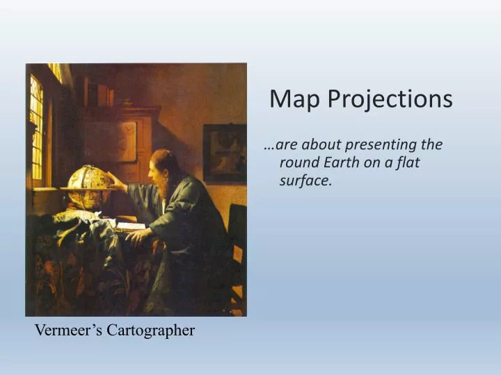
Map Projections. …are about presenting the round Earth on a flat surface. Vermeer’s Cartographer. What is a map projection?. A projection is a way to make a flat representation of the Earth. The only accurate representation of the earth is a globe.

E N D
Map Projections …are about presenting the round Earth on a flat surface. Vermeer’s Cartographer
What is a map projection? • A projection is a way to make a flat representation of the Earth
The only accurate representation of the earth is a globe. Only a globe preserves the map qualities of area, shape, direction, and distance.
Why are all map projections distorted? • All map projections must distort size, shape, distance, or direction. Watch the following video to find out why: http://goo.gl/oxC3v
Why do we use maps vs. globes? Brainstorm advantages that maps have over globes and write them on the board.
Distortions • Every map MUST and DO have distortions that result from making a 2D representation of a 3D sphere.
Types of Distortions • Shape: the shape is wrong • Area: the size is wrong • Distance: distance between places is wrong • Direction: direction is wrong (north/south aren’t the top and bottom of the map, east/west aren’t to the sides)
Types of Map Projections There are three main types of map projections: • Cylindrical/Mercator • Conic • Plane/Planar/Polar/Azimuthal
For Mercator projections, please know the following: • visual recognition • accuracies • distortions • uses
Visual Recogintion At what angle to lines of latitude and longitude intersect on a Mercator/cylindrical projection?
Accuracy / Distortions Compare the size of landmasses on the Mercator/cylindrical projection on the left with the Robinson projection on the right to answer the following questions. 1. Which landmasses appear much larger on the cylindrical projection than they actually are? 2. Which landmasses on the cylindrical projection appear to be accurate in size?
Accuracy A C D What direction would you travel to get from ‘A’ to ‘B’? What direction would you travel to get from ‘C’ to ‘D’? Does direction appear to be accurate on a Mercator Projection? B
Uses Watch the following video to see a common use of cylindrical/Mercator projections: http://goo.gl/obRzv
Video of cylindrical/Mercator projection • http://goo.gl/AE5bR
For Conic projections, please know the following: • visual recognition • accuracy • uses
Watch this: http://goo.gl/rJKp4 Answer these: What visual clue is covered that will help you recognize a conic projection? (visual recognition) What parts of the world do conic projections show accurately? (accuracy/uses) What is distorted, size or shape? (distortions)
For Planar/Polar/Azimuthal projections, please know the following: • visual recognition • uses
Accuracy • Planar projections are accurate at the point the projection touches the map
Distortions: Shape distorted at edge of projection.
Uses:Great Circle Routes • The line created when you cut the globe in half connecting two points
Uses: • used by pilots because great circle routes appear as straight lines.
Compromise Projections What do you think a compromise projection is? Winkle Triple Robinson Projection
For Gall-Peters projections, please know the following: • visual recognition • Why is considered politically correct?
Gall-Peters Projection Compare the Gall-Peters(left) to the cylindrical projection(right). • Both projections have latitude & longitude at right angles. What differences do you see between the shape/size of landmasses. • Why is the Gall-Peters projection called the “politically correct” projection?
Equal Area Map • area (size) is correct but other properties are distorted
Conformal Map • shape is correct but other properties are distorted
VI. The Big Idea A. All map projections have distortions. B. Each projection has its own advantages and disadvantages depending on the purpose of the map.
Summary Video http://goo.gl/TG8XM