Download
1 / 17
170 likes | 292 Views
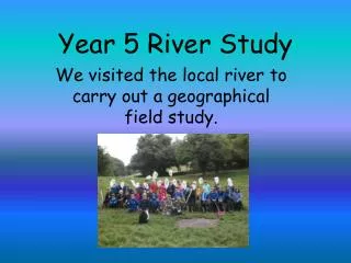
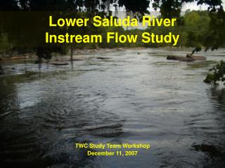
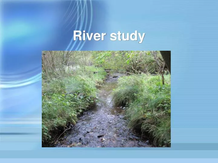
River study. Introduction. Rivers usually follow three stages: the upper, middle and lower courses. Each stage has its typical features. The upper course usually is steeper, with fast-flowing water and features of erosion.

E N D
Introduction • Rivers usually follow three stages: the upper, middle and lower courses. • Each stage has its typical features. • The upper course usually is steeper, with fast-flowing water and features of erosion. • This assignment aims to see if the upper course of the Boghall Burn follows this pattern.
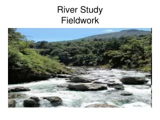
Location • The river I have chosen to study is the Boghall Burn. • It is located in the Pentland Hills between Caerketton Hill and Woodhouselee Hill.
River study Does the Boghall Burn follow the typical pattern of a river in its upper course?
Sample points Point 1 • I selected four points along the burn which were easy to get to. • I took measurements at each of these points. Point 4 Point 3 Point 2
Sources of information Measuring the river (a) Width – used a tape measure (b) Depth – used a metre stick
Measuring the river (c) Speed – used a flow meter (d) Gradient – used a clinometer
Measuring the river (e) Size of stones – used a dial caliper
Findings (LB = left bank, M = middle, RB = right bank)
Point 2 Faster flow at a small rapid.
Point 3 Slower flow at a small pool.
Most of the rocks were smooth and rounded by the water. • Larger rocks were found further upstream.
The gradient increased further upstream. • The middle of the river tended to be deeper and have the faster flowing water. • The depth and speed did not follow a pattern downstream. • Point 2 had the fastest flow of water at a small rapid. • Point 3 was a deeper pool on a flatter ledge where the water was much slower. • Rocks varied in size – smaller rocks were found near the rapid.
Speed of the river This graph shows that the middle of the river has the fastest flow but there is no link between speed and distance upstream.
Point 2 Point 1 Even in a small section of this river differences can be seen in the speed and width.
Conclusion • The Boghall Burn shows many characteristics of a river in its upper course: • narrow • follows a fairly straight course • no real meanders • some rapids • large boulders. • These characteristics do not necessarily follow a regular pattern downstream as different rock types affect the course of the river.