Download
1 / 17
180 likes | 325 Views
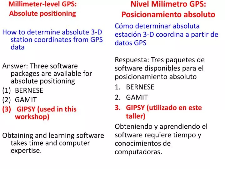
Nivel Milímetro GPS: Posicionamiento absoluto. Millimeter-level GPS: Absolute positioning. Cómo determinar absoluta estación 3-D coordina a partir de datos GPS Respuesta: Tres paquetes de software disponibles para el posicionamiento absoluto BERNESE GAMIT GIPSY (utilizado en este taller)

E N D
Nivel Milímetro GPS: Posicionamiento absoluto Millimeter-level GPS: Absolute positioning Cómo determinar absoluta estación 3-D coordina a partir de datos GPSRespuesta: Tres paquetes de software disponibles para el posicionamiento absoluto BERNESE GAMIT GIPSY (utilizado en este taller) Obteniendo y aprendiendo el software requiere tiempo y conocimientos de computadoras. How to determine absolute 3-D station coordinates from GPS data Answer: Three software packages are available for absolute positioning • BERNESE • GAMIT • GIPSY (used in this workshop) Obtaining and learning software takes time and computer expertise.
Procesamiento basado en Web-FREE automatizado de archivos RINEX GPS - Posicionamiento absoluto FREE Web-based automated processing of GPS RINEX files - Absolute positioning apps.gdgps.net - NASA Jet PropulsionLaboratory de procesamiento automatizado w / GIPSY (estática y cinemática)ga.gov.au / geodesia / sgc / wwwgps- AUSPOS - australiana Geociencia (estática solamente)sopac.ucsd.edu / procesamiento - software Scripps SOPAC SCOUT w / GAMIT (estática solamente)ngs.noaa.gov / OPUS - Servicio Geodésico Nacional (estática solamente) apps.gdgps.net – NASA Jet Propulsion Laboratory automated processing w/GIPSY (static & kinematic) ga.gov.au/geodesy/sgc/wwwgps- AUSPOS – Australian Geoscience (static only) sopac.ucsd.edu/processing – Scripps SOPAC SCOUT software w/GAMIT (static only) ngs.noaa.gov/OPUS – National Geodetic Survey (static only)
Rango de la fase L1 =distancesatellite-to-GPSVerdadera rango+ λ1N1polarización de fase desconocida+ c*(dTsat – dTrec) desplazamiento en relojes de los satélites y receptores+ dtropretraso vapor de agua troposférico– dionionosfera retraso electrón libre+ dmultipathdmultipathretardo multitrayectoErrores en d (L1) medida de la gama mostrada por Range from L1 phase = distancesatellite-to-GPSthe true range + λ1N1unknown phase bias + c*(dTsat – dTrec) offset in satellite & receiver clocks + dtroptropospheric water vapor delay – dionionospheric free electron delay + dmultipathantenna multipath delay Errors in d(L1) range measurement shown by
Diagrama de flujo para el software GIPSY Flow diagram for GIPSY software Parameter estimation Apply models for ocean loading, satellites, Earth tides, troposphere, etc. Aplicar modelos para la carga del océano, los satélites, las mareas de la Tierra, la troposfera, etc Postprocessing
GPS-nivel Milímetro: ¿Funciona? Millimeter-level GPS: Does it work? Volcano reference station – El Salvador Daily Latitude estimates – GIPSY – 365 days Estación de referencia Volcán - El SalvadorEstimaciones Latitud Diaria - GIPSY - 365 días
GPS-nivel Milímetro: ¿Funciona? Millimeter-level GPS: Does it work? Volcano reference station – El Salvador Daily Elevation estimates – GIPSY – 365 days Estación de referencia Volcán - El SalvadorEstimaciones Elevaciones Diaria - GIPSY - 365 días
Retardo de vapor de agua troposférico (Estimaciones GIPSY parámetros distintos de la ubicación del sitio) Tropospheric water vapor delay (GIPSY estimates parameters other than site location) GPS signal delay from water vapor (millimeters) Retardo de la señal GPS del vapor de agua (milímetros)
Nivel Milímetro GPS: Posicionamiento absoluto Millimeter-level GPS: Absolute positioning North (mm) East (mm) 1997 2009
GPS-nivel Milímetro: GPS continua norteamericana Millimeter-level GPS: North American continuous GPS
Movimientos de las placas globales - solución UW-Madison - 2/2009 Global plate motions – UW-Madison solution – 2/2009
Precise Posicionamiento absoluto: Ejercicio GIPSY • Exercise #1 – Process GPS data to find a 3-D station location • Exercise #2 – Process TIME SERIES of GPS station days to find a GPS station velocity • Exercise #3 – Process 2nd time series to find relative movement between GPS stations • Exercise #4 – Interpret results in a geologic North, East, Down coordinate system Precise Absolute Positioning: GIPSY Exercise • Ejercicio # 1 - Los datos de proceso GPS para encontrar una ubicación de la estación 3-D • Ejercicio # 2 - SERIE TEMPORAL Proceso de días de estaciones GPS para encontrar una velocidad de la estación GPS • Ejercicio # 3 - Proceso segunda serie de tiempo para encontrar el movimiento relativo entre las estaciones de GPS • Ejercicio # 4 - Interpretar los resultados en una geológico Norte, Este, Abajo sistema de coordenadas
Latitude is λ Longitude is Φ Latitud es λLongitud es Φ
rearth = 6373 km rx = | r | * cos(λ) * cos(Φ) ry = | r | * cos(λ) * sin(Φ) rz = | r | * sin(λ) r = | r | * [ cos(λ) * cos(Φ) i+cos(λ) * sin(Φ) j + sin(λ) k ]
What are λ and Φ in terms of rx, ry, and rz? ¿Qué son y λ Φ en términos de rx, ry, and rz? rx = | r | * cos(λ) * cos(Φ) ry = | r | * cos(λ) * sin(Φ) rz = | r | * sin(λ)
What are λ and Φ in terms of rx, ry, and rz? ¿Qué son y λ Φ en términos de rx, ry, and rz? λ = sin-1( rz / r ) Φ = tan-1( ry / rx ) rx = | r | * cos(λ) * cos(Φ) ry = | r | * cos(λ) * sin(Φ) rz = | r | * sin(λ)
XYZ Cartesian often referred to as global coordinate system.In geology, we frequently use a local coordinate system consisting of local north, east, and down.How can we transform between the two ? XYZ cartesiana a veces referido a sistema de coordenadas globales. En geología, frecuentemente usamos un sistema de coordenadas local que consiste de local Norte, Este, y abajo. ¿Cómo podemos transformar entre los dos?