Download
1 / 13
140 likes | 275 Views
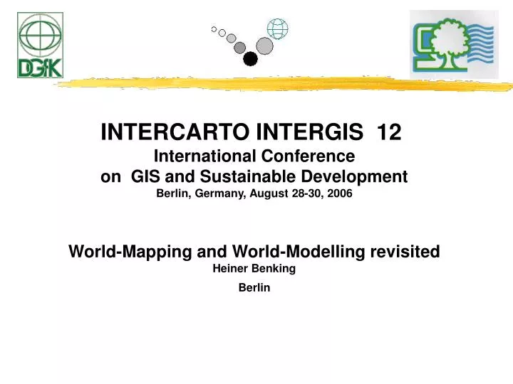
INTERCARTO INTERGIS 12 International Conference on GIS and Sustainable Development Berlin, Germany, August 28-30, 2006 World-Mapping and World-Modelling revisited Heiner Benking Berlin. Please note: this presentation is done „ad hoc“ or „stand-by“ with only 2 days notice

E N D
INTERCARTO INTERGIS 12 International Conference on GIS and Sustainable Development Berlin, Germany, August 28-30, 2006 World-Mapping and World-Modelling revisited Heiner Benking Berlin
Please note: this presentation is done „ad hoc“ or „stand-by“ with only 2 days notice as the conference chair invited the presenter to fill an empty „slot“ and summarise the ICSU - CODATA CONFERENCE CONTRIBUTIONS done last year, where the FUTURE OF MULTIMEDIA was (is) not published (yet)!! The presentation included the above contributions but focussed on the World MAP and MODEL aspects with a strong focus on Geoinformatics and Sustainability. So please follow the links to SUPER SIGNS and Superstructures, KNOWMAP Spacial-Spatial and the Systems Encyclopedia entries about mental models and a cognitive panorama, which were sections which are not included in the following slides, but were part of the actual presentation and essential to get a bigger picture of what was presented. Please also note ! that is presentation focussed and is dedicated (see slides) to 1. Carl Ritter, 2. Foucault, 3. Charles Francois, and last not least Herbert Stachowiak. so please fasten seatbelts - and check out the following slides.
Multimedia Where do we go from here ? International CODATA Symposium on Multimedia in Science and Technology - MIST 2005 - European Academy, Berlin, Germany September 19-20, 2005 International ICSU-CODATA Symposium Berlin, ICSU - International Council of Scientific Unions, CODATA- Committee on Data for Science and Technology Using Maps and Models, SuperSigns and SuperStructures Heiner Benking
International Symposium on the Generalization of Information International ICSU-CODATA Symposium Berlin, Sept 14-16, 2005 ICSU - International Council of Scientific Unions CODATA- Committee on Data for Science and Technology in cooperation with International Cartographic Association ICA and the Physikalisch-Technische Bundesanstalt, Berlin, PTB. Granularity, Topicality, and Generalization of Information Reflections about maps and models, orienting generalizations and their possible pragmatic and ethical implications and challenges Heiner Benking
EWOC 04, Toronto, October 2004 SYSTEMS ENCYCLOPEDIA Vol. 22, no. 1 (October 2004) Official Newsletter of the International Federation of Systems Research SECOND EDITION OF THE INTERNATIONAL ENCYCLOPEDIA OF SYSTEMS AND CYBERNETICS Charles François (editor), KG Saur Verlag-Thomson, München, 2004 Updated and augmented in more than 740 pages, 1700 articles, some of them with figures, tables and diagrams, and 1500 bibliographical references.
Model Thinking & Pragmatics Herbert Stachowiak 1965 - 2004 Studium Generale, Springer, 1965 Scientific Thought, UNESCO 1972 Allgemeine Modelltheorie, Springer 1973 General Model Theory Modelle und Modelldenken im Unterricht Klinkhardt 1980 Modell und Kunst, 1981 Pragmatics Pragmatik, Vol. I-V Meiner 1986-96 s.a.: Quergeist
CARL RITTER WORLD MAPPING and WORLD MODELLING revisited This invited “ad-hoc presentation is dedicated to Carl Ritter (1779 - 1859), who taught 40 years here in Berlin at the Humboldt University. The father of systematic, general and comparative geography and made Geography leave the “box” of a specialist, elitist science operating just with lists and tableaus and made Geography reach the people. With strong focus on education, with the a Pestalozzi, he helped to look into geography as a vehicle to understanding the issues in their context and frame of reference. Muster pattern method beyond just physical but as general and comparative geography historical element, contextual, situational, looking into frame of reference !
EWOC 04, Toronto, October 2004 by Heiner Benking, Berlin Tagore-Einstein Council, Open-Forum, PNW,… Towards one possible global embodied Covenant:Models, - not just Systems, Signs, Words and Images A work report towards developing shared models for broader and contextual understanding and a concert of orienting generalizations for helping to overcome dualistic traps and include specialist and generalistic cultural activities.Heiner Benking Independent Facilitator and Futurist
Konrad Lorenz Institutefor Evolution and Cognition ResearchAltenberg Workshops 1996/97 30. January 1997, Austria, Worldview Compositions and Cognitive Spaces - a necessary evolutionary stepby Heiner Benking Pls. see: „Extensions“ and excentric positionality, „workplaces of mind“ and Jean Gebser: „Only the „concrete“ can beintegrated“.
"man schafft einen anderen Raum, einen anderen wirklichen Raum, der so vollkommen, so sorgfältig, so wohlgeordnet ist wie der unsrige ungeordnet, mißraten und wirr ist." (Foucault 1967) http://benking.de/cube/http://deepworlds.org/http://benking.de/faw-newsletter.htm Foucault, Michel (orig. 1967 / German 1991) Andere Räume, In: Barck, Gente; Paris, Richter (eds), Aisthesis. Wahrnehmung heute oder Perspektiven einer anderen Ästhetik, Leipzig, Reclam, pp 34-46, s.a.:Wissenswelten:Gedanken zur Organisation und Orientierung, in Foucault, http://benking.de/foucault.html
Global Sharing and Coping Connecting Worlds, Scales, Media, & Forms/Structures
MAPS & MODELS and COSMOLOGIES TODAY & IN ANTIQUITY More: http://www.mse.berkeley.edu/faculty/defontaine/flatworlds.html and http://in-betweener.org/flatworlds/ 2 D and 3 D maps and models today and in history See also Behaim-Globe and Waldseemüller Map and Globe-segmentes. See US National Visualization and Analytics Center http://nvac.pnl.gov/ for the state of the arts.
2 D or 3 D -- Google Maps or Google Earth - Flatworlds or Deepworlds A challenge or another place to show ignorance and negligence and miss possible chances for systems thinking and new learning - for seeing with „more (old and new) eyes“ and multiple perspectives in shared frames of references – see also Melbourne 1994. Please compare the relative area size of Greenland and Australia right and left and on the slides of the Map-Literacy Pages, where we look into Whole Earth Literacy and issues connceted to truth and fidelity. also ´Global Learning` (upcoming Nov.2006) and the text around EARTH - ILLITERACY, IGNORANCE and NEGLIGENCE. Pls see also my BLOG featuring the UNESCO – Google `Literacy campaign` from the Frankfurt book-fair 2006.