Download
1 / 24
240 likes | 498 Views
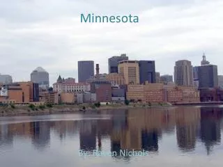
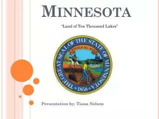
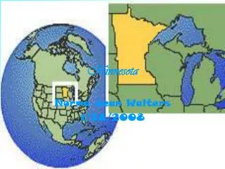
Minnesota Hydrography. Land of 10,000 Lakes (or so). Presented by:. Mark Olsen Minnesota Pollution Control Agency 520 Lafayette Road N. St. Paul, MN 55155 mark.olsen@pca.state.mn.us. A Matter of Scale. 11,842 Lakes > 10 acres Over 14,000 when including smaller lakes

E N D
Minnesota Hydrography Land of 10,000 Lakes (or so) Presented by: Mark Olsen Minnesota Pollution Control Agency 520 Lafayette Road N. St. Paul, MN 55155 mark.olsen@pca.state.mn.us
A Matter of Scale • 11,842 Lakes > 10 acres • Over 14,000 when including smaller lakes • 92,000 miles of stream/river
Water quality is highest priority concern Environmental Issues Malformed frogs Nitrates in Groundwater Fish kills and consumption advisories Recreational usage Hypoxia Use of local data Access to data and information Growing Public Interest/Concern
Minnesota’s Governor’sCouncil on Geographic Information Hydrography Committee • Inventory and state coordination • Define the MN hydrography framework • Coordination with Federal activities
Inventory and State Coordination • Legacy systems • 25 years of history • Defacto standards • Distributed authority • Relies on voluntary cooperation
Basic elements Definition Delineation Identification Association of events Define MN Framework Basic features • Watershed • Basin • Watercourse • Hydrologic Point of Interest
The Need to Share • Watershed approach • Environmental issues ignore political boundaries • Shared responsibility and authority
The Need to Share • Watershed approach • Environmental issues ignore political boundaries • Shared responsibility and authority • Example: Lakefinder • Single point of access for DNR, MPCA, and MDH data
MPCA Activities • Hydrography dataset is framework for integration • Standards “Perch Creek: T.116, 117, 118, R.39” • Monitoring (STORET) • Permitted dischargers • Assessments (305(b), 303(d)) • Funding activities
Reach Indexing Tool Why We Like It: • No cost • Ease of use • Activities associated to real surface water features - not dependent on locational accuracy or scale
Flow validated data needed to populate missing lake reach IDs
Reach Indexed 305(b) Assessment
Higher Resolution Data • DNR “Level 1” Hydro - 24K • DLG with lake shorelines from NWI • MPCA funded USGS to research conversion to NHD • Integration of Wisconsin data • Ready now to add ID’s and names • NHD delineation rules • Technical coordination with USGS