Download
1 / 17
170 likes | 297 Views
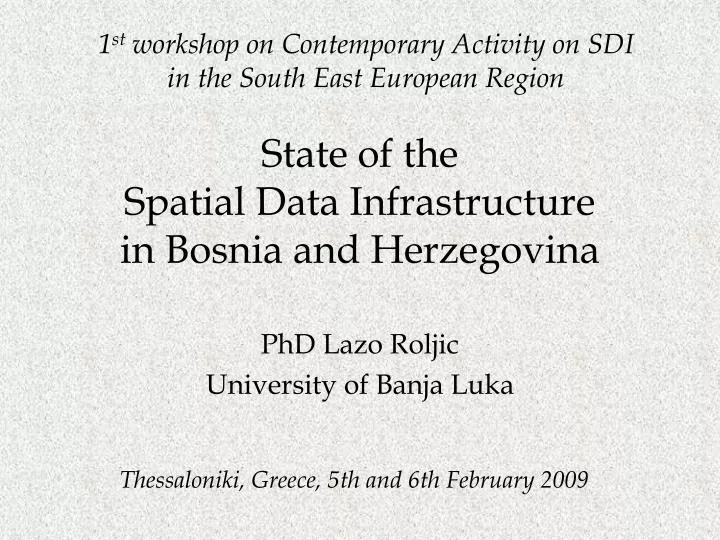
1 st workshop on Contemporary Activity on SDI in the South East European Region. State of the Spatial Data Infrastructure in Bosnia and Herzegovina. PhD Lazo Roljic University of Banja Luka. Thessaloniki, Greece, 5th and 6th February 2009. Spatial Data Infrastru c tur e (SDI) .

E N D
1st workshop on Contemporary Activity on SDI in the South East European Region State of the Spatial Data Infrastructure in Bosnia and Herzegovina PhD Lazo Roljic University of Banja Luka Thessaloniki, Greece, 5th and 6th February 2009
Spatial Data Infrastructure (SDI) organized, purposeful and effective dealing with and advancement of: measuring gathering - storing processing maintaining - distributing - accessing, and using georeferencial data. is set of: • Data sources • Technologies • Norms • Measures • Institutional frameworks • Organisationalguides • Policies • Finanances, and • Human resources, which ensure... On the basis of such a definition, it is possible to give a graphical presentation of SDI system (Figure 1):
Requirements Valuable information Employees e F c i n a n Requirements Valuable information End Users
Geospatial data State of SDI components in B&H Each country deals with SDI within its potentials in order to: improve its economy satisfice social needs of citizens, bring to environmental welfare, and satisfice intereses of all stakeholders, and nowadays regional and global interests. Under that term we primary understood the data of land cadastre operate as a record of position, form, area, culture, manner of exploitation and owner of each individual parcel. Cadastral parcel is basic and most important spatial element of ownership book keeping, and physical and urbanistic planing. Then come objects and condominium elements of space(buildings, apartments, business spaces, etc.)
Institutional Framework • According to its Constitution,Bosnia and Herzegovina consists of two Entities, the Federation of Bosnia and Herzegovina (FB&H) and the Republic of Srpska (RS). Spatially, the entities cover the total area in the proportion of 51%:49%. • FBiH is divided into ten (10) Cantons, each of them has its own government. • The authorities are mainly divided among these levels. Therefore SDI activities and tasks are also a matter of the entity geodetic administration offices. • Administration for Geodetic and Real Property Affairsof the Federation of Bosnia and Herzegovina-Sarajevohttp://www.fgu.com.ba/and • Republic Administration for Geodetic and Real Property Affairs of Republika Srpska-Banja Luka, http://www.rgurs.org/
Dimensions: 52 million hectares 3,8 million people 7 million registered parceles (for about 90% of which a new survey is made) Keeping land cadastre books is under the authority of primary (RS) and municipal courts (FBiH). Within the cadastre sector, there are: entity geodetic offices (2), cantonal offices (10), cadastre offices of local units (47 in RS) and cadastre service offices (15 separated units in RS). The cadastre office in Brčko District is administratively independent.
Entitie`s land administration are main factors of creating the future of SDI. They are starters of initiatives on introducing and implementation of new technologies, as well as applying equipment and procedures by preparing maps and building digital and cadastral databases.
Judical Regules and Norms: In BiH is in use a number of laws and sets of rulebooks by which the matter of spatial data gathering, storing and distributing is regulated. Main Laws in the Entity of RS: • The Law on Survey and Immovable Property Cadastre (2006) • The Law on Spatial Arrangement (2002) • The Law on Land Registry Books(2003) Main Laws in the Entity of FB&H: • The Law on Survey and Immovable Property Cadastre (1984) • The Law on Survey and Land Cadastre (1978) • The Law on Cadastre of Communal Installations (1977) • The Law on Geodetical Activity(1994) • The Law on Land Registry Books(2003)
Data Bases Technologies for data collection Tehnologies of satellite photos, images and pictures, photogrammetry, measuring by GPS, digital geodetic instruments, total stations, but also theodolites, leveling tools and othertraditional geodeticinstrumentsandaccessories, give a very good possibility for measuring and gathering spatially oriented data. There are a lot of databases with georeferenced data, but a problem arises if they need different technologies for accessing the databases, different formats, different data models, protocols of data transfers, butthe data are of different quality. That infrastructure problem should be resolved by using particular norms and standards.
Technology of archive document keeping Technologies for gathering, analysis and display of solutions They are in GIS as a set of integrated parts of computer tools and users’ program support for the purpose of gathering, storage, testing, management, analyzing and displaying spatial data in order to solve problems of spatial planning. eDMS - Electronic Document Management System, implies hardware, software, and work procedures which provide electronic form of the documents, their safe storage with the possibility of copying and also efficient availability from the base to a display, easy interchange among participants of a business process and easy printing if necessary.
Technologies of data distribution Financial affairs The work of geodetic offices in B&H are financed from the RS budget in the RS, and from the Federation and cantonal budgets in the FB&H. Another source of funding is paying fees for using cadastre data and services. The funds collected through the fees are invested into the annual program work realization of geodetic offices. Contemporary ordering of spatial data from users and their delivering to the users is carried out throughcomputer networks, especially through theInternet and intranet. In B&H the distribution and delivering of spatial oriented data is still done fully manually (100%) through delivering the documents and data in person to users. The same thing is with ordering spatial data.
Basic products and services • Cadastre, technical part: Maintaining and updating the existing cadastre plans and data, measuring services and issuing certificates for administrative and court procedures, digitalization of plans and data. • Cadastre, the Department of Property and Legal Affairs: Giving data on a property state (its size, class, owner), issuing municipal and other decisions on the right of property or usage, flat ownership registration, providing documents for court decisions. The status of electronic land registar applaying
Basic products and services (cont.) Users of land-registry and cadastre services Users who need the services of land-registry and cadastre offices can be divided into three groups: Owners and property users; Authorities Others. • Land-registry: keeping records, processing registration requests, issuing cerficates, entering the existing data into the electronic database. • Spatial planning: Making and keeping development plans, issuing building permits and other kinds of approvals. Owners and property usersare the main category of private users of such services. So far, they personally came to get the data and by doing so they burdened the administrative process. Since 2008, lawyers and licensed geodesists have been allowed to do so.
Authorities: • Ministry of finance as a client and user of the fiscal cadastre, including mass valorization of fixed property in order to collect real-estate taxes; • Ministry of transport and communications, for the purpose of development and management of public transport and communication infrastructure; • Ministry of agriculture, water management and forestry, in order to implement the sector policy and manage the natural resources; • Ministry of environmental design, as a base for planning activities and environmental protecting. • System of justice as a decision maker in the matters of heritage and land lawsuits; • Privatization agencies in preparing privatization of a state-owned company; • Agencies for foreign investment promotion; collecting information on fixed properties which is suitable for investments.; • Cantonal administration offices which need registration data to plan and manage state-owned properties; • Municipalities; in order to manage fixed properties which belong to local authorities; for development of public institutions and issuing building permits;
Other users: • Real estate agents • Real estate market agencies • Law Firms and Attorneys • Banks and other finacial institutions, by giving mortgage loans, • Insurance companies, by giving insurance on immovable real estate, • Communal enterprises, such as water-suppliers, electrical power distributors, gas suppliers, etc. Users of land-registry and cadastre services
A summary of the current situation of SDI in B&H • The majority of cadastre measuring was carried out in the 19 century, however a great deal of those plans (80%) has still been in the official usage because they are the only link with the land-registry. • Yet,the cadastre and land registry records in the 80% of the country are not up-to-date and do not reflect the real situation on the terrain (problem of reliability). So, the quality of spatial data is different in different area. There are huge differences between the situations shown in the land-registry books and cadastre. • Topographic maps are not systematically updated. They improvement is necessary, as in order to satisfy the growing demands of the users, as well in order to take advantage of the possibilities offered by new technologies in gathering, processing and representation of spatial data (GIS) • Most of the records are still in the paper form (lack of clearness, slow access to information).
Current Situation (cont.) • There is no system for electronic requesting of data which would provide gathering, managing and dealing with such request for the benefit of their users. • Digitalization of cadastre records as a phase in creating a modern, digital cadastre has been carried out in a great deal for land-registries, while cadastre plans are still in analogue form. • The terrible specificity in B&H is the fact that its huge area is under mines. Consequences • Many investments are prevented or slowed down • Wild land market development • Non-realistic spatial planning and land management.