Download
1 / 5
50 likes | 157 Views
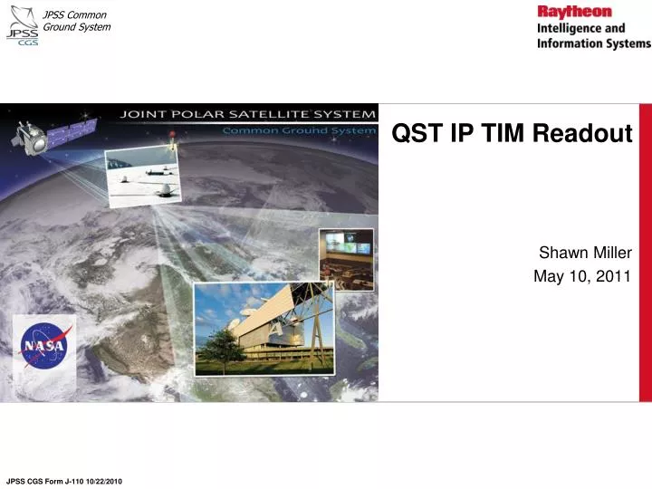
QST IP TIM Readout. Shawn Miller May 10, 2011. JPSS CGS Form J-110 10/22/2010. Introduction. A TIM was held on April 22, 2011, to discuss the Operations Concept ( OpsCon ) for updating three important gridded products: Quarterly Surface Type (QST) Gridded Intermediate Product (GIP)

E N D
QST IP TIM Readout Shawn Miller May 10, 2011 JPSS CGS Form J-110 10/22/2010
Introduction • A TIM was held on April 22, 2011, to discuss the Operations Concept (OpsCon) for updating three important gridded products: • Quarterly Surface Type (QST) Gridded Intermediate Product (GIP) • QST-Land Water Mask (QST-LWM) GIP • Annual Min/Max Vegetation Index (AMMVI) GIP • These three GIPs are granulated by IDPS onto the VIIRS swath to support the generation of other IDPS products • The documented expectation is for these three GIPs to be treated as static ancillary inputs, generated by Algorithm Support Functions (ASFs) • Gridding and Granulation (G/G) and VIIRS GIP Operational Algorithm Document (OAD), D39303, Rev C, March 17, 2010 • The purpose of the TIM was to ensure we have no gaps in functionality during operations • Based on this TIM and a followup meeting with NGAS on May 5, it appears we have no gaps in functionality
QST IP, QST-LWM IP, and Annual Min/Max NDVI: Consumers • The QST IP is used by: • VIIRS Surface Type EDR (to set base surface type) • VIIRS Land Surface Temperature EDR (graceful degradation only) • OMPS Total Column (TC) SDR (to set the sunglint flag) • CrIS SDR (to set the Land Fraction for CrIMSS products) • NOTE: CrIMSS is a KPP • The QST-LWM IP is used by: • VIIRS Fire Mask IP • VIIRS Cloud Mask IP • NOTE: these are at the front of the VIIRS Chain • Also used to create the Master Land Index for tiled products • The AMMVI IP is used by the VIIRS Surface Type EDR (to set vegetation fraction)
ASF Requirements • The ASFs have to perform the following: • Ingest the final MSVB GIP • Run a Decision Tree (with the MSVB GIP as input) to create/update the QST GIP • Merge the QST GIP with the MODIS LWM to create/update the QST-LWM GIP • Generate the AMMVI GIP from the MSVB GIP • Write the QST GIP, QST-LWM GIP, and AMMVI GIP to the specified formats, for delivery to IDPS as static ancillary data updates • The planned ASFs (some delivered already; the rest to be delivered by Feb 2012) cover all of these items • Additionally, someone has to *train* the Decision Tree that generates the QST GIP • This requires a year of data to be accumulated; JPSS Ground Project and NOAA STAR can determine the best path forward