Download
1 / 2
20 likes | 159 Views
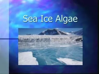
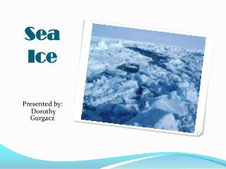
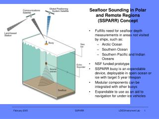
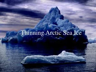
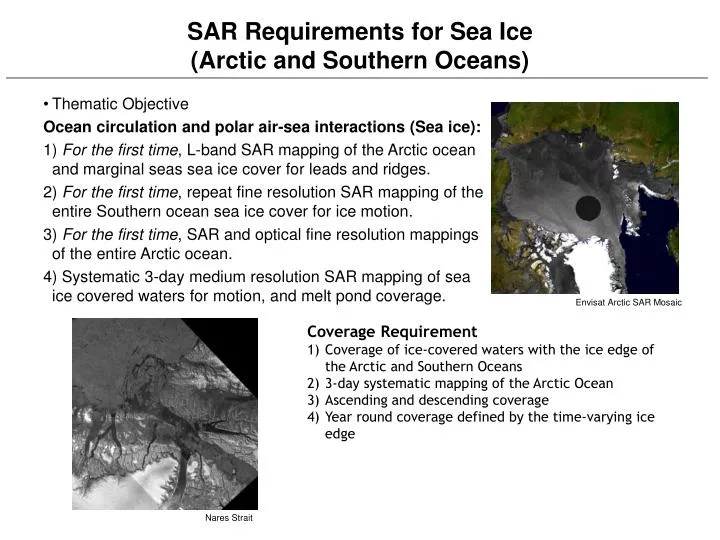
SAR Requirements for Sea Ice (Arctic and Southern Oceans). Thematic Objective Ocean circulation and polar air-sea interactions (Sea ice): 1) For the first time , L-band SAR mapping of the Arctic ocean and marginal seas sea ice cover for leads and ridges.

E N D
SAR Requirements for Sea Ice(Arctic and Southern Oceans) • Thematic Objective Ocean circulation and polar air-sea interactions (Sea ice): 1) For the first time, L-band SAR mapping of the Arctic ocean and marginal seas sea ice cover for leads and ridges. 2) For the first time, repeat fine resolution SAR mapping of the entire Southern ocean sea ice cover for ice motion. 3) For the first time, SAR and optical fine resolution mappings of the entire Arctic ocean. 4) Systematic 3-day medium resolution SAR mapping of sea ice covered waters for motion, and melt pond coverage. Envisat Arctic SAR Mosaic • Coverage Requirement • Coverage of ice-covered waters with the ice edge of the Arctic and Southern Oceans • 3-day systematic mapping of the Arctic Ocean • Ascending and descending coverage • Year round coverage defined by the time-varying ice edge Nares Strait
SAR Requirements for Sea Ice(Arctic and Southern Oceans) Sensor Requirements • C-band Wide-swath C-band ScanSAR for systematic 3-day mapping of ice-covered oceans. Short time-separation (daily) repeat coverage of the Lincoln Sea, Nares Strait and Fram Strait at C-band. • L-Band L-band quad-pol SAR coverage of the Arctic and Southern Ocean sea ice. L-band ScanSAR coverage of the sea ice cover. • Optical coverage Optical coverage of the Arctic and Southern Oceans sea ice. RGPS ice deformation Optical coverage