Download
1 / 57
570 likes | 576 Views
Hazards Planning and Risk Management. Lecture No. 18 & 19 Natural Hazards Spring 2018. US – Pakistan Center for Advanced Studies in Water. Natural Hazards. What are they? Where do they occur? Why do they occur? Consequences of their occurrence?. Learning Objective. 2.

E N D
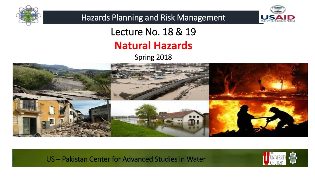
Hazards Planning and Risk Management Lecture No. 18 & 19 Natural Hazards Spring 2018 US – Pakistan Center for Advanced Studies in Water
Natural Hazards What are they? Where do they occur? Why do they occur? Consequences of their occurrence? Learning Objective 2 E. J. Peters 20110
Reading Material • Dr. Cees Westen (ITC) Guide Book 01 & 03 (pdf provided at wordpress) • Earthquakes: Plate Tectonics and Earthquake Hazards By Timothy Kusky, Timothy M. Kusky (link provided at wordpress) • National Geographic ‘Plate Tectonics’ http://science.nationalgeographic.com/science/earth/the-dynamic-earth/plate-tectonics-article/
All communities are vulnerable to disasters In every person’s lifetime, at least one natural hazard will likely have some impact on their life. E. J. Peters 2010
Hazard Prediction • When, where, why, and how natural hazards occur? • The first step in minimizing hazards’ impacts • To design forecasting and early warning systems • Speed of onset plays an important role in hazard prediction
Speed of Onset • The time of onset is the lapse of time from the occurrence of the first precursor to the intensity peak of the hazardous event. • Sudden onset:little or no warning, minimal time to prepare • Example: earthquake, tsunami, cyclone, volcano, etc. • Slow onset:adverse event slow to develop; • first the situation develops; • the second level is an emergency; • the third level is a disaster. • Example: drought, civil strife, epidemic, etc.
Time of onset of a flood is represented by the delay between the rainfall and the discharge peaks
Where, What Disaster may occur? • Earthquakes occur along active tectonic plate margins • Volcanoes occur along subduction zones (e.g. around the margins of the Pacific plate, so-called ‘Ring of Fire’) • Tsunamis occur in the neighborhood of active plate margins, but also at a considerable distance from these as tsunami waves can travel over large distances. • Tropical cyclones (in North America called ‘hurricanes’ and in Asia called ‘typhoons’) occur in particular zones indicated with green areas in the map (map on next slide). • Landslides occur in hilly and mountainous regions.
Domino Effect One type of hazard can trigger a domino effect of disasters
Disasters and Development • Disasters and development are closely linked • Disasters can both • destroy development initiatives and • create development opportunities • Development schemes can both • increase vulnerability and • decrease vulnerability
Disasters in Developing Countries According to UN Disaster Relief Organization (UNDRO) coordinator, approximately 90% of all reported natural disasters occur in the Third World countries Sudden disasters may cause chronic sufferings in developing countries Creeping hazards are also of special relevance for developing countries
Disasters in Developed Countries Earthquakes in Italy and Japan Hurricanes and tornados in USA Approximately 5% of Japan’s national budget is being invested in disaster preparedness Most regions are less prone because of better geographical locations and climatological conditions Less constrained in human and material sources to employ methods for disaster prevention and mitigation
Disaster Events Databases EM-DAT database: www.em-dat.be Glidenumber by Asian Disaster Reduction Center (ADRC): www.glidenumber.net UNDP website: http://gridca.grid.unep.ch/undp/ others
The Problems with databases? Today key problems with disaster data remain the lack of standardized collection methodologies and definitions (UNISDR and CRED) For natural disasters during the last decade, data on deaths are missing in about 10 per cent of the disasters; around 20 per cent lack information on the total number of people affected, and about 70 percent do not cover economic damages.
Pakistan Scenario • Geography • The country is geographically divided into three areas: • Northern highlands, • Indus river plains and • Balochistan plateau • Climate • Pakistan is a land of great climatic contrast • Low rainfall and extreme variations in rainfall • 59.3% lands with less than 200 mm annual rainfall. • Southern slopes of the Himalayas and the sub mountainous : rainfall from 760 to 1270 mm.
Natural Hazards • The range of natural hazards in Pakistan • Earthquake • Cyclone • Drought • Floods • Landslide • Human Induced Disasters
Vulnerability Index Source: NDMA
Earthquake Sudden, rapid shaking of the earth’s crust that is caused by the breaking and shifting of rock beneath the earth’s surface Seismicity is not seasonal or climate dependent and can therefore can occur at any time of the year Over one billion people worldwide live in seismic zones (Coppola 2011) As earthquake strength increases, its likelihood of occurrence decreases
Earthquakes Magnitudes greater than 5.0 that occurred between 1965 and 1995 Ninety percent of all earthquakes occur along plate margins
Plates Movement As the giant plates move along their borders, tremendous energies are unleashed resulting in tremors that transform Earth’s surface No single plate can move without affecting others
Plate Boundaries • Divergent Boundaries: • pulling apart • Convergent Boundaries: • pulling together • Transform Boundaries: • sliding past each other
Convergent Boundaries • Oceanic-Continental Convergence; • Oceanic-Oceanic Convergence; and • Continental-Continental Convergence
Birth of the majestic Himalayan mountain range Result of the collision between the Indian and Eurasian Plates
Intraplate Earthquakes Triple Plate Junction • Location where 3 plates and 3 plate boundaries meet in a point Earthquakes that occur in the stable portions of continents that are not near plate boundaries
Earthquake Hazard Risk • Earthquake hazard risk depends on 1. Population density 2. Construction standards (building codes) 3. Emergency preparedness
Impacts – consequences? • Collapse of buildings and bridges • Disruptions in gas, electric, and phone service; • Trigger • landslides • avalanches • flash floods • fires • huge destructive ocean waves (tsunamis)
Measurement - Intensity • Intensity • It is the measure in terms of degrees of damage to the surface and the effects on humans • This is a qualitative value determined by physical observations of the earthquake’s impact • Measured using the Modified Mercalli Intensity (MMI) Scale • It ranges from level I to level XII • For each level, the damages to buildings, bridges, roads, and the impact on human beings are described
Measurement: Magnitude Magnitude is the relative amount of energy released by an earthquake Magnitude is translated on a numerical scale, called the Richter scale (logarithm scale of 1 – 10) Magnitude can be measured by seismograph Major earthquakes usually are between 6.0 and 9.1 on Richter scale Each increase of one unit on the Richter scale represents a 31-fold increase in the intensity of the earthquake (USGS) Moment magnitude scale (Mw), a more accurate measure of the earthquake size, is replacing Richter scale
Focus and Epicenter • Focus is the point on the fault at which the first movement or break occurred • Shallow Focus Earthquake (focal depth less than 100 Km) • Deep Focus Earthquake (focal depth = 100 – 700 Km) • Epicenter is the point on the surface directly above the focus • Shaking is most severe near the epicenter and drops off away from the epicenter
Aftershocks Smaller earthquakes occurring after a main earthquake
Seismic Detection and Monitoring Earthquakes are sudden, no-notice events despite scientists ’ best efforts to predict when they will occur. Seismic sensing technology is effective at measuring and tracking seismic activity But it is still far from accurately predicting a major seismic event with any degree of accuracy
Earthquake Early Warning System • When an Earthquake occurs, energy radiates in all direction in the form of • P Waves • S Waves • Surface Waves • S waves and Surface waves are most destructive • P waves have much smaller energy (not threatening) • P waves are faster and precedes S & Surface waves and therefore can be used in developing Early Warning Systems
The Use Of Animals In Earthquake Prediction • Unusual Animal Behavior • Electromechanic changes occurring prior to the occurrence of a large earthquake may be sensed by certain animals and filtered, then instinctively interpreted • Effort are in duplicating the sensory responses of animals to construct equally responsive instruments that can record or monitor these precursory changes • Look at • Tsunami Page of Dr. George P.C. http://www.drgeorgepc.com/EarthquakePredictionChina.html
The building has tilted as a result of column failure & has partly damaged the nearby building (Taiwan 1999). Damage to Columns due to Large Openings
Protection Measures Earthquake does not kill people - its badly design buildings killkill!!! To prevent earthquake hazard to become a disaster, building design should be given consideration for seismic resistant design features
Earthquakes In Pakistan • No part of Pakistan is completely safe from earthquakes (UNDP) • Experiences EQs of moderate to severe in intensity • Pakistan seismic activity mostly associated with active plates • Pakistan region lies at the junction of Indian, Eurasian and Arabian plate boundaries • The entire Makran coast is an active subduction zone with a relatively high seismicity rate • 1935: major earthquake in Quetta, Balochistan that destroyed the entire city • 8th of October 2005: Pakistan’s Black Day • tens of thousands of families lost an entire generation • Announced as the Disaster Awareness Day by NDMA