Download
1 / 14
140 likes | 146 Views
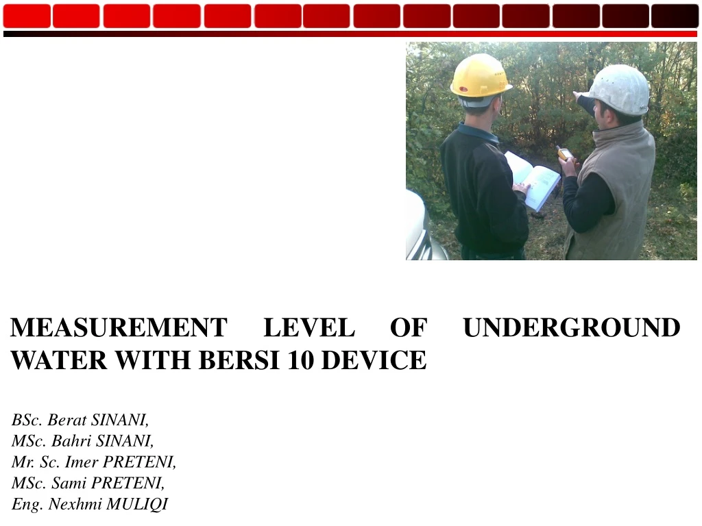
MEASUREMENT LEVEL OF UNDERGROUND WATER W ITH BER S I 10 DEVICE. BSc. Berat SINANI, MSc. Bahri SINANI, Mr. Sc. Imer PRETENI, MSc. Sami PRETENI, Eng. Nexhmi MULIQI. Introduction.

E N D
MEASUREMENT LEVEL OF UNDERGROUND WATER WITH BERSI 10 DEVICE BSc. Berat SINANI, MSc. Bahri SINANI, Mr. Sc. Imer PRETENI, MSc. Sami PRETENI, Eng. Nexhmi MULIQI
Introduction Today, measurement of the level of underground waters in hydrogeological aspect, is a very important issue, an essential issue, therefore digitalizing this function is more than necessary. So, based on the advancing technology, such a device is a great help, a device that measures the level of the underground waters with a high accuracy, and shows many other parameters which are very important for studying a particular hydrogeological region. After a long research work, individual and group work, I achieved successfully to create the project “BerSi 10”, on which project worked as a team together with experts of hydrogeological field, computer science and professional programmers. • The BerSi 10 device name is abbreviation of the Berat Sinani constructed during the year 2010, • The BerSi device is comprised of these parts: • System BerSi 10 • The server and client BerSi 10 • Installation of the software for server and client (Drivers) • Software BerSi 10
System of BerSi 10? BerSi 10 is a device that measures the level of underground waters as well as many other hydrogeological parameters, radius of the effect, hydrolines, hydraulic gradients, distance between boreholes. This device supports server-client system, all probes are set up in terrain and have software like client, these probes make measurement and send data to server called BerSi 10 server, he accept data and save into database server . This is presented by animation.
Starting BerSi 10 After installation has been successfully, we must plug-in BerSi 10 device into USB port, computer will recognize automatically BerSi 10 device, if you have a problem with driver, you also can install driver setup from your BerProm memory that is integrated into BerSi 10 device. In the right picture are two different pictures. The left picture will present when BerSi 10 is unplugged. The right picture we have plugged is BerSi 10 device and now we can start BerSi 10 by clicking the first button.
Inserting Data This is main form and very important, this is BerSi 10, where we can add data completely about our research. In these form we have three frames, all these frames are for adding data for our project and the project can named at the top of this form. The first frame contain generally data about project like Name of Project, dates, boreholes etc, the second frame contain data for each hole with these coordinates, and the third frames contain details data for each boreholes. And after adding data we must create profile by clicking Create Profile at the top of form.
BerSi 10 supporting tools Geology In this part of BerSi 10, we can make everything about geology of our field, we can draw manually all profiles, we can add point of our drilling, all these we can add by using toolbar in the left of Geology form. After we have draw and finished about geology of this field we can save in different format like JPG or into polygon files that is saved in BerSi 10 file. Flow of underground water BerSi 10 is especially device for measurement and analysis underground water, based on this, this part is very important and everything here is, based on this we have here many tools of underground water, we can use menu to determine what kind of function we want to create and will enable especially toolbar about this function.
BerSi 10 supporting tools Camera This part require especially hardware, we must have specially Graphics card that support TV input cause we can view analog camera that support in very long distance in this case in vertical direction. We can make save as video file or image file exactly 35 image per second or we can make in differently format.
Satellite View BerSi 10 contain many tabs, in which we have many geological and hydrogeological functions some of this we will see now. In this part of BerSi we can view our study field from satellite view, in which we can use all Google Earth services.
BerSi 10 supporting tools Measurement with BerSi 10 This part of BerSi 10 are connected directly with BerSi 10 device, if the device is unplugged then we cant open this form neither we can start measurement from this part. Here we have three parts, first part contain data directly accepted from device, part two contain phases and boreholes and part three are charts presented about this field.
BerSi 10 supporting tools Measurement with BerSi 10 After we have done measure in four boreholes in two phases, also we have measurements with classically methods to compare the results between BerSi 10 and classically methods. To verify the results of BerSi 10 we have done measurements with other methods. For this purpose, we have done measurements with two methods in the field, and we have achieved accurate results with BerSi 10. Measurements with BerSi 10 Measurements with classical methods
Conclusion With BerSi 10 we have done two measurements in four boreholes in two phases and we achieved accurate results, to achieve this result and to verify we have done measurement with two methods, with BerSi 10 and classically methods. BerSi 10 device nowadays is getting improved, this device is user friendly set up, which also supports server-client system. Applying computer sciences in hydrogeology is highly important, and creating device such a device enables easy practical work in hydrogeological research. BerSi 10 device have been tested and monitored by experts of hydrogeology, who have stated that the results achieved with BerSi 10 are very accurate.