Download
1 / 13
130 likes | 135 Views
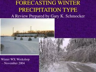
Forecasting Winter Precipitation. Outline. Precipitation Type Rain, Snow, Sleet, Freezing Rain Snow Amounts Heavy snow band Snow’s liquid equivalent. Precipitation Types. Rain Snow Passage through any warm layer thicker than ~600 ft. will melt (no return to crystal form) Sleet

E N D
Outline • Precipitation Type • Rain, Snow, Sleet, Freezing Rain • Snow Amounts • Heavy snow band • Snow’s liquid equivalent
Precipitation Types • Rain • Snow • Passage through any warm layer thicker than ~600 ft. will melt (no return to crystal form) • Sleet • Rain freezes before contact with surface • Freezing Rain • Rain freezes upon contact with surface
Method For Evaluating Precipitation Type • Determine if there will be any precipitation • Model surface forecasts • MOS QPF • If yes, then perform vertical analysis of forecast temperature • Skew-T / Stuve diagram
All Rain (melting layer at least 1200 ft. all the way to the ground)
Freezing Rain (freezing layer near surface not thick enough (need ~ 800 ft.)
Rain/Snow Mix • If there is a warm layer near the surface between 600-1200 ft. thick, some snow crystals will melt while others may not • Results in a rain/snow mixture
Another factor to consider • Beware of dry air near the surface • Precipitation will begin to fall from above and sublimate/evaporate before hitting the ground • Moistens lower atmosphere • Lowers temperature through evaporative cooling • Can drastically alter the temperature profile, and thus precipitation type
Forecasting Snow Amounts • Check model QPF • Average conversion is 10:1, e.g. every 1” or liquid water equates to 10” of snow • Must also factor in “wetness” of snow • Snow that accumulates at temperatures near freezing will have a lower ratio (~5-9:1) • Snow at very cold temperatures may have ratios as high as 30:1 • Lake effect snow – up to 100:1!!!
Rules of Thumb • 120-150 miles left of the surface low track • Along the track of the 700 mb and/or 500 mb low • Just north of the 164 height line at 200 mb • Between the -2°C and -5°C 850 mb temperature • Between the 534 and 540 1000-500 mb thickness contours • K Index values of 10-20 (instability measure) • Several others.......