Download
1 / 14
140 likes | 144 Views
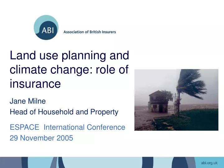
Land use planning and climate change: role of insurance. Jane Milne Head of Household and Property. ESPACE International Conference 29 November 2005. Changing costs of extreme weather. Costs doubling each decade Since 1990, $16 bn each year on average

E N D
Land use planning and climate change: role of insurance Jane Milne Head of Household and Property ESPACE International Conference 29 November 2005
Changing costs of extreme weather • Costs doubling each decade • Since 1990, $16 bn each year on average • 2004 was costliest year on record: Central European Flood - $40 bn • Hurricane Katrina 2005 - $40 – 60 bn • UK Floods: Autumn 2000, Boscastle, Carlisle, North Yorkshire
UK Flood Cover • UK is unusual in offering flood cover as a standard feature of household insurance • Typical premium is £320 per year • Average flood cost £15 – 30k • Only sustainable where flood risk is managed.
ABI Statement of Principles • Provide flood cover as standard feature under normal competitive market for those at 1.3% annual probability of flooding (1-in-75 yr) or less • Continue cover in areas where defences will be in place in next five years that reduce risk to 1.3% annual probability or less • Use best efforts, on a case-by-case basis, with existing policyholders where no defences are planned and risks are unacceptably high
ABI Project “Making Communities Sustainable” • Potential financial costs of flooding arising from additional development in the growth areas • Most effective approaches to manage the risk in coming decades
Land Use Planning Policy (PPG25) Key features of PPG25: • Sequential approach potentially powerful, but: • EA only consulted on half applications • 1-in-5 applications where EA sustains its objection are approved • Only half final decisions reported back to EA
Mapping Development Sites onto Flood Map Source: Environment Agency, NERC/CEH, UK Hydrographic Office, Ordnance Survey
Adaptation 1a. Floodplain Avoidance • Ashford, M11 and South Midlands - Between 86 - 97% losses removed due to effective planning (PPG25) -100% savings in some locations (Aylesbury, Bedford, Kettering) • Thames Gateway - Limited scope for floodplain avoidance - very low savings
Adaptation 1b. Sequential test behind defences • Ashford, M11 and South Midlands - Higher development density results in 90 - 100% savings in most locations • Thames Gateway - Increased savings for most areas (40 - 52%)
Adaptation 2. Reduce Vulnerability • Increasing development density = Decreased damages (up to 58%) • Greatest impact in ‘significant’ flood risk areas • Increased construction costs per home (30 - 50%) • Additional benefits at groundlevel (car parking etc.)
ABI Guidance - Strategic Planning for Flood Risk • Planners and developers should consider key flooding and development issues when carrying out an appropriate flood risk assessment for their development plan • Key considerations: • LOCATION OF NEW DEVELOPMENTS: sequential planning approach • DESIGN OF NEW FLOOD DEFENCES: standard of defence and tackling aggregation • TYPES OF HOMES: fully-certified resilient construction methods • SITE CONSIDERATIONS: sustainable drainage
Conclusions • Stronger planning system to avoid flood risk where possible, including clearer role for Environment Agency and allowance for climate change • Code for Sustainable Buildings should include resilience to climate change (but still better to avoid floodplain) http://www.abi.org.uk/housing