Download
1 / 13
150 likes | 173 Views
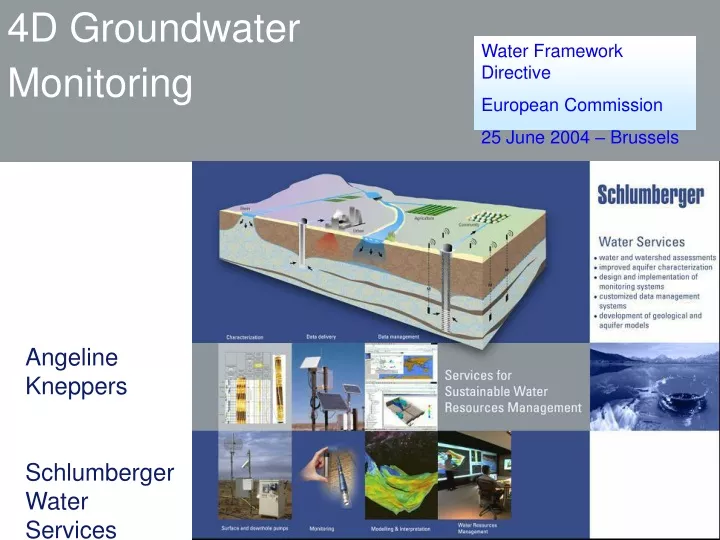
Water Framework Directive European Commission 25 June 2004 – Brussels. 4D Groundwater Monitoring. Angeline Kneppers Schlumberger Water Services June 2004. Overview. Introduction to the technology Projects Conclusions. Water Monitoring Program. Artificial recharge. Sea Water Intrusion.

E N D
Water Framework Directive European Commission 25 June 2004 – Brussels 4D Groundwater Monitoring Angeline Kneppers Schlumberger Water Services June 2004
Overview • Introduction to the technology • Projects • Conclusions
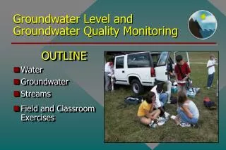
Water Monitoring Program Artificial recharge Sea Water Intrusion Contamination Divers Westbay Sentinel
Water Quality vs. Time Pressure Profile Pressure vs. Time Hydraulic Tests Permeability Profile Water Quality Profile Types of Data – Time lapse Data
Sacramento San Francisco Los Angeles San Diego Examples CALIFORNIA PACIFIC OCEAN Salinas Valley FORD ORD
Upper 180 Foot Aquifer Intermediate 180 Foot Aquitard 2 Lower 180 Foot 1 Aquifer 0.5 1000 2000 3000 4000 5000 6000 400 Foot Aquifer Case 1 - Environmental project 50 Dune Sand 0 0 - Valley Fill Deposits 8 - Elevation, m msl -50 8 - -100 0 - Paso Robles Fm. Aromas/ -150 Horizontal Scale, m General Groundwater E Flow Direction 0 100 200 300 After MACTEC E&C Carbon Tetrachloride Concentrations (µg/l) Chloride Concentrations (mg/l)
Benefits • High resolution monitoring is the key to understanding flow paths • Multiple zones monitoring provides clear 4D understanding of contaminant distribution • Discovered seawater intrusion at higher concentrations than previously recognized. • Discovered that seawater intrusion moved inland against expectations • Human activities generated vertical gradients much higher than expected. • Remediation is finally progressing
Santa Ana River 5 405 55 Pacific Ocean Case 2 - Groundwater Management
0 -150 -300 Elevation, m msl -450 -600 -750 -900 Groundwater Management
Benefits • High resolution 4D monitoring is the basis for improved modeling of the groundwater basin • The model is the basis for a long-term plan that includes maximizing the sustainable pumping capacity • OCWD believes that it can increase groundwater production from the present 440M m3/yr to over 600M m3/yr.
Conclusions • Today’s technology allows much improved characterization and monitoring of groundwater conditions but it is very rarely used • Better monitoring forms the basis of better management decisions – whether managing groundwater resources (recharge and production) or understanding, remediating, or avoiding contamination problems but again it is very rarely used. • We learn that the success of 4D monitoring depends on: • accurate and repeatable measurements representing groundwater properties changes • ability to measure against a baseline to analyze variations. • Willing to invest
Traditional ways www.slb.com/waterservices