Download
1 / 30
320 likes | 582 Views
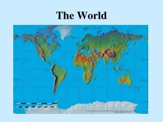
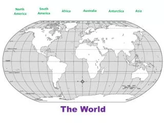
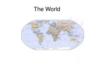
The World. Unit 1. How Geographers L ook at the W orld. Chapter 1. Exploring Geography. Chapter 1 – Section 1. Maps. What are the names of the continents and the oceans? What is the largest body of water on Earth? Which continents are located entirely above the Equator?

E N D
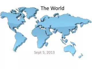
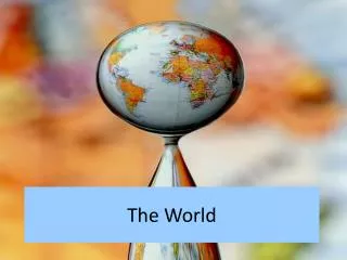
The World Unit 1
How Geographers Look at the World Chapter 1
Exploring Geography Chapter 1 – Section 1
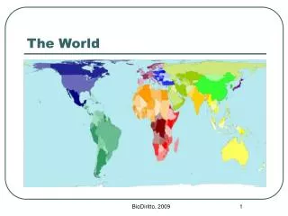
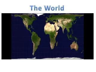
Maps • What are the names of the continents and the oceans? • What is the largest body of water on Earth? • Which continents are located entirely above the Equator? • Which large bodies of water border Asia? • On which continent is Brazil located?
What is Geography? It is the study of the earth’s physical features and the living things (humans, animals, and plants) that inhabit the planet Look at where these elements are located and how they relate to one another Why is this important?
Elements of Geography • Etymology (origin) of Geography: • Greek word geographia for “earth description” • Geographers may study volcanoes and why they erupt • They may also analyze a city’s location to climate, landscape, and available transportation • Why?
Geographers • Take into consideration: • The world in spatial terms (location) • Places and regions • Physical systems • Human systems • Environment and society • The uses of geography
The World in Spatial Terms • Location – specific place on the earth; this is a reference point in the same way dates are reference points for historians • How do geographers use location and what is the importance of it?
The World in Spatial Terms Absolute Location – the exact spot at which the place is found on the globe Tools to use: imaginary lines around the earth such as the Equator It also divides the the earth into hemispheres (northern and southern)
The World in Spatial Terms Prime Meridian – it also divides the earth into hemispheres known as the eastern & western hemispheres The Equator, Prime Meridian, and other lines of latitude/longitude create the grid system
The World in Spatial Terms What is the importance of a grid system? How do you describe a location using grid systems?
The World in Spatial Terms • Relative Location – location in relation to other places • Can you give an example? • Place – particular space with physical and human meaning; something about that location which makes it distinct • What is an example of a place? • Regions – areas united by specific factors; geographers usually group places into regions • What would you consider a region?
3 Types of Regions • Formal – uniform; it is defined by a common characteristic, perhaps something produced there • What are some examples? • Functional – central place and the surrounding area linked to it • Can you think of some functional regions? • Perceptual – defined by popular feelings and images rather than objective data • An example would be the “heartland” which is a central area where traditional values are more important
Physical Systems • Geographers very often analyze natural phenomena such as volcanoes, hurricanes, and floods • These all shape the earth’s surface and can have a great impact on Earth’s ecosystems • Ecosystems – a community of plants and animals that depend upon one another, and their surroundings, for survival
Human Systems • Geographers also observe how people settle the earth, form societies, and create permanent features • Movement – ongoing movement of people, goods, and ideas • This can occur during migration
Environment & Society • Human-Environment Interaction – the study of the interrelationship between people and their physical environment • The way people use their environment • How and why they have changed it • What consequences result from these changes
Effects • Sometimes humans can affect the environmental • Examples: • In other cases, the environment can affect human activities • Examples:
The Geographer’s Craft Chapter 1 – Section 2
Branches of Geography • To make their work easier, geographers divide their subject area into different branches • Two of the major ones are: Physical Geography and Human Geography
Branches of Geography • Physical Geography – focuses on the study of the earth’s physical features • Such as: climate, land, water, plants, and animal life • In terms of their relationships to one another and to humans • Human Geography – also known as cultural geography, is the study of human activities and their relationship to the cultural and physical environments • Such as: political, economic, and cultural factors (population density, urban development, economic production, and ethnicity)
Branches of Geography • Examples of how geography is further divided into smaller subject areas: • Meteorology: the study of weather and weather forecasting • Historical Geography: the study of places and human activities over time and the various geographic factors that have shaped them
Geographers at Work • Here are some methods which geographers use in their day-to-day work: • Direct observation • Mapping • Interviewing • Statistics • Technology
Direct Observation This comes in handy when studying the earth and the patterns of human activities that take place on the earth’s surface To do so, geographers can use aerial photos or satellite images to determine where the mineral deposits or freshwater sources are located Why might these be important?
Mapping • Maps are very fundamental for geographers • Cartographer – specialists who make and design maps and also involves the studying of maps/mapmaking • Sometimes it is easier to explain research findings visually (such as on a map) than it is in written text • How can maps come in handy?
Interviewing • Sometimes observations aren’t enough, therefore geographers must go out and interview people • A particular group of people are chosen and only a small part of that group is interviewed to reflect the entire population
Statistics • This method helps geographers simplify complex data and present them in a way that is more easily understood • What can statistics show?
Technology Just like any other professional, a geographer uses technology in their line of work Examples: satellites, computers, etc. Geographic Information Systems(GIS) – computer tools that process and organize data and satellite images with other pieces of information
Technology • How has technology changed the art of mapmaking? What is being done differently today than years before?