Download
1 / 17
170 likes | 187 Views
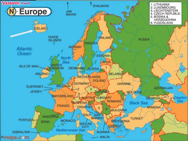
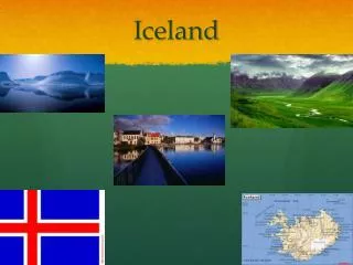
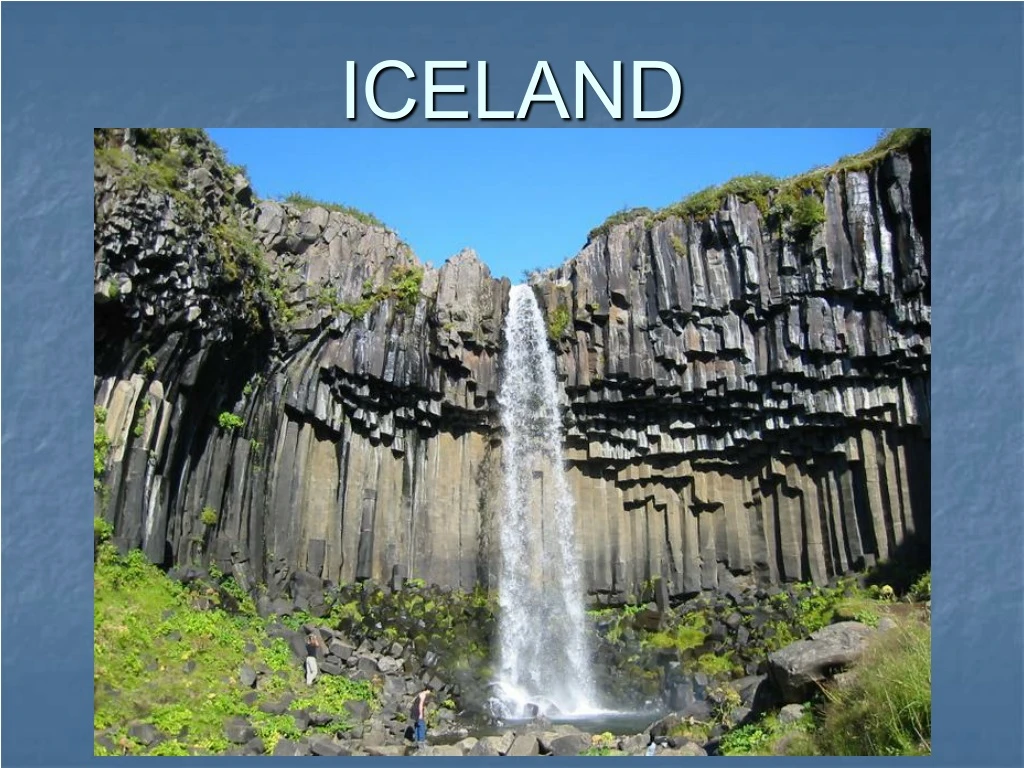
ICELAND. Divergent Plate Boundaries. Mid-Atlantic Ridge divides North American and Eurasian tectonic plates These tectonic plates are moving away from each other causing rift zones Magma rises from rift zones causing volcanism and earthquakes

E N D
Divergent Plate Boundaries • Mid-Atlantic Ridge divides North American and Eurasian tectonic plates • These tectonic plates are moving away from each other causing rift zones • Magma rises from rift zones causing volcanism and earthquakes • Iceland is growing about one inch per year as a result of seafloor spreading
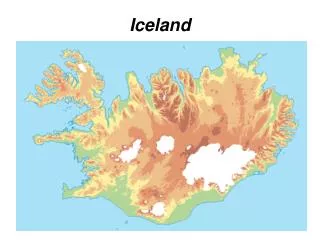
Geological History • Iceland is 20-25 million years old based on the time-span of active volcanism • Over 1/3 of Iceland’s 40,000 square miles is volcanically active • Iceland is a hotspot as it sits on a mantle plume with volcanic eruptions occurring about every 5-10 years • Iceland is built mostly of volcanic rocks, predominately basalts (Igneous Rocks)
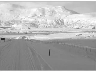
Land Of Fire & Ice • Iceland is far enough north to be covered by snow • The heat generated by the Mid-Atlantic Ridge keeps the country in a constant state of thaw
Major Volcanoes In Iceland • Krafla • Loki-Fogrufjoll • Grimsvotn (and Laki) • Hekla • Vatnafjoll • Katla • Vestmannaeyjar (Surtsey, Heimaey)
1973 Heimaey Eruption • Volcano started erupting January 23, 1973 • 1600 meter long fissure with early reports of 50-150 meter high glowing fountains • Eruptions ended June 26,1973 with a total eruption product volume of 250 million cubic meters • 417 homes destroyed and the remainder of the surrounding towns were hit with lava bombs and covered in ash • Icelanders sprayed sea water on the lava to try to slow and stop the movement
1783 Laki Eruption • Volcano started erupting June 8, 1783 after a week of earthquake activity • 15.5 mile long fissure opened with lava flows 25km long • Total estimated volume of produced lava was 3.6 cubic miles • Gases released slowed grass growth and killed farm animals • 7 months of eruptions caused crop failure • Famine kills 10,000 people reducing Iceland’s population by 20%
Positive Impacts Of Volcanic Eruptions • Dramatic scenery created by volcanic eruptions attract tourists • Lava and ash deposits provide valuable nutrients for soil
Positive Impacts Of Volcanic Eruptions • The high level of heat and activity inside Earth, close to a volcano, can create opportunities for geothermal energy
Negative Impacts OfVolcanic Eruptions • Fatalities • Lava flows and lahars (mudflows) can destroy settlements and clear areas of woodland or agriculture • Human and natural landscapes can be altered or destroyed
Volcano Monitoring • Hydrologic Monitoring – early flood warning for people downstream of an active volcano • Ground Deformation – monitors ground movements to help predict an eruption • Seismicity – measures earthquake activity; earthquake activity almost always increases before an eruption • Gas – monitors changes in the release of certain gases to provide eruption warnings • Remote Sensing – using satellites to monitor volcanoes by sensing electromagnetic energy from the surface of a volcano
References • http://homepage.mac.com/rmshultz/blogwavestudio/LH20050212162819/LHA20050703211002/ • http://earthobservatory.nasa.gov/Newsroom/NewImages/images.php3?img_id=16443 • http://en.wikipedia.org/wiki/Geography_of_Iceland • http://www.iceland.is/country-and-nature/nature/Geology/ • http://en.wikipedia.org/wiki/Divergent_boundary • http://en.wikipedia.org/wiki/Mid-Atlantic_Ridge • http://en.wikipedia.org/wiki/Rift • http://en.wikipedia.org/wiki/Iceland_hotspot • http://vulcan.wr.usgs.gov/Volcanoes/Iceland/Maps/map_iceland_volcanoes.html • http://vulcan.wr.usgs.gov/Volcanoes/Iceland/description_iceland_volcanics.html • http://notendur.centrum.is/~edda/heimaey1.html • http://antwrp.gsfc.nasa.gov/apod/ap020121.html • http://volcanoes.usgs.gov/About/What/Monitor/monitor.html • http://www.bbc.co.uk/schools/gcsebitesize/geography/platetectonics/volcanoesrev5.shtml • http://pubs.usgs.gov/publications/text/understanding.html#anchor15039288 • http://www.platetectonics.com/oceanfloors/iceland.asp • http://quakeinfo.ucsd.edu/~gabi/erth15/lecture09/volcanoes.html • http://volcano.und.nodak.edu/vwdocs/Gases/laki.html • http://tlc.uwaterloo.ca/is303a/design/s2001/Volcano/Heimaey/Heimaey_7_Location.htm
Group Members Christina Saylor Brian Duncan