Download
1 / 24
240 likes | 243 Views
This workshop focused on the monitoring and network status of the OzNet stations located in the Murrumbidgee Basin. It included discussions on the CS615 and CS616 monitoring stations, soil moisture calibration, and data availability.

E N D
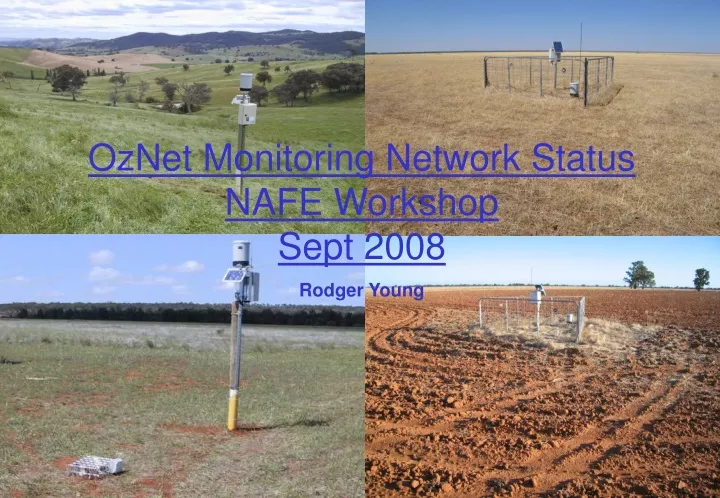
OzNet Monitoring Network StatusNAFE WorkshopSept 2008Rodger Young
MurrumbidgeeCatchment Topography ( 13 sites)
Original CS615 Monitoring Stations The original 18 - CS615 field monitoring stations were installed in spring 2001. The sites were chosen to cover the whole catchment with intensive study groupings of 5 sites in each of the Adelong and Kyeamba Creek sub-catchments.
Later CS616 Monitoring StationsHydroGRACE An additional 20 - CS616 field monitoring stations were installed in spring 2004. These were located in the Yanco and Kyeamba Creek districts and arranged approximately within a 60km x 60km study area.
CS615 Measurement Validation • Method Used • Temperature sensors installed to correct • for temperature at each depth. • TDR sensors were installed • as an aid to CS615 calibration. • Gravimetric sampling done to develop • the calibration relationship.
CS615 General Soil Moisture Calibration Relationship(developed by Western et al. 2000) q = 0.4 Nb N = (P25 – P0.0) / (P0.4 - P0.0) Where the temperature corrected (to 25oC) period measurement of the sensor is obtained from : P25= [Pobs – o(T – 25)] / [ 1 + s(T – 25)] Where s is the slope and o is the offset of the temperature correction function for each site : CT = sP25 + o
CS615 General Soil Moisture The figure shows a plot of the optimal normalised period Nagainst measured soil moisture from all sites. From the high R2 value of 0.95 and low RMS error of 2.51%v/v, the fit is acceptable.
CS616 Measurement Validation • Method Used • Temperature sensors were installed • to allow for temperature correction. • TDR sensors were installed as an • aid to CS616 calibration. • - Gravimetric sampling done to develop • the calibration relationship. • - Bulk sampling for laboratory • calibration study after gravimetric • samples proved difficult to obtain.
CS616 General Soil Moisture Calibration Relationship (originally developed by Rüdiger et al. 2007) • = aN for N <= g • = ga + [(0.4 - ga)/(1 - g)b] (N – g)b for N > g Where Nis the normalised period of the CS616 given by: N=(P25 – P0.0)/(P0.4-P0.0) Three Approaches Used to Develop Calibration Parameters: P0.4 P0.0a b g(further development by Yeoh et al. 2008) • General calibration equation approach • Soil texture approach • Proximity based approach
CS616 Soil Moisture Calibration Summary • The typical root mean squared error for these three approaches, when applied to available soil moisture data, are estimated at: • site specific optimization 2.1%v/v • 2) soil texture based 5.1%v/v • 3) proximity based 3.1%v/v • However, due to the limited amount of data for development and verification of the proximity method, and an assessment with depth integrated field TDR data, it is recommended that the texture based calibration be used in preference to the proximity based calibration. The specific calibration parameters have been developed for each site.
CS616 Soil Moisture vsNormalised Period Nafter optimising for P0.4
OzNet Web Site Data Availabilityhttp://www.oznet.unimelb.edu.au • Currently - calibrated soil moisture data is available from • site installation (2001 or 2004) to end of Spring 2006. • Subsequent data - Summer 2006 to end of Autumn 2008 • should be available by October 2008. • Eddy correlation raw data – available for 2005 only. • Ground water data not available yet. • Bureau of Meteorology forcing data
Bureau of Meteorology Data Forcing Data Available : Rainfall Wind Speed Air Temperature Short Wave Radiation Specific Humidity Long Wave Radiation
Canberra Soil Suction ….thankyou!