Download
1 / 14
140 likes | 231 Views
Notes on the USGS Gauge on the Illinois River near Watts, Oklahoma, and Lake Francis.

E N D
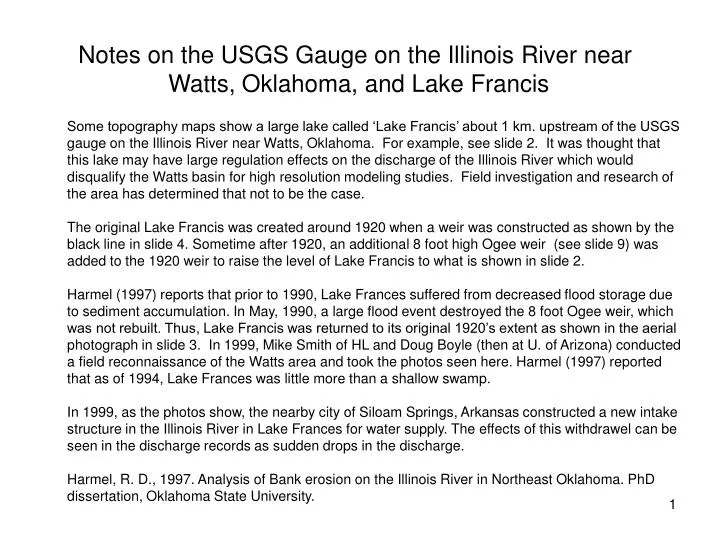
Notes on the USGS Gauge on the Illinois River near Watts, Oklahoma, and Lake Francis Some topography maps show a large lake called ‘Lake Francis’ about 1 km. upstream of the USGS gauge on the Illinois River near Watts, Oklahoma. For example, see slide 2. It was thought that this lake may have large regulation effects on the discharge of the Illinois River which would disqualify the Watts basin for high resolution modeling studies. Field investigation and research of the area has determined that not to be the case. The original Lake Francis was created around 1920 when a weir was constructed as shown by the black line in slide 4. Sometime after 1920, an additional 8 foot high Ogee weir (see slide 9) was added to the 1920 weir to raise the level of Lake Francis to what is shown in slide 2. Harmel (1997) reports that prior to 1990, Lake Frances suffered from decreased flood storage due to sediment accumulation. In May, 1990, a large flood event destroyed the 8 foot Ogee weir, which was not rebuilt. Thus, Lake Francis was returned to its original 1920’s extent as shown in the aerial photograph in slide 3. In 1999, Mike Smith of HL and Doug Boyle (then at U. of Arizona) conducted a field reconnaissance of the Watts area and took the photos seen here. Harmel (1997) reported that as of 1994, Lake Frances was little more than a shallow swamp. In 1999, as the photos show, the nearby city of Siloam Springs, Arkansas constructed a new intake structure in the Illinois River in Lake Frances for water supply. The effects of this withdrawel can be seen in the discharge records as sudden drops in the discharge. Harmel, R. D., 1997. Analysis of Bank erosion on the Illinois River in Northeast Oklahoma. PhD dissertation, Oklahoma State University.
USGS gauge on Illinois River, north of Watts, Ok. Rt 59 USGS gauge on Illinois River at Siloam Springs, Arkansas USGS Topo map showing pre-1990 extent of Lake Francis upstream of gauge On Illinois River north of Watts, OK. Also shown is the location of the USGS gauge at Siloam Springs, AR, to be used in DMIP 2.
Arkansas Oklahoma Illinois River USGS gauge Aerial photo of Illinois River and current extent of Lake Francis.
Schematic of Current Extent of Lake Francis and Location of Photos USGS Gauge j d e x i h flow Illinois River b c a weir Pre-1990 extent of Lake Francis shown on topo map in slide 1. g Intake for water supply For Siloam Springs, OK Rt. 59 f North Watts Current extent of Lake Francis
Bridge on Rt. 59 near Watts, OK. At USGS Gage. Photo at point a in schematic.
USGS gauge at Rt 59 near Watts, OK. Upstream is to right. Point b in schematic.
Illinois River Illinois River Near Watts, OK. Right bank looking upstream at point c in schematic.
Illinois River near Watts, Ok. Looking upstream at weir forming current Lake Francis. Point d in schematic.
Additional 8 ft. weir Illinois River near Watts, Ok. Ruins of weir added after 1920 to form Lake Francis. A storm destroyed the additional weir in 1990, reducing the size of the Lake. Current Lake Francis is at right. Point e in schematic
Lake Francis at water supply intake for Siloam Springs, Ar. (under construction). Photo is looking upstream from point f in schematic.
weir Looking downstream from water supply intake at weir forming Lake Francis. Point g in schematic.
Illinois River above USGS gauge in Watts, OK. , looking downstream from weir Forming Lake Francis. Photo at point h in schematic
Composite photo of Illinois River flowing over weir at Lake Francis. Photo at point i in schematic.
Water supply intake Illinois River flowing over weir forming Lake Francis. Water supply intake Structure for Siloam Springs, Ar. is in background. Photo at point j in schematic. Shown are ruins of weir destroyed by 1990 flood.