Download
1 / 14
140 likes | 389 Views
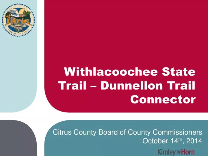
Withlacoochee State Trail – Dunnellon Trail Connector. Citrus County Board of County Commissioners October 14 th , 2014. Project Details. Important connection linking Withlacoochee State Trail (46 miles) to Dunnellon Trail (2.5 miles). Project Steps.

E N D
Withlacoochee State Trail – Dunnellon Trail Connector Citrus County Board of County Commissioners October 14th, 2014
ProjectDetails Important connection linking Withlacoochee State Trail (46 miles) to Dunnellon Trail (2.5 miles)
Project Steps • Evaluation of alignment alternatives - Complete • Public meeting held on 9/15/2014 - Complete • BOCC selection of preferred alignment - Today • Acquisition of grant funding – Next Step • Design and permitting of trail connector • Construction
Alignment Alternatives Withlacoochee State Trail (Gulf Junction Trailhead) Dunnellon Trail (CR 39 Trailhead) US 41 Crossing
Alternative 1 1.09 miles No private property required Easement required from Duke Energy US 41 Overpass required Trailhead to Trailhead
Alternative 2 1.28 miles No private property required Easement required from Duke Energy US 41 Overpass required Trailhead to Trailhead
Alternative 3 1.34 miles Private property required US 41 Overpass required US 41 Overpass ramps may impact existing business access Not Trailhead to Trailhead
Alternative 4 1.66 miles Private property required US 41 Overpass not required Right-of-Way required from CSX Not Trailhead to Trailhead
Public Meeting Results Well attended and collaborative Comment cards indicated support of Alternative #1 (direct Trailhead to Trailhead connector) Significant dialogue related to Delmane Drive typical section: • One 12-ft wide multi-use trail vs. two 6-ft wide sections • Physical separation from vehicular travel lane • This topic will be addressed fully during design stage and will consider Right-of-Way and Drainage characteristics
Alternative 1 Characteristics:Path Typical Section Similar to the existing trails (12 foot wide multi-use path) Withlacoochee State Trail Dunnellon Trail
Alternative 1 Characteristics:Delmane DrivePreliminary Concept
Alternative 1 Characteristics:Delmane DrivePreliminary Concept
RecommendedAlternative:Alternative 1 Shortest Trailhead to Trailhead No private property acquisition No significant issues identified Public support Finalize typical section Questions?