Download
1 / 38
380 likes | 437 Views
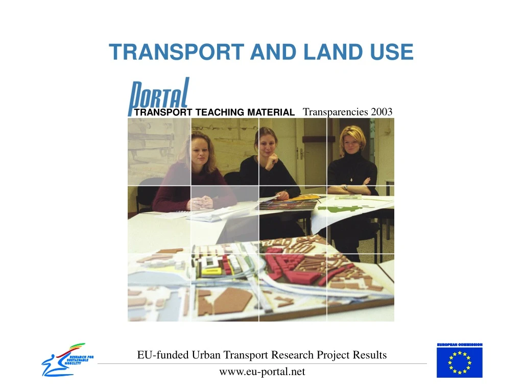
TRANSPORT AND LAND USE. Transparencies 2003. TRANSPORT TEACHING MATERIAL. EU-funded Urban Transport Research Project Results. www.eu-portal.net. DEFINITION. Transport Planning and Land-use relates to two main aspects

E N D
TRANSPORT ANDLAND USE Transparencies 2003 TRANSPORT TEACHING MATERIAL EU-funded Urban Transport Research Project Results www.eu-portal.net
DEFINITION • Transport Planning and Land-use relates to two main aspects • the general spatial and land-use patterns that have an impact on transport volumes and • the spatial/land-use requirements of transport infrastructure.
OBJECTIVES • To understandthe interrelation of land-use and transportation needs. • To realise the transport planning problems within urban and suburban areas. • To be informed about latest trends, policies and practices in this field, forming a valuable background for their future work. • To develop and exercise critical skills that will help in evaluation, assessment and (later on) the design of transportation plans in urban and suburban regions.
OBJECTIVES - EXAMPLES • Assessment of French administrative procedure to ensure the consistency of road projects with urban land-use plans • The spatial effects of the Oresund bridge between Copenhagen and Malmo • Assessment of a new legal provision in Italy aimed at fostering concertation between local bodies in transport and land-use policies • Assessment of the Delta Plan programme in Barcelona, which groups a set of land-use and transport projects
CHALLENGES • To provide solutions in order to • Minimize traffic congestion • Make transportation in urban and suburban areas more efficient, safer and environmentally friendlier • Improve the working and living conditions within the cities • Enhance economic growth
CHALLENGES REFRAMING OF TRANSPORT PLANNING • Professional structures: from transport engineers to transport planners • Transport Policy: from road schemes to integrated packages • Modeling: from gravity models to accessibility indices • Developer contributions: from developer contributions of highways to public transport improvements and • Technology: from structural to managerial technologies
EXAMPLES – FROM THE OLD TO THE NEW LOGIC • Professional structures: structural engineers and planners will work together with other actors to develop integrated packages • Transport Policy: instead from road building initiatives, re-allocation of resources towards more demand oriented approaches • Modeling: transport models for areas of low accessibility using Public Transport instead of road building • Developer contributions: instead of improving road capacity, create and improve Public Transport • Technology: investment of smaller traffic calming schemes and information and road pricing schemes to find ways of managing demand
NEW LOGIC • Commitment to significantly improved public transport • Introduction of traffic calming and pedestrianisation measures • Advanced information technology based systems to get the most out of the existing infrastructure • Road pricing • Reduction in the building of new roads
COMPARISON OF THE OLD AND NEW LOGIC Source: Guy and Marvin, 1996
RELEVANT EU POLICIES • The Land Use and Transport Research (LUTR) cluster • The Common Transport Policy • The Urban Audit (1997) • Towards a Local Sustainability Profile – European Common Indicators
LAND USE AND TRANSPORT INTERACTION • The “Land-use transport feedback cycle” • Theoretical approach • Empirical approach • Policies for better integration • Policy objectives and policy effects
THEORETICAL APPROACH • Technical theories (urban mobility systems) • Economic theories (cities as markets) • Social theories (society and urban space)
THEORETICAL AND TECHNICAL APPROACH • Impacts of land-use policies to transport • Essential factors • Residential density • Employment density • Neighbourhood design • Location city size • Impacts on • Trip length • Trip frequency • Mode choice
THEORETICAL AND EMPIRICAL APPROACH • Impacts of transport policies to land-use in terms of accessibility • Impacts on • Residential location • Industrial location • Office location • Retail location
THEORETICAL AND EMPIRICAL APPROACH • Impacts of transport policies to transport • Essential factors • accessibility • Travel cost • Travel time • Impacts on • Trip length • Trip frequency • Mode choice
POLICIES FOR BETTER INTEGRATION OF LAND USE AND TRANSPORT • Policy objectives and policy effects • Type of policies • Investment and services • Planning • Regulation • Pricing • Information and informal services • Policies for land-use and transport are analysed according to the type of policies
INSTRUMENTS OF TRANSPORT POLICY (Transland, del 2b) • Definition • there are means by which the policy objectives can be achieved and the problems identified overcome. • Measures • Land use measures • Infrastructure measures • Management measures • Information provision • Pricing measures
LAND USE - TRANSPORT MODELS • Mathematical models simulate human decision making and its consequences • They are able to forecast unknown situations and to determine the effect of a single factor • Land use transport models incorporate the most essential processes of spatial development including • Transport may be modeled either endogenously or by an exogenous transport model.
Transport model T1 T2 T3 T4 No public transport no modal split - Public transport logit peak hour Public transport no logit 24 h Multi-modal activity-based Land use model - L1 None L2 Activity and judgement L3 No market based Land allocation L4 Logit allocationWith price signals L5 Market based Land use model - - L6 Activity Based Land use model - - EVOLUTION OF URBAN LAND-USE TRANSPORT MODELS Source:Transland, Figure 2.2. Evolution of urban land-use transport models (adapted from1 Miller, E.J., Kriger, D.S., Hunt, J.D., Badoe, D.A. (1998): Integrated Urban Models for Simulation of Transit and Land-Use Policies. Final Report, TCRP Project H-12. Toronto: Joint Program of Transportation, University of Toronto)
URBAN SUSTAINABILITY INDICATORS • Environmental • Air pollution • Consumption of natural resources • Environmental quality • Social • Health • Equity • Opportunities • Economic • Total net benefit from transport • Total net benefit from land-use • Regional economy and competitiveness
EXAMPLES – CASE STUDIES TRANSLAND PROJECT STRASBOURG • Aim: • modal share of 25% two-wheels & others • 25% public transport • 50% private vehicles.
EXAMPLES – CASE STUDIES TRANSLAND PROJECT STRASBOURG • Strategies: • The City of Strasbourg implemented a set of policies calling for: • Hypercentre traffic ban; • Pedestrian area extension • Cycle-ways extension; • Public transport re-organisation, and • Parking policy modification • Accompanied by a strong political support, formation of a technical pilot committee • Consulation of Citizens
EXAMPLES – CASE STUDIES TRANSLAND PROJECT STRASBOURG • Results: • The use of public transport has increased with negativ repercussions on walking and cycling • The car modal share has raised (slightly in the downtown area, significantly in the urban area as a whole); • The tran share raised at 40% in the downtown area • The tram service has brought about the renovation of the facade of 29% of the buildings located alongside the routes; • The policy has been successful downtown, while the urban area as a whole has not benefit from it as it has experienced an increase of private modal share. • A general lack of coordination has been reported. Furthermore, uncontrolled and car-driven urban sprawls still exist
EXAMPLES – CASE STUDIES TRANSLAND PROJECT STRASBOURG • Park & ride facilities have been developed; • Private dweilling rents raised at a faster rate in fringe areas well served by public transportation than in central areas; • Downtown traffic has shown 17% reduction as compared to 2-3% reduction over the past years. I the whole urban area motorway traffic has increased • The policy has been successful downtown, while the urban area as a whole has not benefit from it as it has experienced an increase of private modal share; • A general lack of coordination has been reported. Futhermore, uncontrolled and car-driven urban sprawls still exist.
EXAMPLES – CASE STUDIES TRANSLAND PROJECT MADRID • Achieve an overall Regional Plan • Improve conditions in the four metroplitan sectors setting medium term (10 – 15 years) planning goals
EXAMPLES – CASE STUDIES TRANSLAND PROJECT MADRID • Implementation of collaborative model for all convenios of the Madrid Region by the local territorial agency • Involve governmental agencies (agency of public works and transportation) • Involve neighbourhood organisations as instrucmental partners.
EXAMPLES – CASE STUDIES TRANSLAND PROJECT MADRID • Results: • Eased institutional consentration • Promoted intence public participation • Developed social cohesion • Provided adequate housing • Located residents in the original land • Developed an urban centrality using criteria of urban quality • Improved the quality of lodging, education health, culture and leasure • Improved accessibility
EXAMPLES – LAND-USE TRANSPORT MODELS • MEPLAN • SPARTACUS project (USE-IT model, MEPLUS, RASTER module) • LASER (application of MEPLAN for London and the South East Region, England) • MEMOTO (application of MEPLAN in Kanto Region, Tokyo, Japan) • MENTOR • EUNET/RASTER-NET • TRANUS • IRPUD
EXAMPLES - MEPLAN • MEPLAN is based on representation of markets in land (space); transport and economy • used in the SPARTACUS project for test cities Land Use Transport Demand for transport Land Uses (activities) Travel, freight • together with - the Raster methodology (to assess urban sustainability indicators), • the USE-IT model (a Microsoft Visual Basic application) • and MEPLUS (a GIS-based policy analysis tool) Accessibilities Transport-systems Land, floorspace The MEPLAN model framework
EXAMPLES – LAND-USE TRANSPORT MODELS • MENTOR is a land-use planning software than can be linked with existing transport/traffic models such as SATURN, TRIPS, EMME2 or CONTRAM. • RASTER-NET is a GIS developed for EUNET, EUFRANET and SCENE EC
EXAMPLES – LAND-USE TRANSPORT MODELS • MEPLAN and TRANUS are multiregional input-output models capable of modeling intermodality and having a freight transport model. • TRANUS is an integrated land-use and transport model. It can simulate the probable effects of applying particular land-use and transport policies and projects and evaluate these effects from social, economic, financial and energy points of view. • IRPUD is a simulation model of intra-regional location and mobility decisions in a metropolitan area. It consists of 6 interlinked submodels: transport; ageing; public programmes; private construction; labour market and housing market.
CONCLUSIONS (Transland) • Land-use and transport policies are only successful with respect to criteria essential for sustainable urban transport if they make car travel less attractive • Land-use policies to increase urban density or mixed land-use without accompanying measures to make car travel more expensive or slower have only little effect. • Large spatially not integrated retail and leisure facilities increase the distance travelled by car and the share of car travel. • Fears that land-use and transport policies designed to constrain the use of cars in city centres are detrimental to the economic viability of city centres have in no case been confirmed by reality.
CONCLUSIONS • 'Best practices' are 'good practices' when they have worked successfully in a wide range of situations and have been shown to produce results satisfying integration and sustainability objectives. • sustainability is mainly seen as the promotion of environmentally friendly modes, and their accessibility for different social groups, while reducing dependence on the private car.
QUESTIONS How can we promote a balanced sustainable regional structure Which are the most efficient policy measures to obtain it? What does extensive growth of Athens Metropolitan area mean? What does maximal use of land resources in Athens mean in other cities and municipalities? What kind of impacts would the new tram line in Athens have in the greater metropolitan area? How do the regional settlement patterns change due to faster or slower growth of Gross National Product (GNP)?
OVERVIEW OF POLICY EFFECTS source: TRANSLAND, Deliverable 2b
OVERVIEW OF POLICY EFFECTS source: TRANSLAND, Deliverable 2b
OVERVIEW OF POLICY OBJECTIVES source: TRANSLAND, Deliverable 2b
OVERVIEW OF POLICY OBJECTIVES source: TRANSLAND, Deliverable 2b