Download
1 / 15
150 likes | 278 Views
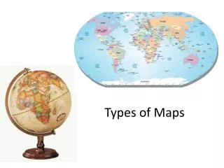
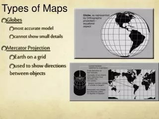
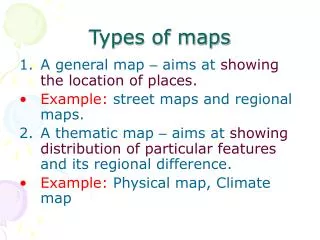
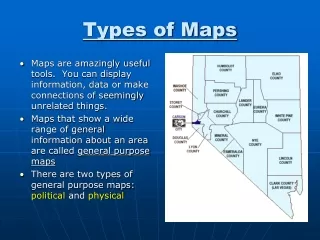
Types of Maps (pg. 54). I. Maps. A map is a picture of the location of things at a given time They help you figure out where you are on the planet. II. Scales and Legends. A legend lists all the symbols used on the map and what they mean.

E N D
I. Maps A map is a picture of the location of things at a given time They help you figure out where you are on the planet
II. Scales and Legends A legend lists all the symbols used on the map and what they mean. The scale tells you the relationship between distance on the map and distance on the earth.
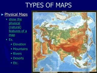
III. Topographic Maps They show elevation so you know if the area is flat or steep. Topographic maps show buildings, roads & towns as well as natural features. They have contour lines that show specific elevation along the line.
IV. Geologic Maps They show what the earth is made of in a specific area. They show faults, mineral deposits and rock formations.