Download
1 / 13
210 likes | 1.55k Views
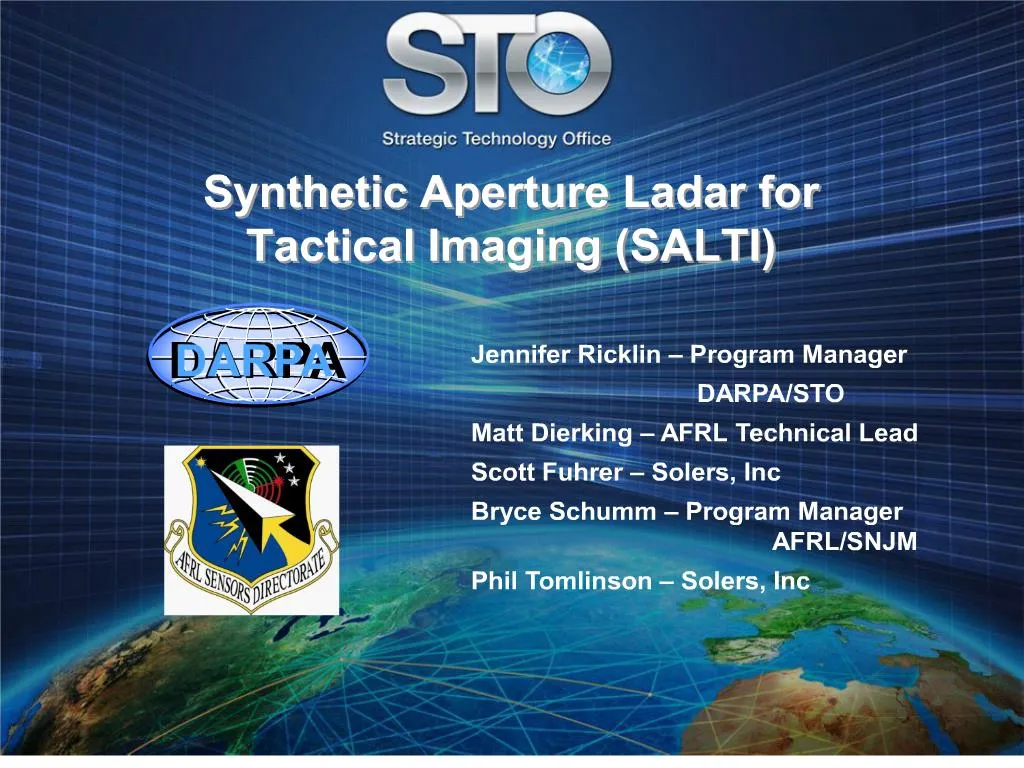
Approved for Public Release, Distribution Unlimited. SALTI Program. Sponsor: DARPA/STOExecuting Agent: AFRL, Sensors DirectorateGovernment Team: AFRL, JHU/APL, NASA/JPL, MIT/LLObjective: Develop and demonstrate an airborne synthetic aperture laser radar (LADAR) imager capable of producing high-resolution, three-dimensional imagery at long ranges. Future plans are to prototype and demonstrate on military aircraft..

E N D
1. Synthetic Aperture Ladar for Tactical Imaging (SALTI)
2. Approved for Public Release, Distribution Unlimited
3. Approved for Public Release, Distribution Unlimited Synthetic Aperture Basics Halt the Invasion Phase for the AeF
Support - Lift
Sustainability -
Halt the Invasion Phase for the AeF
Support - Lift
Sustainability -
4. Approved for Public Release, Distribution Unlimited SAL Implementation Real Aperture (RA) Beam � Diffraction limited spot on Target Area
Synthetic Aperture Baseline (Le=VT) is the effective along track dimension of the aperture
Synthetic Aperture (SA) image is formed Intra-beam within each individual RA beam
SA Array � Simultaneous vertical group of RA beams, or SA images, combined to form image
5. Approved for Public Release, Distribution Unlimited Synthetic Aperture Ladar SAL � SAR Comparison SAL Benefits
High resolution
Angle resolution proportional to wavelength (~ ?/D or ?/2VT)
Range resolution depends on system bandwidth
High interpretability
Scattering is more diffuse as compared to radar
Image quality - more like visible
Short Acquisition Times from 10000x shorter ?
The price is narrow field-of-regard
Operational issues/features
Cued from other sensor or coordinates (not a search sensor), Produces fast high resolution image of small areas
Day/night Operation
Some obscuration penetration possible, but not all weather
LPI
Exploitability of 3-D imagery
Avoids RF spectrum allocation problems
6. Approved for Public Release, Distribution Unlimited SAL System Summaries Raytheon: 1.55 �m
COTS fiber technology
Multiple Tx beams
Stretch Processing w/ Coherent on Receive
Northrop Grumman: 9.11 �m
CO2 unique laser development
4 Interleaved �Gatling Gun� Laser approach with single array
Stretch Processing w/ Coherent on Receive
Each approach has it advantages and disadvantages
Component Availability/Scalability
RA Resolution � ?/D
Turbulence favors larger wavelength
Atmospheric Transmission
Target Phenomenology (BDRF)
7. Approved for Public Release, Distribution Unlimited SALTI Significant Achievements Demonstrated synthetic aperture resolution, measured from corner-cube images) using different wavelengths and architectures (Spring 2006). These were the first-ever synthetic aperture images produced from airborne sensors!
Produced compelling 3-D imagery of extended diffuse targets (Fall 2006)
Demonstrated viability of SAL operation in urban setting (Long Beach, CA) including urban canyons and sides of buildings (Spring 2007)
8. Approved for Public Release, Distribution Unlimited Challenges Atmospheric Turbulence
Target Motion
Velocity
Acceleration
Vibration
9. Approved for Public Release, Distribution Unlimited Atmospheric TurbulenceOperating Regions Regions Defined by Atmospheric Coherence Diameter, the Real Aperture, and the Synthetic Aperture Length
Weaker than expected LWIR/SWIR advantage due to increased baseline for equivalent resolutions
Region I � Both the Real aperture and entire baseline fits within coherence diameter
Image formation � No impact
Efficiency - No impact
Region II � Each Real aperture fits within coherence diameter, but not Baseline
Image formation � Each real aperture is coherent, but not coherent across SA. SA image can still be formed with processing - & Auto focus.
Efficiency � No Impact
Region III Aperture � Coherence Diameter Smaller than both baseline and Real Aperture
Image formation - RA degraded, SA difficult or impossible to form.
Efficiency � Degrades as the ratio of the RA to Coherence Diameter
10. Approved for Public Release, Distribution Unlimited Atmospheric TurbulenceGLOBAL HAWK Case Coherence diameter ro is calculated for each wavelength for best and worse case atmospheres - HV 5/7 and WSMR respectively
Both Systems enter Region II where ro crosses the required baseline
Baseline for LWIR l2/l1 greater than SWIR (~6x)
Both systems enter Region II at about the same ranges for most atmospheres
The Systems cross into Region III based on RA
SWIR crosses to Region III, but at ranges useful for GH
LWIR does not at practical ranges from this altitude
SWIR may be atmospheric turbulence limited at long ranges and lower altitudes
11. Approved for Public Release, Distribution Unlimited Equations of Error Due to Target Motion Range Error
Azimuth Error
Defocusing
12. Approved for Public Release, Distribution Unlimited Snails Example Suppose you have two snails separated by 15 centimeters in azimuth. They would occupy the same �real� beam but should be easily resolvable in the SAL image. Assume they are distinguishable by their contrast above/below the dirt return. Assume one is stationary and one is crawling toward the sensor at the rate of 2 mm/sec. In this case, the two snails appear at exactly the same azimuth in the image.
13. Approved for Public Release, Distribution Unlimited Slow Turn Suppose a vehicle in the scene is making a very slow turn such that its velocity vector is always toward the sensor; then, every scatterer on the vehicle would appear at the same azimuth.
14. Approved for Public Release, Distribution Unlimited Summary SALTI sensors are the first-ever synthetic aperture LADAR to be operated from aircraft.
Two parallel and independent systems with different wavelengths and architectures
Range, azimuth, and elevation resolutions match theoretical predictions
Unprecedented 3D renderings of extended diffuse targets
Unlike SAR (radar), can operate in urban settings
Effects of target motion/acceleration and atmospheric turbulence are under investigation.