Download
1 / 6
60 likes | 66 Views
Learn best practices, lessons, and requirements for developing regional portals and web atlases to support coastal and marine spatial planning. Join the Coastal GeoTools Special Interest Meeting on March 21, 2011.

E N D
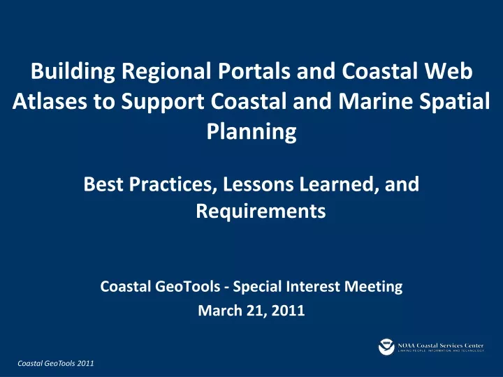
Building Regional Portals and Coastal Web Atlases to Support Coastal and Marine Spatial Planning • Best Practices, Lessons Learned, and Requirements • Coastal GeoTools - Special Interest Meeting • March 21, 2011
Purpose of the Special Interest Meeting • Convene a multi-regional group with experience in developing and maintaining regional portals to share information and lessons learned
Objectives • Increase the amount of knowledge shared between national, regional, and state portal and web-based mapping efforts • Discuss the state of knowledge, lessons learned and best practices associated with portal development and web based mapping applications • Find commonalities that can be used as a basis for building a community website around coastal atlases and regional portals • Start a dialog on how to work together within and between regions to support regional coastal and marine spatial planning data needs
Agenda • 8:30 Welcome and Introductions • National Ocean Council - Geospatial Activities • 8:45 International Coastal Atlas Network Overview • 9:00 Regional Activities Overview • Regional Panel Questions and Answers • 10:05 Break-out Session • 10:55 Report Out from Breakout and Discussion • 11:30 Next Steps and Wrap-up • 11:45 Adjourn
Break-out Session • Question 1: What types of technical guidance should be provided to assist with coastal atlases and regional data portal development? • Question 2: What types of communication mechanisms would be useful to assist with coastal atlases and data portal development?
Notes/Highlights • Major topics • Technology (mapping approaches, standards, hosting) • Scaling (local state regional federal global) • Building a community • Funding • Outreach and inreach • All meeting materials, including notes are posted: • http://ican.science.oregonstate.edu/en/ican_events • Coastal GeoTools website (full conference program): • http://geotools.csc.noaa.gov/default.aspx