Download
1 / 4
40 likes | 43 Views
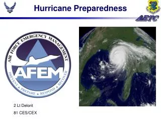
This project by USDA Forest Service involves the development of data sets, GIS mapping products, and assessment tools for hurricane preparedness and emergency response. It also includes collaborations with various agencies and organizations to enhance response capabilities.

E N D
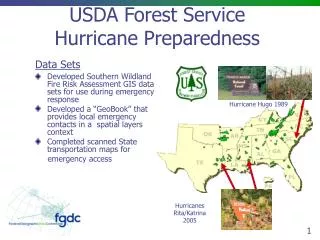
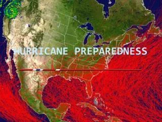
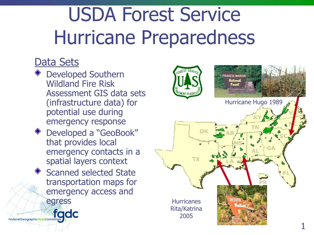
USDA Forest ServiceHurricane Preparedness Data Sets • Developed Southern Wildland Fire Risk Assessment GIS data sets (infrastructure data) for potential use during emergency response • Developed a “GeoBook” that provides local emergency contacts in a spatial layers context • Scanned selected State transportation maps for emergency access and egress Hurricane Hugo 1989 Hurricanes Rita/Katrina 2005
USDA Forest ServiceHurricane Preparedness Services and Products • Enhancing FS internet for Hurricane/Hazards web site at http://www.fs.fed.us/r8/hurricaneguide/ • Creation of a “Response Guide” for damage assessment and utilization of woody materials in cooperation with state and local agencies • Developing a GIS template for standardized hurricane mapping products • Procurement of external storage devices & plotters specifically for emergency response
USDA Forest ServiceHurricane Preparedness Models and Tools • Developing systematic assessment tools for storm damage models • Developed a gross vegetation change (pre- and post-event) model using Landsat imagery • Developed a storm damage prediction model based on wind speed & precipitation in cooperation with NOAA
USDA Forest ServiceHurricane Preparedness Collaboration • Developed a method for estimations of damaged areas and potential wood volume losses needed within days in order to be presented to Congress • Collaboration with USGS’s First Responder ArcIMS server and staff • Collaboration with the National Interagency Fire Center’s FTP site to exchange GIS data sets • Collaboration with American Forests (an NGO) to develop a Damage Assessment Model for wildland/urban interface areas • Technical collaboration with USDA-FSA and State Foresters for storm damage restoration of private lands