Download
1 / 5
50 likes | 56 Views
Explore the relationship between census data and the Texas transportation system, including funding, planning, and key programs.

E N D
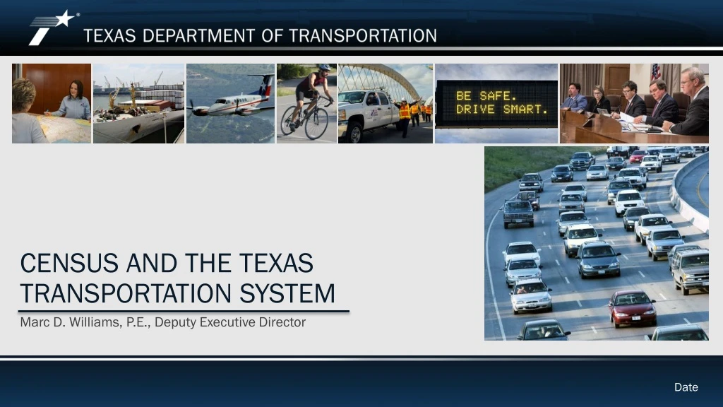
Census and the texas transportation system Marc D. Williams, P.E., Deputy Executive Director Date
Census and Transportation • Demographics and transportation together provide comprehensive solutions to complex issues. They help get you where you need to go on time, save lives, and keep the economy moving. • Key census data variable used in transportation include: • Population • Age distribution • Disability • Household composition, income and life cycle stage • Education level • Residence location (urban, suburban, or rural) • Land area
Transportation Funding • Texas’ relies heavily on Census derived data to fund the many elements of its transportation system. Federal programs that use Census data for funding distributions* include: • Highway Planning and Construction - $3.9B • Federal Transit Formula Grants - $315.9M (Urbanized Area) • Federal Transit Formula Grants for Rural Areas – $47.2M (Nonurbanized Area) • Federal Transit Capital Investment Grants - $44.0M (State of Good Repair) • Elderly and Disabled Transit Grants – $19.9M • Federal Transit Planning Grants – $11.6M • National Motor Carrier Safety – $30.0M (TxDMV) • State and Community Highway Safety Grants – $18.9M * FY 2019
Transportation Planning • Census data are used in many transportation planning applications. These include: • Population forecasting • Travel demand modeling and microsimulation • Title VI analysis • Land use analysis • State and local planning experts contract for a special tabulation of American Community Survey data called the Census Transportation Planning Package (CTTP). • U.S. Census definition of “urbanized areas” is used in the Federal determination of Metropolitan Planning Organizations (MPOs). • Both FHWA and FTA use census data to define their own population thresholds for urbanized and nonurbanized areas.
Other Programs and Efforts • Census derived data is used in a number of other key transportation programs. • Forecasting future program and investment needs. • State funded programs including Metropolitan & Urban Area Corridor Projects, and Congestion Mitigation and Air Quality Improvement projects. • Transportation alternatives such bike and pedestrian programs • Federal disaster declaration process and FEMA reimbursement for debris removal and repair/replacement of non-federal aid highways. • Local programs funded through MPOs. • Environmental Community Impact Assessments. • Local intersection signalization. • Population highway signage.