Download
1 / 22
220 likes | 228 Views
World Geography. Eric Pacholski. World Geography. Grade K Geography Content Standards “As a result of their activities in grade K, all students should develop an understanding of

E N D
World Geography Eric Pacholski
World Geography • Grade K • Geography • Content Standards • “As a result of their activities in grade K, all students should develop an understanding of • Terms related to direction and distance, as well as symbols and landmarks, can be used to talk about the relative location of familiar places. • Using models and maps to represent places.”
Main Menu Continents Directions Other Resources Oceans Works Cited Continents and Oceans Song
Directions • North The top side of a compass, or the arrow pointing upward is North.
Directions • South The bottom side of a compass, or the arrow pointing downward is South.
Directions • East The right side of a compass, or the arrow pointing right is East.
Directions • West The left side of a compass, or the arrow pointing left is West. Main Menu
Continents • North America • North America is the third largest continent • North America is bordered by three oceans the Arctic Ocean (north), the Atlantic Ocean (east) and the Pacific Ocean (south and west).
Continents • South America • South America is the fourth largest continent. • South America is bordered by three oceans the Southern Ocean (south), the Atlantic Ocean (east) and the Pacific Ocean (south and west).
Continents • Europe • Europe is the sixth largest continent. • Europe is bordered by two oceans the Arctic Ocean (North), and the Atlantic Ocean (west).
Continents • Africa • Africa is the second largest continent. • Africa is bordered by three oceans the Southern Ocean (south), the Atlantic Ocean (west) and the Indian Ocean (east).
Continents • Asia • Asia is the largest continent. • Asia is bordered by two oceans the Indian Ocean (South) and the Pacific Ocean (East).
Continents • Australia • Australia is the seventh largest continent. • Australia is bordered by three oceans the Southern Ocean (south), the Indian (west) and the Pacific Ocean (east).
Continents • Antarctica • Antarctica is the fifth largest continent. • Antarctica is bordered by one ocean the Southern Ocean (North). Main Menu
Oceans • Arctic Ocean • The Arctic Ocean is the fifth largest ocean.
Oceans • Atlantic Ocean • The Atlantic Ocean is the second largest ocean.
Oceans • Pacific Ocean • The Pacific Ocean is the largest ocean.
Oceans • Indian Ocean • The Indian Ocean is the third largest ocean.
Oceans • Southern Ocean • The Southern Ocean is the fourth largest ocean. Main Menu
Other Resources • http://www.sheppardsoftware.com/World_Continents.htm This website is a great tool for students to use to practice learning the different continents and oceans. Main Menu
Continents and Oceans Song • http://youtu.be/kNGJfg45QRI Main Menu
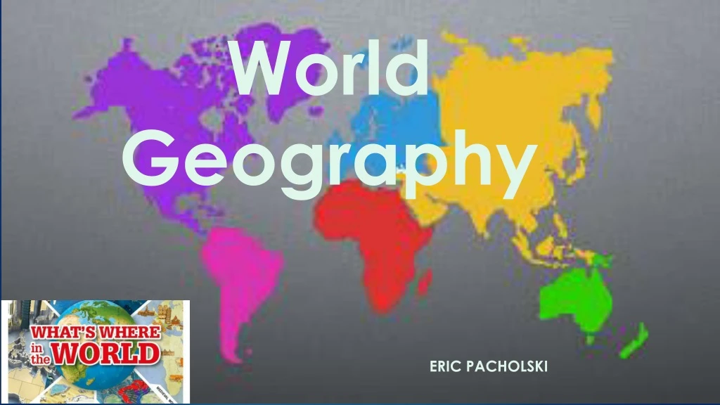
Works Cited • Images • Whats where in the world illustration. (2013) [Child friendly news.com] retrieved from http://childfriendlynews.com/whats-where-in-the-world Slide 1 • World map illustration. (2013) [Designing for the internet.com] retrieved from http://k1108474-desgningfortheinternet.blogspot.com/2013_03_01_archive.html Slide 1 • Globe Image. (2011) [Scoop It] retrieved from http://www.scoop.it/aboutus Slide 3 • North Image. (2011) [cadlispantips] retrieved from http://www.cadlispandtips.com/2011/01/lisp-north-direction.html Slide 4 • South Image. (2000-2014) [Dreamstime] retrieved from http://www.dreamstime.com/stock-photography-south-direction-compass-icon-vector-illustration-image34082002 Slide 5 • East Image. (2000-2014) [Dreamstime] retrieved from http://www.dreamstime.com/stock-photography-south-direction-compass-icon-vector-illustration-image34082002 Slide 6 • West Image. (2000-2014) [Dreamstime] retrieved from http://www.dreamstime.com/stock-photography-south-direction-compass-icon-vector-illustration-image34082002 Slide 7 • North America Image. (2014) [hattorihachi] retrieved from http://www.hattorihachi.com/northamerica.asp Slide 8 • South America Image. (2013) [exchange zones] retrieved from http://www.exchangezones.com/Home-Exchange-in-South-America.htm Slide 9 • Europe Image. (2014)[internationalteflacademy] retrieved from http://www.internationalteflacademy.com/europe-english-teaching-job-abroad-index Slide 10 • Africa Image. (2013) [blogspot.com] retrieved from http://somaliatheism.blogspot.com/2013/04/religion-in-africa.html Slide 11 • Asia Image. (2008-2014) [asap-asia] retrieved from http://www.asap-asia.org/ Slide 12 • Australia Image. (2013) [tachnat] retrieved from https://www.tachnat.com/worklive_study.html Slide 13 • Antarctica Image. (2000) [worldatlas] retrieved from http://www.worldatlas.com/policy.htm Slide 14 • Arctic Ocean Image. (2013) [1X57] retrieved from http://1x57.com/b/change-your-world-view-maps-with-the-north-pole-as-the-center/ Slide 15 • Atlantic Ocean Image. (2014) [kids.britannica] retrieved from http://kids.britannica.com/elementary/art-87091 Slide 16 • Pacific Ocean Image. (2014) [darkgovernment] retrieved from http://www.darkgovernment.com/news/pacific-warming-15-times-faster-than-normal/ Slide 17 • Indian Ocean Image. (2014) [kids.britannica] retrieved from http://kids.britannica.com/elementary/art-87091 Slide 18 • Southern Ocean Image. (2014) [worldmapmarker] retrieved from http://www.worldmapmaker.com/countries/southern-ocean/geography Slide 19 • All about world geography illustration. (2014) [Sheppard Software] retrieved from http://www.sheppardsoftware.com/World_Continents.htm Slide 20 • Kids and Geography Image. (2014) [Baltimore County Public Library] retrieved from http://www.bcpl.info/kids-teens-parents-teachers/homework-kids Slide 21 • Video • Tee Hee, Town. (2014, July 28). Kid Songs | Seven Continents Song for Children | The Continents Song. Retrieved from https://www.youtube.com/watch?v=kNGJfg45QRI Slide 21 Main Menu