Download
1 / 18
180 likes | 346 Views
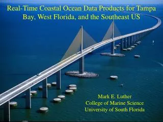
The Tampa Bay Physical Oceanographic Real-Time System (PORTS). Mark Luther, Robert Weisberg, Cliff Merz, Steve Meyers, Ruoying He, Vembu Subramanian, Sherryl Gilbert, Lauren Wetzel, Rick Cole, Jeff Donovan, and Jeff Scudder University of South Florida College of Marine Science

E N D
The Tampa Bay Physical Oceanographic Real-Time System (PORTS) Mark Luther, Robert Weisberg, Cliff Merz, Steve Meyers, Ruoying He, Vembu Subramanian, Sherryl Gilbert, Lauren Wetzel, Rick Cole, Jeff Donovan, and Jeff Scudder University of South Florida College of Marine Science Mark S. Vincent and David C. Burwell, NOAA/NOS
Tampa Bay PORTS Physical Oceanographic Real-Time System Operated in collaboration with NOAA/NOS/Center for Operational Ocean Products and Services (CO-OPS) and local maritime interests www.co-ops.nos.noaa.gov/ or ompl.marine.usf.edu/PORTS
Uses/Users • Safe and Efficient Navigation/Tampa Bay Pilots, Tampa Port Authority, Shipping Agents, USCG • Hazardous Material Spill Response/FDEP, NOAA-HAZMAT, USCG • Environmental Protection&Management/FDEP, FWC, EPCHC, Dept. of Health • Storm Surge Prediction&Mitigation/County Emergency Managers, FDEM • Red Tide Studies&Prediction/FWC, FDEP • Fisheries Management/FWC, NMFS • Sediment Transport Studies&Mitigation/USGS, FDEP, USACOE
Pilot Carry-on Units Display Real-Time PORTS Data as part of an operational VTIS/AIS Ship groundings have decreased by 60% since PORTS became operational
August 1993 Oil Spill Goal of PORTS and VTIS is to prevent this PORTS data and early version of model successfully used to predict spill trajectory
West Florida Coastal Ocean Monitoring and Prediction System (COMPS)A component of the Southeast Atlantic Coastal Ocean Observing System (SEA-COOS)and the Gulf of Mexico Coastal Ocean Observing System (GCOOS) http://comps.marine.usf.edu
Hillsborough River TBC Palm River McKay Bay Big Bend
Forecast Animation September 12, 2002 http://ompl.marine.usf.edu/TBmodel
+ Piney Point Phosphate Plant
A NOAA funded partnership of research institutions, state and regional resource managers, and private sector companies interested in developing and applying sensor technologies for monitoring coastal environments.
ACT Partnership Includes Cooperative Institute for Limnology & Ecosystems Research Gulf of Maine Ocean Observing System Moss Landing Marine Laboratories Coastal Services Center Monterey Bay Aquarium Research Institute www.actonline.ws