Download
1 / 29
290 likes | 401 Views
Reflections on North American Regions. Re-regionalizing.

E N D
Re-regionalizing • We can all probably agree that the borders of the states in the U.S. don’t represent very well the true cultural, linguistic, political, economic, and historic regional differences in the various parts of the country. In many cases these borders are an impediment to sensible regional planning, and do not reflect true regional allegiances. Over the years, a number of people have taken stabs at re-imagining the regions of America, (what I like to call “re-regionalizing”). These plans often include our Canadian neighbors to the north and our Mexican neighbors to the south, while other schemes stop short at the borders.
Divided States of America In, United States of America Out - Here we have 10 regions. This map was first published in a conservative Turkish newspaper.
New Map of North America created by Colonel Peters, Deputy Chief of Staff for Intelligence, US Defense Department as a “spoof.”
Canada and the United States in the Year 2092, by Douglas Coupland, author of “Shampoo Planet” and “Generation X.” This map, first issued in 1992.
George EtzelPearcy, a California State University geography professor, re-drew the state borders of the U.S. to end up with 38 states rather than 50. The borders were put in less populated areas, allowing major metropolitan areas to be contained all within one state
PhysicalRegions • Primarily based on landforms and climates
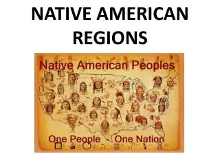
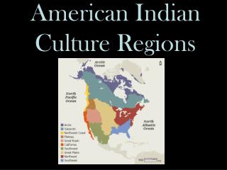
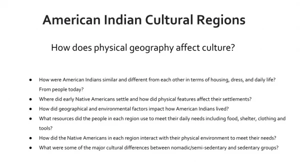
And we will end on this note – the U.S. divided up into the major cultural/tribal regions of the original inhabitants of the continent.