Download
1 / 8
80 likes | 199 Views
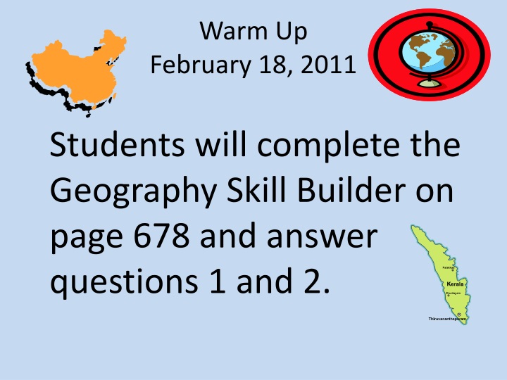
Warm Up February 18, 2011. Students will complete the Geography Skill Builder on page 678 and answer questions 1 and 2. SS7G9 The student will locate selected features in Southern and Eastern Asia.

E N D
Warm UpFebruary 18, 2011 Students will complete the Geography Skill Builder on page 678 and answer questions 1 and 2.
SS7G9 The student will locate selected features in Southern and Eastern Asia. a. Locate on a world and regional political-physical map: Ganges River, Huang He (Yellow River), Indus River, Mekong River, Yangtze (Chang Jiang) River, Bay of Bengal, Indian Ocean, Sea of Japan, South China Sea, Yellow Sea, Gobi Desert , Taklimakan Desert, Himalayan Mountains, and Korean Peninsula. b. Locate on a world and regional political-physical map the countries of China, India, Indonesia, Japan, North Korea, South Korea, and Vietnam. SS7G11 The student will explain the impact of location, climate, physical characteristics, distribution of natural resources, and population distribution on Southern and Eastern Asia. a. Describe the impact climate and location has on population distribution in Southern and Eastern Asia. b. Describe how the mountain, desert, and water features of Southern and Eastern Asia have affected the population in terms of where people live, the type of work they do, and how they travel.
Activator Imagine you are a farmer and planning to move to China. What part of China would you move to? Explain your reasons for doing so.
Today I will learn about the geography of Eastern and Southern Asia because the location of a region affects its economy culture and development.
Essential Question 1. Where are the countries of China, India, Indonesia, Japan, North Korea, South Korea, and Vietnam? 2. How do the mountain, desert, and water features of Southern and Eastern Asia affect the population in terms of where people live, the types of work they do, and how they travel?
Work Period • With your group, use pages 572-579 to complete the Subcontinent Graphic Organizer. • Consider the following as you complete the graphic organizer.
ClosingWhat Would This Be Like? • After viewing the pictures in the previous slide and on your sheet, respond to the following questions: • 1. Based on the pictures, describe what you think life is like for people living in Japan. • 2. Why do you think everything is so crowded there? • 3. How do you think your life would be different if you lived in a place with SO many people?