Download
1 / 9
90 likes | 93 Views
Explore the potential applications of Dual-Frequency Multi-Constellation Satellite-Based Augmentation System (DFMC SBAS) in robust navigation. Learn how it eliminates ionospheric effects and improves signal availability, making it a possible solution for urban canyon, mountain areas, and Arctic/Nordic regions.

E N D
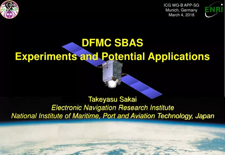
ICG WG-B APP-SG Munich, Germany March 4, 2018 DFMC SBAS Experiments and Potential Applications Takeyasu Sakai ElectronicNavigation Research Institute National Institute of Maritime, Port and Aviation Technology, Japan
Introduction • SBAS: Satellite-Based Augmentation System • International standard augmentation system. • Transmits Augmentation information from the SBAS satellite. • Augments GNSS in terms of accuracy and integrity. • Current standard: Single-frequency SBAS on L1 transmitted by GEO. • US WAAS, Japanese MSAS, European EGNOS, Indian GAGAN. • DFMC SBAS: The Second Generation SBAS • Dual-Frequency Multi-Constellation SBAS using L5 frequency. • Robust navigation augmented via GEO and non-GEO SBAS satellites. • ENRI has been conducting DFMC SBAS experiment via QZSS L5S signal. • Potential Applications of DFMC SBAS • Robust navigation service everywhere in the coverage. • Not influenced by the ionosphere activities even in the low latitude regions. • Could be transmitted by non-GEO SBAS satellite like QZSS IGSO. • Possible solution for applications where GEO signal is likely blocked.
SBAS Architecture SBAS Satellite GNSS Satellites GNSS Signals SBAS Signal Users Uplink Station Ground Monitor Network • Monitors consistency of GNSS signals on the ground. • Transmits differential correction and integrity information via SBAS satellite.
DFMC SBAS • DFMC (Dual-Frequency Multi-Constellation) SBAS • The second generation SBAS following L1 SBAS. • Using L5 SBAS signal instead L1. • Eliminates ionospheric effects thanks to dual-frequency operation. • Robust navigation service everywhere in the coverage. • Could be transmitted by non-GEO SBAS satellites like QZSS IGSO. • Possible solution for applications where GEO signal is likely blocked. • Standardization activities ongoing by the ICAO. • ENRI is now conducting DFMC SBAS Experiment • The First L5 SBAS experiment with live L5 signal from the space. • Using QZSS L5S signal transmitted from GEO (QZS-3) and IGSO (QZS-2/4). • Prototype DFMC SBAS for the experiment has been developed. • GPS/GLONASS/Galileo-capable dual-frequency SBAS. • Compliant with the draft standards of DFMC SBAS being discussed at ICAO. • Began the experiment on 23 Aug. via L5S signal of QZS-2 IGSO. • Contributes to standardization activities by the ICAO.
Real Time Experiment Monitor Stations • GPS+Galileo+QZSS • Dual Frequency (L1+L5) • DFMC L5 SBAS • Location: • GEONET 950369 (Wakayama) • Period: • 2017/11/13 01:00 - 07:00 (6H) • Evaluation of L5 SBAS message generated in real time. • Supporting GPS, Galileo, and QZSS in L1/L5 dual-frequency mode. • Confirmed that L5 SBAS augments multi-constellation of GPS+Galileo+QZSS.
Non-GEO SBAS Concept IGSO IGSO GEO GEO Tyler Reid, ION GNSS+ 2015 • DFMC SBAS could be transmitted by non-GEO satellites like QZSS IGSO. • Improves availability of augmentation signals where GEO signal is blocked. • Arctic/Nordic regions, mountain area, urban canyon,…
Visibility from Nordic Region • Elevation angles computed from QZS-1/2/4 almanacs. • QZSS IGSO satellites are visible in Nordic region; Higher elevation than EGNOS GEO at some location.
Discussion • DFMC (Dual-Frequency Multi-Constellation) SBAS • Augments GNSS in terms of accuracy and integrity. • Eliminates ionospheric effects thanks to dual-frequency operation. • Could be transmitted by non-GEO SBAS satellites like QZSS IGSO. • Possible Applications • Dual frequency operation: Robust navigation with integrity. • Service at the Equatorial regions. • SBAS service by combination of GEO and non-GEO satellites. • Improves signal availability in the urban canyon and mountain areas. • Enables navigation with integrity in the Arctic and Nordic regions. • Ongoing Standardization Activities • Recognize advantage of non-GEO SBAS and support its standardization. • Collaborate to develop applications realized by QZSS IGSO.
Conclusion • SBAS: International Standard Augmentation System • Augments GNSS in terms of accuracy and integrity. • The standardization of DFMC SBAS is ongoing by the ICAO. • Using L5 SBAS signal instead L1. • Eliminates ionospheric effects thanks to dual-frequency operation. • Could be transmitted by non-GEO SBAS satellites like QZSS IGSO. • ENRI has been conducting DFMC SBAS experiment via QZSS L5S signal. • Potential Applications of DFMC SBAS • Robust navigation service not influenced by the ionospheric activities. • Possible solution for urban canyon, mountain area, and Arctic/Nordic regions. • Contact for more discussion: Dr. Takeyasu Sakai <sakai@mpat.go.jp> Electronic Navigation Research Institute National Institute of Maritime, Port and Aviation Technology, Japan