Download
1 / 12
120 likes | 248 Views
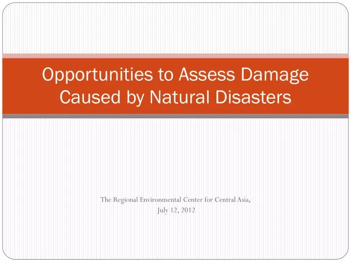
Opportunities to Assess Damage Caused by Natural Disasters. The Regional Environmental Center for Central Asia , July 12, 2012. Basic problems for Central Asian countries.

E N D
Opportunities to Assess Damage Caused by Natural Disasters The Regional Environmental Center for Central Asia, July 12, 2012
Basic problems for Central Asian countries • Complicacy in assessing the cost of territory, infrastructure, human life (unified method) in case of damage caused by natural disasters, or due to mid-term and long-term effects of climate change; • Absence of more precise forecasts of climate change and its effect on territory, infrastructure, human life and his life support (access to resources)
Requests to CAREC from Central Asian countries • Turkmenistan – assessment method on damage from contamination of atmospheric air and water, salinization and land degradation (Dialogues on CA Initiatives on Sustainable Development, Turkmenistan, 2009); • Kyrgyzstan – absence of methods on estimation of damage from climate change/natural disasters (seminar-training on adaptation to climate change in CA, July 2012);
Methods and Approaches CAREC can propose/develop • Risks/ damage types assessment criteria; • Damages assessment criteria • Method on cost estimate of territory and forecast of damages on the base of the developed criteria (maps of costs, maps of damages from certain natural disasters/climate change and synthetic map of risks)
Method on creation of map of cost • Working with digital map of 1:25000 scale for the mountainous and densely populated territories and 1:100000 with the fussed network of the infrastructure and settlements for the unified cost estimate of the territory: • Cost – 1 km of roads by categories; • Cost – 1 ha of lands by categories; • Cost of buildings and constructions by categories; • Cost of the other linear infrastructure (irrigation network, power transmission line)by categories; • Infrastructure and industry / production sites of point type • Population • Use of high resolution space photos (at least 20 m)
Sample of forming map of cost 15 30 30 40 40 15 25 50 1250 50 65 75 30 75 100 150 10 70 100 125 30 1200 200 1400 200 200 200
Sample of forming map of cost 15 30 30 40 40 15 25 50 1250 50 65 75 30 75 100 150 10 70 100 125 30 1200 200 1400 200 200 200
Sample of forming map of cost 7,5 15 17,5 20 13,8 7,5 3,75 13,7 33,8 342,5 345 42,5 42,5 30 38,8 367,5 381,3 78,8 78,8 88,8 8,75 10 327,5 392,5 456,3 450 143,8 162,5 95 382 425 475 475 175 175
Sample of forming map of cost 7,5 15 17,5 20 13,8 7,5 3,75 13,7 33,8 342,5 345 42,5 42,5 30 38,8 367,5 381,3 78,8 78,8 88,8 8,75 10 327,5 392,5 456,3 450 143,8 162,5 95 382 425 475 475 175 175
Thank you for attention! TalaibekMakeev, Talaibek.makeev@gmail.com, Tmakeev@carec.kz,