Download
1 / 25
250 likes | 390 Views
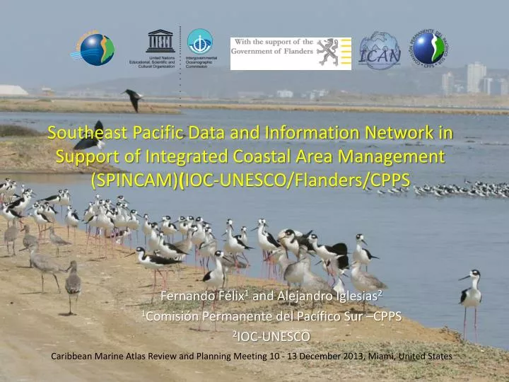
Southeast Pacific Data and Information Network in Support of Integrated Coastal Area Management (SPINCAM ) ( IOC-UNESCO/Flanders/CPPS. Fernando Félix 1 and Alejandro Iglesias 2 1 Comisión Permanente del Pacífico Sur –CPPS 2 IOC-UNESCO.

E N D
Southeast Pacific Data and Information Network in Support of Integrated Coastal Area Management (SPINCAM)(IOC-UNESCO/Flanders/CPPS Fernando Félix1 and Alejandro Iglesias2 1Comisión Permanente del Pacífico Sur –CPPS 2IOC-UNESCO Caribbean Marine Atlas Review and Planning Meeting 10 - 13 December 2013, Miami, UnitedStates
SPINCAM PROJECT (IOC-UNESCO/Flanders/CPPS) Designed to establish an integrated coastal area management (ICAM) indicators framework in the countries of the Southeast Pacific (Chile, Colombia, Ecuador, Panama and Peru) Executed through the IOC/UNESCO) with the financial support of the Government of Flanders and the coordination of the Permanent Commission for the South Pacific (CPPS).
Project Outcome: • Technical and managerial capacity for the development of indicators based reports (State of the coast report for decision makers/civil society), including their spatial representations, within the framework of existing national and regional ICAM programmes.
Coordination • SteeringCommeetee (evaluation / planning) • Project Coordinator (CPPS) • 5 National Focal Points • ODINCARSA Regional Representative Data Management • ODINCARSA Regional RepresentativeInformationManagement • FlandersRepresentative • IOC/UNESCO Representatives (IOCARIBE Secretariat, IODE and ICAM)
Firstphase (2008-2012) (i) • Institutional arrangements for data sharing and compiling • National indicators (as established by countries) • Regional indicators: • Population density • Coastal and Marine Protected Areas • Water Quality • Biodiversity • Coastal management instruments
Regional Geoportal (i) • Graphic representation of indicators • Integration with marine biodiversity information • Technical information • WebGIS: Mapserver + Javascript + open access base maps • Database: POSGRESOL • Server: LINUX CENTOS 5 http://190.95.249.246:8080/geoPortalCPPS/geovisor/index.html Visit our website! www.spincamnet.net (Atlas section)
SIBIMAP Contains • Four modules cetaceans, sea turtles, MCPA and sharks (in progress) • Georeferenced information • Ecological/biological information • Bibliographic references • Digital repository www.sibimap.net
SecondPhase (2013-2016) Objective: To support the development of decision-making tools and implementation of ICAM through improved data and information management capacity, knowledge, communication and networking at national and regional level.
Courses and workshops (2013) • IX UniversityExpertCourseonGeographicInformationSystems . Palos de la Frontera, Huelva, Spain (22 April- 28 June 2013) • Coursetoestablishthe South PacificOcean Data Portal Network. Buenos Aires, Argentina, October 2013 (CPPS/COI-UNESCO/IODE/ODINCARSA) • Workshoponindicators, data management and visualizationoptions. Santa Marta, Colombia 2-4 December 2013 (expertsfrom ICAN, CMA, CLME) • SPINCAM II SteeringCommittee Meeting Reunión del Comité Directivo SPINCAM II, Santa Marta, Colombia 4 December 2013
New regional indicators (i) • Socio-economic (ledby PA) • Number of inhabitants with employment and number of inhabitants unemployed by economic activity and coastal districts. • Public and private investment in infrastructure by coastal district in US $/year • Gini coefficient by country and year
New regional indicators (ii) • Key costal-marine ecosystems
New regional indicators (iii) • CoastalVulnerability • Populationaffectedbycoastal extreme events • Effects of climatechange:El Niño / La Niña • Coastal erosion
New regional indicators (iv) • Total floating population in coastal tourist sites • Total number of tourist overnight in hotels and lodges, second home, family or friends, per day. • Net migration rate in coastal cities • Number of people who have moved to coastal cities in the last 5 years
New regional indicators (v) • Coastal infrastructures • mariculture (ha) • port facilities (ha) • maritime-fishing facilities (ha)
New regional indicators (vi) • Sustainability of traditional fishing • Number of artisanal fishermen by port • Effort: length (m) of artisanal vessels by port • Total landings by port • Types of gear by artisanal fishing port • Catch composition: proportion of the 5 species for direct human consumption by port • Number of endangered species in the catch
Challenges • Place institutional arrangements at national level • Mainstreaming SPINCAM within planning and budget of national institutions • Administrative arrangements for money reception • Agree on standards for data and formats • Indicators respond to national/regional needs for decision making • Appropriated messages at different levels of decision making • Indicators updated in the long term
Synergieswith CMA and CLME+ (i) • Our lessons learnt on: • Definition of data standards • Establishment of a regional spatial data infrastructure • Definition and implementation of national and regional indicators • Main problems found training the wrong technicians
Synergieswith CMA and CLME+ (ii) • Our common challenges: • Involvement of SPINCAM countries (CO & PA) in CMA2 • Join efforts to provide training in Spanish in those topics of common interest • Linking our atlases and exchange of good practices at national and regional level to support coastal and marine management and planning in the context of the CLME.