Download
1 / 18
180 likes | 183 Views
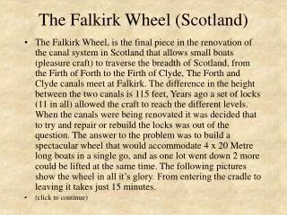
This project aims to gain insights into how local government organizations can collect, publish, and use open geospatial data to address poverty in Falkirk. The project focuses on four key areas: Fairer Access to Services, Fairer Culture, Fairer Money, and Fairer Childhood. It uses OpenStreetMap (OSM) data themes to map and analyze community resources and needs, with the goal of creating a fairer Falkirk.

E N D
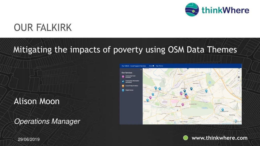
OUR Falkirk Mitigating the impacts of poverty using OSM Data Themes Alison Moon Operations Manager
ODI Data Stimulus fund Aim - to gain insights into how local government organisations can best collect, publish and use open geospatial data
Towards a fairer falkirk • 1 in 5 people live in poverty • 1 in 4 children live in poverty • 58% of people in poverty live in a household where someone is working • £62m less per year in Falkirk economy
Towards a fairer falkirk • Fairer Access to Services • Fairer Culture • Fairer Money • Fairer Childhood “Poverty is both a cause and a consequence of poor access to services” Towards a Fairer Falkirk 2019-2024
an open data approach… Features Mapping OSM Features
Data Themes Digital Access Community Food Provision Community Information & Advice Council Help & Advice
Define the data needed THEME CREATION Are there geographic features captured within OSM ? Are there appropriate OSM tags to describe these features? New theme config Our Falkirk web map Define the taggingscheme Community Feedback Add data & tags to OSM OSM Database
Define the data needed Data THEME CONFIG Are there geographic features captured within OSM ? Are there appropriate OSM tags to describe these features? New theme config Our Falkirk web map Define the taggingscheme Community Feedback Add data & tags to OSM OSM Database
Future perspectives • Fairer Falkirk • Expand the audience • Enhanced data content • OSM / Wider Community • Theme Creation Wizard • Further Implementations / Functional Enhancements
resources • Our Falkirk web map-http://our.falkirk.gov.uk • Open source code - https://github.com/thinkWhere/Open-Data-Viewer • Project OSM wiki – https://wiki.openstreetmap.org/wiki/User:Fairer_Falkirk • TagInfo – https://taginfo.openstreetmap.org/ • Project Report - https://thinkwhere.com/wp-content/uploads/2019/02/ODI-final-report-Falkirk-Support-Services_Final.pdf