Download
1 / 47
470 likes | 575 Views
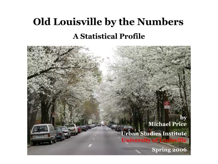
Old Louisville by the Numbers A Statistical Profile. by Michael Price Urban Studies Institute University of Louisville Spring 2006. Geography

E N D
Old Louisville by the Numbers A Statistical Profile by Michael Price Urban Studies Institute University of Louisville Spring 2006
Geography For this study, Old Louisville was defined as five Census Tracts (50, 51, 52, 53, and 66). Tract 53 contains the University of Louisville, DuPont Manual High School, Noe Middle School, and YPAS. Tract 51 includes the Limerick Neighborhood. The entire study area–bounded by York Street (North), I-65 (East), 9th Street (West), and the University (South)—is 1.7 square miles.
Subjects addressed • Demographics • Housing • Households and families • Educational characteristics • Economic characteristics • Crime reports • Healthy births (population)
Data sources • U.S. Census Bureau decennial censuses • Kentucky birth and death records • Jefferson County Public School records • Louisville Metro Police crime reports
Since 1980, the number of residents in Old Louisville has been stable—at approximately 13,000 persons. The neighborhood is home to roughly two percent of the total population of Jefferson County.
Population Density Old Louisville is the most densely populated neighborhood in Jefferson County. In 2000, three Census Tracts (51,52, and 66) had the highest population density among all county census tracts—over 10,000 persons per square mile. For the study area, as a whole, there were 7,800 Old Louisville residents per square mile. Across Jefferson County, on average, there were 1,800 residents per square mile. Tract 51 Tract 66 Tract 52 One dot represents one person in 2000. Data are shown for census blocks.
Seniors in Old Louisville are concentrated in central blocks. Map: one dot equals one person age 65 or above in 2000. Data are shown for census block groups.
White not Hispanic or Latino
Old Louisville Housing Trends • 1990-2000 • In 2000, there were 8,060 housing units in Old Louisville, a reduction of 157 units since 1990 or 1.9 percent. • Occupied units increased by 172 or 2.5 percent and vacant units decreased by 329 or 25.5 percent.
8,217 8,060
Total housing units 1-unit, detached 1-unit, attached 2 units 3 or 4 units 5-9 units 10-19 units 20 or more units
Families reside throughout Old Louisville. Map: one dot represents one family household with children under age 18 in 2000. Data are shown for census block groups.
Seniors living alone in Old Louisville Map: one dot represents one person age 65 or above living alone in 2000. Data are shown for census block groups
College students in Old Louisville Map: one dot equals one person enrolled in college in 2000. Data are shown for census block groups.
Poverty Map 2000 Grey dot represents one person. Red dot represents one person living in poverty. Data are shown for census block groups.
Crime in Old Louisville Map: one dot represents one report of criminal activity made to Louisville Metro Police in 2003. Data are shown by street address.