1 / 16

Bathymetric Mapping of Dells Mill Pond

Tools of the Trade. This is the Trimble GeoExplorer. It allows the user to set data categoriesand use them to store data to be transferredto the computer for use in the map.. This is a Humminbird depth locatorthis is used with the GPS to acquirewater depths, which are stored in theGPS and later put in the map..

skah
Download Presentation

Bathymetric Mapping of Dells Mill Pond

An Image/Link below is provided (as is) to download presentation Download Policy: Content on the Website is provided to you AS IS for your information and personal use and may not be sold / licensed / shared on other websites without getting consent from its author. Content is provided to you AS IS for your information and personal use only. Download presentation by click this link. While downloading, if for some reason you are not able to download a presentation, the publisher may have deleted the file from their server. During download, if you can't get a presentation, the file might be deleted by the publisher.

E N D

Presentation Transcript


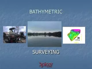
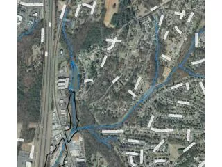
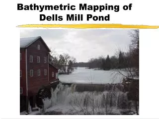
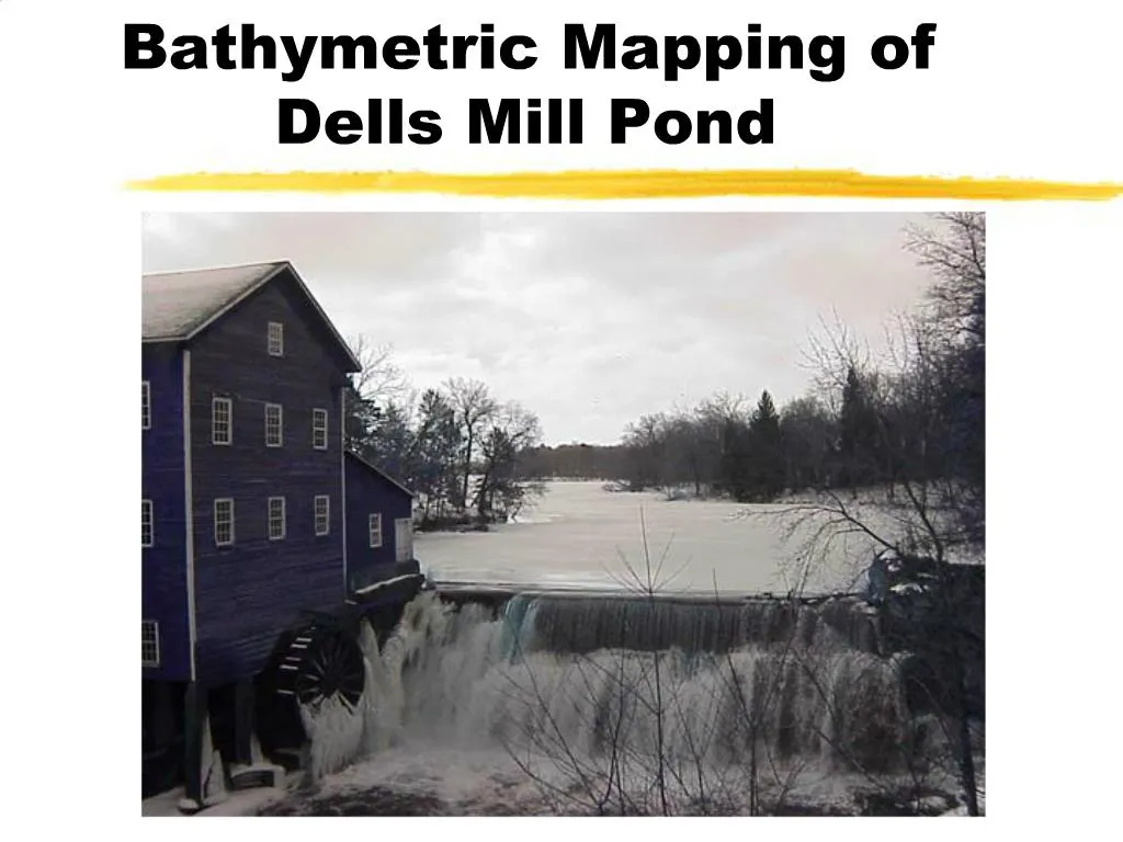
    1. Bathymetric Mapping of Dells Mill Pond

    2. Tools of the Trade

    3. More Tools

    4. GPS

    5. Data Dictionary

    6. Getting the Shape

    7. Collecting Data

    8. Information Processing

    9. Information Processing 2

    10. Correcting Files

    11. Get Unzipped

    12. Formatting

    13. Starting the Map

    14. Connect the Dots

    15. Getting Close

    16. Wrapping it up

    17. Useful Tools

More Related