Download
1 / 4
0 likes | 5 Views
Sky High Bull's-Eye offers aerial targets for drones, GCP target mapping & ground control point markers. Use UAV surveying for high-altitude mapping.

E N D
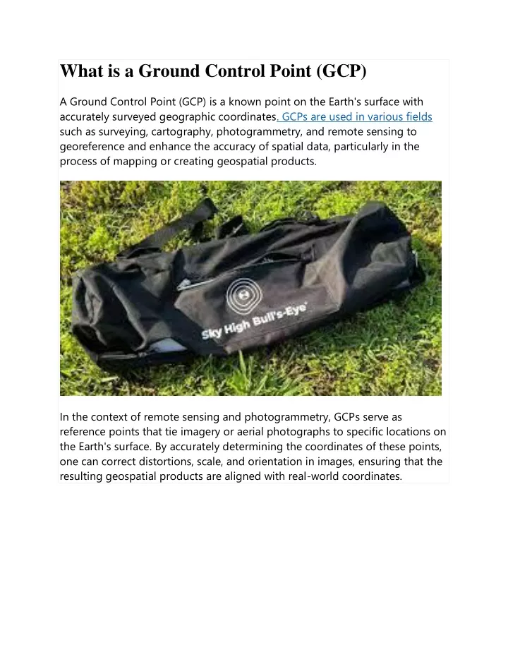
What is a Ground Control Point (GCP) A Ground Control Point (GCP) is a known point on the Earth's surface with accurately surveyed geographic coordinates. GCPs are used in various fields such as surveying, cartography, photogrammetry, and remote sensing to georeference and enhance the accuracy of spatial data, particularly in the process of mapping or creating geospatial products. In the context of remote sensing and photogrammetry, GCPs serve as reference points that tie imagery or aerial photographs to specific locations on the Earth's surface. By accurately determining the coordinates of these points, one can correct distortions, scale, and orientation in images, ensuring that the resulting geospatial products are aligned with real-world coordinates.
The process of collecting and using GCPs involves identifying distinct features on the ground that can be easily identifiable in both the imagery and on maps. Common GCPs include easily recognizable features like road intersections, prominent landmarks, or well-defined corners of buildings. Survey-grade GPS receivers or other precise surveying techniques are typically used to determine the accurate geographic coordinates of these points.
In summary, Ground Control Points play a crucial role in georeferencing and aligning spatial data with real-world coordinates, contributing to the accuracy and reliability of maps and other geospatial products.