Download
1 / 22
220 likes | 225 Views
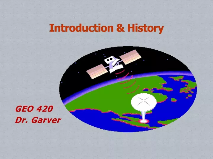
Introduction & History. GEO 420 Dr. Garver. 7 elements of remote sensing process. Energy Source (A) Radiation & Atmosphere (B) Interaction with Targets (C) Recording of Energy by Sensor (D) Transmission & Reception (E) Interpretation and Analysis (F) Application (G).

E N D
Introduction & History GEO 420 Dr. Garver
7 elements of remote sensing process • Energy Source (A) • Radiation & Atmosphere (B) • Interaction with Targets (C) • Recording of Energy by Sensor (D) • Transmission & Reception (E) • Interpretation and Analysis (F) • Application (G)
Whatis remote sensing? • remote sensing (v) the science of deriving information about the earth's land, atmosphere and water areas from images acquired at a distance. • Relies on measurement of electromagnetic energy reflected or emitted from the features of interest.
Synoptic Main Entry: syn·op·ticFunction: adjectiveEtymology: Greek synoptikos, from synopsesthai 1 : affording a general view of a whole2 : manifesting or characterized by comprehensiveness or breadth of view3 : relating to or displaying conditions (as of the atmosphere or weather) as they exist simultaneously over a broad area
Tornadoes - F-5 - largest and most powerful classification - winds 300 m/h. TGOES-East weather satellite produces images of most of U. S. every 30 min. in vis and IR wavelengths.
Main Entry: res·o·lu·tion Pronunciation: "re-z&-'lü-sh&n”Function: noun the process or capability of making distinguishable the individual parts of an object, closely adjacent optical images, or sources of light. the point in a literary work at which the chief dramatic complication is worked out.
What are R.S. Images Used For? • Unique view of our planet. • Remote sensing allows us to examine, in unprecedented detail, characteristics of our atmosphere, oceans, and land areas. • Use sensors to view the spectral and spatial relations of objects at a distance.
3. Oceans CZCS
1850s- balloonists took pictures of ground using newly invented photo-camera. First known aerial photograph was obtained by Gaspard Felix Tournachon (Nadar) from a tethered balloon 1,700-ft. above Paris, France in 1858. Took first photographs in 1853 and in 1858 became the first person to take aerial photographs
Late 1800s – Early 1900s Pigeon fleet used to carry cameras
1957 - Soviet Union launched Sputnik I • World's first artificial satellite • Size of a basketball, 183 pounds • Ushered in new political, military, technological, and scientific developments. • Start of the space age and • U.S.-U.S.S.R space race.
First ever U.S. satellite in Earth orbit designed to image and monitor weather. TIROS-1, launched April, 1960 soon after NASA came into existence. Image is considered the official start of remote sensing from satellites.
First non-photo sensors were television cameras mounted on unmanned spacecraft to look at clouds. TIROS-1 Superimposed on cloud patterns is a generalized weather map; this kind of data display soon started to appear in television news broadcasts.
1970's – matured - repetitive schedule instruments on • Skylab( then Space Shuttle) • Landsat-first satellite dedicated to mapping natural and cultural resources on land and ocean surfaces.
Remote sensing has become major tool for monitoring earth/atmosphere system. • BIG BUCKS SPENT on applications for environmental and natural resource management.
Huge improvements in; • Computer-based image processing • PC’s can handle large amounts of data • Makes data accessible to universities, govt. agencies, environmental companies, and individuals.