Download
1 / 27
270 likes | 400 Views
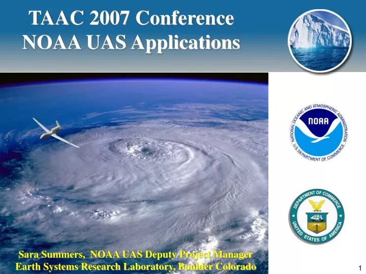
TAAC 2007 Conference NOAA UAS Applications. Sara Summers, NOAA UAS Deputy Project Manager Earth Systems Research Laboratory, Boulder Colorado. NOAA’s Mission.

E N D
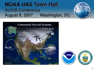
TAAC 2007 Conference NOAA UAS Applications Sara Summers, NOAA UAS Deputy Project Manager Earth Systems Research Laboratory, Boulder Colorado TAAC 2007, December 06, 2007, Albuquerque
NOAA’s Mission To understand and predict changes in the Earth’s environment and conserve and manage coastal, marine, and Great Lakes’ resources to meet our nation’s economic, social, and environmental needs. TAAC 2007, December 06, 2007, Albuquerque
Vision for UAS Applications in NOAA Unmanned Aircraft Systems will revolutionize monitoring of the Earth system, much as radar and satellite technology have done in the past. Critical environmental monitoring needs and requirements remain unmet NOAA will: - accelerate the exploration of this technology for civilian applications - benefit society by improving NOAA’s ability to meet its mission requirements, and - by strengthening US Global Economic Competitiveness in this key emerging technology TAAC 2007, December 06, 2007, Albuquerque
UAS Budget Summary TAAC 2007, December 06, 2007, Albuquerque
Observational Gap GAP between satellites and surface- based sensors UAS have great potential to fill this gap and take observations to complement our existing platforms TAAC 2007, December 06, 2007, Albuquerque
NOAA Is Looking At A Broad Range Of Platforms For Global Information to Fill this Gap TAAC 2007, December 06, 2007, Albuquerque
Proposed Tests Vision – integrated suite of platforms NOAA is planning to test low level and high level UAS over the next few years from the three testbed regions: 2008 - LALE Demonstrations 2009 - LALE/HALE Demonstrations 2010 - HALE Demonstrations 2011 - Go-no-go decision for acquisition based upon tests If a go, then HALE acquisitions will be operated by NOAA Office of Marine and Aviation Operations (OMAO) LALE acquisitions will be operated either by OMAO or field programs TAAC 2007, December 06, 2007, Albuquerque
Gulf Testbed Applications Hurricane Forecasting Hurricane aftermath Katrina (New Orleans) Oil Platforms Dead Zone (harmful algal blooms) TAAC 2007, December 06, 2007, Albuquerque
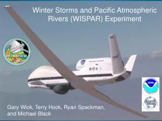
2008 Gulf Tests Data gap: winds data at low levels of hurricane environment: if NOAA can do a better job improving hurricane intensity forecasts, we can potentially save lives and property. Platform: Aerosonde Location: TBD (this year’s was based out of Key West and Wallops) Partners: - NASA Suborbital Space Group located at Wallops Flight Facility in Virginia - Navy: Naval Air Station in Key West, FL (NASKW) - NOAA National Hurricane Center (Miami) - NOAA Key West Weather Forecast Office - AAI/Aerosonde Corporation (WFF) Measurements: low level hurricane winds Sensors: IR sensor; Mini BAT probe to measure turbulence TAAC 2007, December 06, 2007, Albuquerque
NOAA/NASA Noel Aerosonde UAS mission Aerosonde was launched from the NASA Wallops Research Range at 14:08 EST on Friday November 2, 2007. The mission lasted 17 hours 27 minutes and resulted in approximately 7.5 hours of data collection in the core of the hurricane. TAAC 2007, December 06, 2007, Albuquerque
NOAA/NASA Noel Aerosonde UAS mission coordinated with NOAA P-3 A NASA chase aircraft escorted the Aerosonde for the first three hours of the mission at a nominal altitude of 4,000 ft. until well offshore, and returned to Wallops when weather conditions deteriorated in closer proximity of the hurricane. The mission continued overnight with Aerosonde being drawn into the core of the hurricane and measuring winds as high as 80 mph. The Aerosonde UAS approached the center of Noel from the north (black), at around 400 m altitude. At the same time, the P-3 (red) was making a penetration from east to west at around 3500 m altitude. GPS dropwindsondes (blue) were deployed from the P-3. TAAC 2007, December 06, 2007, Albuquerque
Take-off from Wallops Flight Facility Nominal altitude for the Aerosonde was 500 to 2,000 feet. Aerosonde P-3 (3500 m) “Eye” loitering with vertical soundings (100-1500 m) KMCF Rendezvous with P-3 at storm center 0525 UTC Courtesy Joe Cione TAAC 2007, December 06, 2007, Albuquerque
Arctic Testbed Applications Fisheries Enforcement Marine and ecosystem Monitoring Pipeline Transboundary Air Pollution from Asia Coastal Erosion Wild Fires TAAC 2007, December 06, 2007, Albuquerque
2008 Arctic Tests • Data gap:Arctic observations (satellite and surface) are sparse; improved observations of sea ice and Arctic mammal counts, e.g. ice seals, will give us a clearer indication of rate of ice melt and climate change. • Platform: Aerosonde (AAI), Scan Eagle (In Situ) • Location:The restricted airspace at Oliktok Point, AK • Partners: • - NOAA Fisheries, National Marine Mammal Laboratory • - University of Alaska, Fairbanks • - University of Colorado, Boulder, • - Sandia National Laboratories (DOE ARM Program) • Measurements: Ice Seals distribution; Sea Ice characteristics • Sensors: • - Digital still camera (Nikon D2X or D3X) • - Infrared video camera (Helitronics KT11 and TBD ) • - Up- and down-looking spectrometers (Ocean Optics USB2000) • - laser height measurement system (U. of Colorado UAS Laser Profiling System) TAAC 2007, December 06, 2007, Albuquerque
1979 TAAC 2007, December 06, 2007, Albuquerque
2003 TAAC 2007, December 06, 2007, Albuquerque
Arctic ice seal abundance and distribution Spotted seal Ringed seal Bearded seal Ribbon seal TAAC 2007, December 06, 2007, Albuquerque
Proposed Arctic UAS Mission, FY08 TAAC 2007, December 06, 2007, Albuquerque • Mission justification Detailed, fine scale measurements of sea ice qualities are needed to inform climate models to better predict what effects changes in sea ice will have on the Arctic climate Four species of seals depend on sea ice for resting or breeding; almost nothing is known about these four species, and changes in sea ice will have dramatic effects on their abundance and distribution Why UAS required? Sea ice: Satellite obs do not provide necessary detail Ice seals: Occur throughout the Arctic Ocean; manned aerial surveys cannot cover the entire range of the four species
2008 Pacific Tests • Data gap: NOAA wants to improve its understanding of the characteristics of and moisture transport within atmospheric rivers to help improve precipitation and flood forecasts along the west coast of the US. • Platform: Manta (Advanced Ceramics Research) • Location: Barking Sands (PMRF), Hawaii • Partners: • - NOAA Earth System Research Laboratory • - NOAA Ocean Service • - Scripps Institute of Oceanography • Measurements: Water Vapor • Sensors: • - Advanced aircraft motion package: High rate aircraft attitude required for flux measurement • - KH20 Krypton Hygrometer: fast measurements of water vapor fluctuations • - Met package: high rate temperature and pressure • - Gust probe • - Condensation particle counter: aerosol concentration for measurement of aerosol flux TAAC 2007, December 06, 2007, Albuquerque
Pacific Testbed Applications (35% of earth’s surface) Ghost Nets, Marine Debris Northwest Hawaiian Islands National Monument: world’s largest marine sanctuary and one of the most pristine marine ecosystems in the world, nearly untouched by humans. 1,400 long and home to more than 7,000 species, many seen nowhere else in the world Pacific Typhoon (August 7, 2006) Atmospheric River TAAC 2007, December 06, 2007, Albuquerque
Atmospheric Rivers and Flooding Atmospheric river • Between1997 to the present, all 7 flooding events on the Russian River corresponded to the presence of atmospheric rivers TAAC 2007, December 06, 2007, Albuquerque
Motivation La Conchita CA, 10 Jan 2005 White River in Oregon, 7 November 2006 Photo courtesy of Doug Jones TAAC 2007, December 06, 2007, Albuquerque
20 hr 15 hr ~10,000 km transects 75-100 km dropsonde spacing 10-15 sondes/transect # transects determined by range/endurance and dropsonde capacity TAAC 2007, December 06, 2007, Albuquerque
Summary • Unmanned Vehicle Systems can fill large monitoring and prediction gaps. • Unmanned Vehicle Systems can help NOAA advance its observational capabilities, thereby improving the services it provides to the Nation. • FY 08 is an important budgetary year in that NOAA will be able to get the program started. TAAC 2007, December 06, 2007, Albuquerque
NOAA UAS Project Contacts • http://UAS.noaa.gov • Marty.Ralph@noaa.gov - NOAA UAS Project Manager • Sara.Summers@noaa.gov - Deputy Project Manager • Philip.G.Hall@noaa.gov - UAS Flight Operations, COAs TAAC 2007, December 06, 2007, Albuquerque
QUESTIONS ? TAAC 2007, December 06, 2007, Albuquerque