Download
1 / 20
220 likes | 396 Views
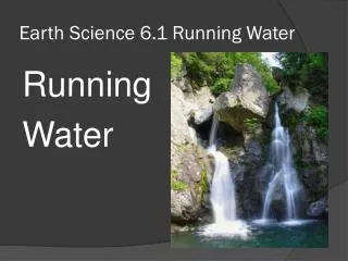
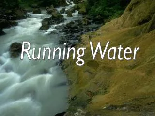
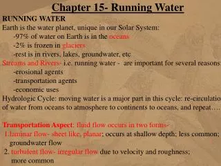
Running Water. The hydrologic cycle is the flow of water circulation from ocean to atmosphere to land and back to the ocean. The Hydrologic Cycle. The river or stream is the component of the hydrologic cycle that will be focused on in our studies.

E N D
The hydrologic cycle is the flow of water circulation from ocean to atmosphere to land and back to the ocean. The Hydrologic Cycle
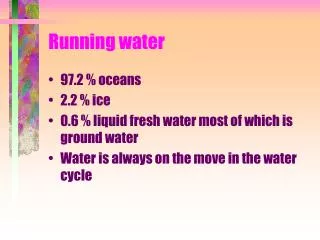
The river or stream is the component of the hydrologic cycle that will be focused on in our studies. From our perspective on land, the amount of water in streams and rivers on Earth seems infinite, yet in context of all the water on Earth, rivers and streams represent less than 0.002%. There is 1000 times more water in all of the glaciers on Earth.
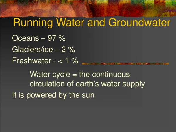
Distribution of water on the earth 97.2% 2.15% 0.03%
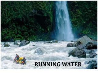
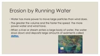
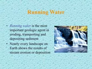
The amount of water in all rivers and streams on Earth (termed running water) is small in relation to all of the water contained in the oceans, glaciers and under the ground, running water is, by far the most important agent in sculpting and shaping the land’s surface Running Water
You may say precipitation is the source for water for stream runoff, however it is not the number one source. The majority of water that feeds streams comes from water that has seeped into the ground (percolation) and returns slowly to the surface. The major source is groundwater. Where Does the water come from?
Once on the surface, water will move under the force of gravity. Streams are the liaison between land and ocean. Water flows from high elevations to low.
Streams Streams flow in channels, the V-shaped feature on Earth’s surface. The base of the channel is often referred to as the bed.
The high point where water flows from is termed the headwaters, and where it terminates, the low point is the mouth. The difference in elevation from headwaters to mouth, or the slope, is referred to as the gradient of the stream. The gradient varies along a stream but generally decreases from headwaters to mouth.
Streams form an interconnected network comprising the main stream and its tributaries (or feeder streams). The land area that feeds or drains into a network of streams is a drainage basin or watershed. Drainage basins Canada has four main drainage basins
Streams and tributaries in a drainage basin have a definite geometric relationship. This relationship can be demonstrated by assigning a stream-order to each stream. When two or more first-order streams join, a second-order stream is formed. This patter continues on and on. Types of Drainage basins
Network patterns Streams and their tributaries form distinctive patterns. These patterns are dependent on topography, underlying geology and the history of the stream. All streams tend to follow a branching pattern but the shape of the branching pattern may vary. Most stream systems belong to one of four main patterns or drainage types
This pattern resemble the branches on a tree. The randomness of the stream pattern is due to the uniformity of the underlying bedrock. The underlying bedrock does not vary in terms of its resistance to erosion. It can cut as easily in one place as in another. Most streams are of this pattern. Dendritic
This drainage pattern is characterized by streams radiating outward in all direction from a high central point. This would be streams developing around an extinct volcano. radial
When the underlying bedrock is crisscrossed by perpendicular fractures, this pattern occurs. The fractures form zones of weakness vulnerable to erosion and stream development. rectangular
Following the pattern that resembles the stems of a vine on a trellis, is where this pattern name comes from. Again the underlying bedrock is the cause of this pattern. With the bedrock composed of several different rock types it causes differences in resistance to erosion. trellis
Streams within a network are characterized by their stream-order and pattern, but as an individual it can be described by its velocity and discharge. Velocity of a stream is measured in terms of the distance the water travels in a unit of time. Velocity= distance/time The velocity of a stream varies from stream to stream, along a stream’s gradient, and also within a stream. Stream velocity
Along straight stretch of a stream, the velocity is greatest in the centre of the stream
Where there is a bend , the velocity is greatest near the outside of the bend.
This is the amount of water passing through a stream channel in a unit of time. Discharge = volume/time Usually measured in m3/s To gain some perspective, a discharge of 1 m3/s would fill 2000 backyard swimming pools in a day. Mississippi river discharges around 14,000 m3/s Amazon river is 12 times the Mississippi, 168,000 m3/s or 336,000,000 swimming pools. Discharge is directly related to a stream’s channel velocity, depth, and width, as well as the streams drainage basin and availability of water. Discharge