Download
1 / 29
290 likes | 399 Views
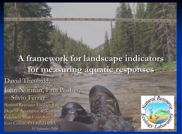
A framework for landscape indicators for measuring aquatic responses. David Theobald, John Norman, Erin Poston, Silvio Ferraz Natural Resource Ecology Lab Dept of Recreation & Tourism Colorado State University Fort Collins, CO 80523 USA 11 September 2004. Context.

E N D
A framework for landscape indicators for measuring aquatic responses David Theobald, John Norman, Erin Poston, Silvio Ferraz Natural Resource Ecology Lab Dept of Recreation & Tourism Colorado State University Fort Collins, CO 80523 USA 11 September 2004
Context • Challenges of STARMAP (EPA): • Addressing science needs Clean Water Act • Integrate science with states/tribes needs • From correlation to causation • Tenable hypotheses generated using understanding of ecological processes Goal: to find measures that more closely represent our assumptions of how ecological processes are operating
Constraints Landscape processes • Spatial & temporal scales, processes Poff, N.L. 1997
Landscape Context of Metrics • Co-variate(s) at spatial location, site context • E.g., geology, elevation, population density at a point • Co-variate(s) within some distance of a location • Housing density at multiple scales • Watershed-based variables • Amount of contributing area, flow volume, etc. • Spatial relationships between locations • Euclidean (as the crow flies) distance between points • Euclidean (as the fish swims) hydrologic network distance between points • Functional interaction between locations • Directed process (flow direction), anisotropic, multiple scales • How to develop spatial weights matrix? • Not symmetric, stationary violate traditional geostatistical assumptions!?
Challenges: conceptual & practical • Definition of a watershed • Overland surface process vs. in-stream flow process • Scale/resolution issues • E.g., different answers at 1:500K vs. 1:100K vs. 1:24K • Artifacts in data • Attribute errors, flow direction, braided streams • Linking locations/points/events to stream network • Reach-indexing gauges, dams? • Very large databases • GIS technology innovations and changes
“Watershed”-based analyses • % agricultural, % urban (e.g., ATtILA) • Average road density (Bolstad and Swank) • Dam density (Moyle and Randall 1998) • Road length w/in riparian zone (Arya 1999) • But ~45% of HUCs are not watersheds Southern Rockies Ecosystem Project. 2000. EPA. 1997. An ecological assessment of the US Mid-Atlantic Region: A landscape atlas.
Watersheds/catchments as hierarchical, overlapping regions River continuum concept (Vannote et al. 1980)
Dominant downstream process Upper and lower Colorado Basin Flows to downstream HUCs
“true” catchments “adjoint” catchments Reaches (segments) Reach Contributing Areas (RCAs) Automated delineation • Inputs: • stream network (from USGS NHD 1:100K) • topography (USGS NED, 30 m or 90 m) • Process: • “Grow” contributing area away from reach segment until ridgeline • Uses WATERSHED command
Watershed – Stream Process/Functional Zonal Accumulate Up/down (net.) Watersheds HUCs/WBD Reach Contributing Areas (RCAs) Grain (Resolution)
Reaches are linked to catchments • 1 to 1 relationship • Properties of the watershed can be linked to network for accumulation operation
RCA example • US ERF1.2 & 1 km DEM: 60,833 RCAs
Key GeoNetworks! • Need to represent relationships between features • Using graph theory, networks • Retain tie to geometry of features • Implementation in ArcGIS • GeometricNetworks (ESRI – complicated, slow) • GeoNetworks: Open, simple, fast
RCAs are linked together – but spatial configuration within an RCA? 1. Ignore variability 2. Buffer streams 3. Buffer outlet
2 major hydro. processes w/in RCA 1. Overland (hillslope): Distance (A to A’) 2. Instream flow: Distance (A’ to O)
Flow distance: overland + instream • Hydro-conditioned DEM (e.g., EDNA) • FLOWDIRECTION • FLOWLENGTH
Flow distance: overland • Hydro-conditioned DEM (e.g., EDNA) • Burn stream into FLOWDIRECTION • FLOWLENGTH
Flow distance: instream • Hydro-conditioned DEM (e.g., EDNA) • FLOWDIRECTION • FLOWLENGTH from outline – overland FLOWLENGTH
Why are functional metrics important? • Clearer relationship between assumption of ecological (aquatic, terrestrial) process, potential effects (e.g., land use change) and response • Huge (insurmountable?) challenge is that we cannot develop traditional experimental design (manipulated vs. controlled) because landscapes are so large and human activities so dominant • More direct relationship between process and measure, biologically meaningful
FLOWS v0.1: ArcGIS v9 tools • Higher-level objects faster coding! • Open source • Integrated development for documentation
Planned future activities • Papers • Completing draft manuscripts on: GIS-GRTS, RCAs, overland/instream flow, dam fragmentation, GeoNetworks • Presentations • Theobald GRTS Sept. 23 • Poston • Products • FLOWS tools • Datasets: RCAs (ERF1.2) • Education/outreach • Training session for FLOWS tools
Possible future activities • Dataset development • RCA nationwide with involvement for USGS NHD program • Reach indexing dams (for EPA, Dewald) • Discharge volume • Symposium: “At the interface of GIS and statistics for ecological applications” (~January 2005) • What are the strengths and weaknesses of GIS-based and statistical-based tools? • How can/should statisticians respond, direct, and utilize GIS-based types of tools? • How can/should statistical tools be best integrated with GIS? • What are the needs of agencies if statistical-based tools are to be used? When should GIS-based tools be used? • How can these two approaches best complement one another?
CR - 829095 This research is funded by U.S.EPA – Science To Achieve Results (STAR) Program Cooperative Agreement This research is funded by U.S.EPA – Science To Achieve Results (STAR) Program Cooperative Agreement This research is funded by U.S.EPA – Science To Achieve Results (STAR) Program Cooperative Agreement This research is funded by U.S.EPA – Science To Achieve Results (STAR) Program Cooperative Agreement This research is funded by U.S.EPA – Science To Achieve Results (STAR) Program Cooperative Agreement # CR - 829095 # CR - 829095 # CR - 829095 # CR - 829095 # CR - 829095 Thanks! • Comments? Questions? • Funding/Disclaimer: The work reported here was developed under the STAR Research Assistance Agreement CR-829095 awarded by the U.S. Environmental Protection Agency (EPA) to Colorado State University. This presentation has not been formally reviewed by EPA. The views expressed here are solely those of the presenter and STARMAP, the Program (s)he represents. EPA does not endorse any products or commercial services mentioned in this presentation. • STARMAP: www.stat.colostate.edu/~nsu/starmap • RWTools: email davet@nrel.colostate.edu Funding/Disclaimer: The work reported here was developed under the STAR Research Assistance Agreement CR-829095 awarded by the U.S. Environmental Protection Agency (EPA) to Colorado State University. This presentation has not been formally reviewed by EPA. The views expressed here are solely those of the presenter and STARMAP, the Program (s)he represents. EPA does not endorse any products or commercial services mentioned in this presentation. Funding/Disclaimer: The work reported here was developed under the STAR Research Assistance Agreement CR-829095 awarded by the U.S. Environmental Protection Agency (EPA) to Colorado State University. This presentation has not been formally reviewed by EPA. The views expressed here are solely those of the presenter and STARMAP, the Program (s)he represents. EPA does not endorse any products or commercial services mentioned in this presentation. Funding/Disclaimer: The work reported here was developed under the STAR Research Assistance Agreement CR-829095 awarded by the U.S. Environmental Protection Agency (EPA) to Colorado State University. This presentation has not been formally reviewed by EPA. The views expressed here are solely those of the presenter and STARMAP, the Program (s)he represents. EPA does not endorse any products or commercial services mentioned in this presentation. # CR - 829095 # CR - 829095 # CR - 829095